
| Distance / Altitude | Location | Report Date / Time | Live Weather | Wind | Gusts | Temp. | Visibility | Cloud |
|---|---|---|---|---|---|---|---|---|
| 1119 km NE / 9 m | Georgetown wx (New Zealand) | 2026-06-22 14:46 local (2026/06/22 04:46 GMT) | dry | calm (3 km/h at 348) | 6°C | - | - - 0 | |
| 1244 km NE / 2 m | Dunedin Airport (New zealand) | 2026-06-22 14:30 local (2026/06/22 04:30 GMT) | Dry and partly cloudy | calm (2 km/h at 350) | 8°C | 10.0 | no cloud | |
| 1263 km NE / 1000 m | Skyline Gondola (New Zealand) | 2026-06-22 15:00 local (2026/06/22 05:00 GMT) | - | light winds from the WSW (19 km/h at 254) | 6°C | - | - - 0 | |
| 1272 km NE / 1 m | Port Chalmers wx (New Zealand) | 2026-06-22 15:03 local (2026/06/22 05:03 GMT) | dry | calm (3 km/h at 247) | 8°C | - | - - 0 | |
| 1275 km NE / 1620 m | Coronet Peak Tandems (New Zealand) | 2026-06-22 15:00 local (2026/06/22 05:00 GMT) | - | moderate winds from the S (20 km/h at 191) | 4°C | - | - - 0 | |
| 1277 km NE / 450 m | Flightpark (New Zealand) | 2026-06-22 15:00 local (2026/06/22 05:00 GMT) | - | calm (0 km/h at 279) | 3°C | - | - - 0 | |
| 1277 km NE / 1200 m | Rocky Gully (New Zealand) | 2026-06-22 15:00 local (2026/06/22 05:00 GMT) | - | wind obs. (20 kph from 339 degs) was rejected (- km/h at -) | 4°C | - | - - 0 | |
| 1277 km NE / 629 m | Terrace SouthernClub (New Zealand) | 2026-06-22 15:00 local (2026/06/22 05:00 GMT) | - | calm (0 km/h at 322) | 4°C | - | - - 0 | |
| 1289 km NE / 3 m | SHIP7902 (Marine) | 2026-06-22 13:00 local (2026/06/22 03:00 GMT) | light winds from the E (8 km/h at 90) | 12°C | 20.4 | |||
| 1289 km NE / 3 m | SHIP1923 (Marine) | 2026-06-22 13:00 local (2026/06/22 03:00 GMT) | light winds from the E (8 km/h at 90) | 12°C | 20.4 |
| Contours: | Roads & Rivers: | Select a
tide station / surf break / city |
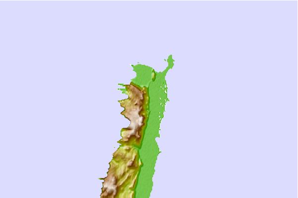
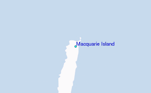
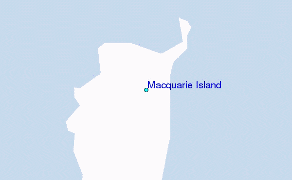
Use this relief map to navigate to tide stations, surf breaks and cities that are in the area of Macquarie Island.
Other Nearby Locations' tide tables and tide charts to Macquarie Island:
click location name for more details
 Surf breaks close to Macquarie Island:
|
||
|---|---|---|
| Closest surf break | Stewart Island - Saber Reef | 636 mi |
| Second closest surf break | Beatons | 684 mi |
| Third closest surf break | Porridge | 684 mi |
| Fourth closest surf break | Frentzes | 685 mi |
| Fifth closest surf break | Nicks Point | 685 mi |


 Nearest
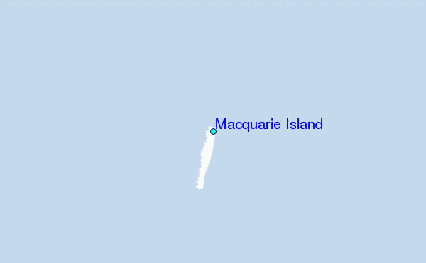