
| Distance / Altitude | Location | Report Date / Time | Live Weather | Wind | Gusts | Temp. | Visibility | Cloud |
|---|---|---|---|---|---|---|---|---|
| 50 km S / 195 m | Tamatave/Toamasina Airport (Comoros) | 2026-07-09 21:00 local (2026/07/09 18:00 GMT) | Dry and partly cloudy | calm (4 km/h at 320) | 19°C | 10.0 | few broken | |
| 249 km SW / 1388 m | Antananarivo/Ivato Airport (Comoros) | 2026-07-09 21:30 local (2026/07/09 18:30 GMT) | - | light winds from the ENE (11 km/h at 60) | 13°C | 10.0 | few | |
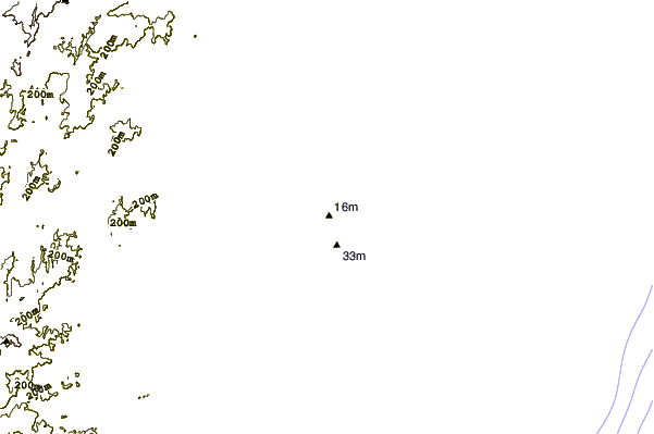
| 306 km E / 15 m | ASCATB52E18S (Marine) | 2026-07-09 20:04 local (2026/07/09 17:04 GMT) | moderate winds from the ESE (20 km/h at 110) | — | - km | |||
| 336 km ENE / 15 m | ASCATB52E17S (Marine) | 2026-07-09 20:04 local (2026/07/09 17:04 GMT) | moderate winds from the E (23 km/h at 97) | — | - km | |||
| 343 km E / 15 m | ASCATB53E18S (Marine) | 2026-07-09 20:04 local (2026/07/09 17:04 GMT) | moderate winds from the ESE (21 km/h at 104) | — | - km | |||
| 348 km ENE / 15 m | ASCATB53E17S (Marine) | 2026-07-09 20:04 local (2026/07/09 17:04 GMT) | moderate winds from the ESE (21 km/h at 104) | — | - km | |||
| 361 km ESE / 15 m | ASCATB53E19S (Marine) | 2026-07-09 20:04 local (2026/07/09 17:04 GMT) | moderate winds from the ESE (21 km/h at 104) | — | - km | |||
| 397 km NE / 15 m | ASCATB52E16S (Marine) | 2026-07-09 20:05 local (2026/07/09 17:05 GMT) | moderate winds from the SSE (24 km/h at 153) | — | - km | |||
| 404 km W / 194 m | Majunga/Mahajanga Airport (Comoros) | 2026-07-09 21:00 local (2026/07/09 18:00 GMT) | - | light winds from the NW (6 km/h at 310) | 22°C | 10.0 | few | |
| 410 km ESE / 15 m | ASCATB53E20S (Marine) | 2026-07-09 20:04 local (2026/07/09 17:04 GMT) | light winds from the ENE (18 km/h at 77) | — | - km |
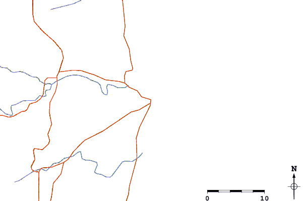
| Contours: | Roads & Rivers: | Select a
tide station / surf break / city |
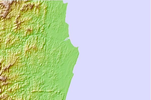
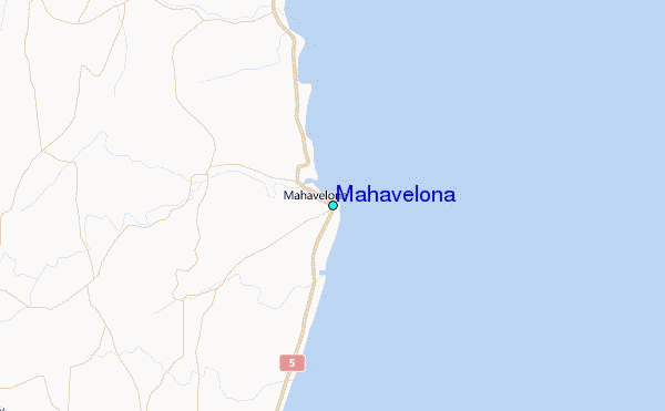
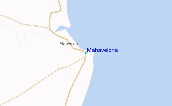
Use this relief map to navigate to tide stations, surf breaks and cities that are in the area of Mahavelona.
Other Nearby Locations' tide tables and tide charts to Mahavelona:
click location name for more details
 Surf breaks close to Mahavelona:
|
||
|---|---|---|
| Closest surf break | Boucan Lefts | 438 mi |
| Second closest surf break | Boucan Rights | 438 mi |
| Third closest surf break | Cap Howard | 438 mi |
| Fourth closest surf break | Les Aigrettes Lefts | 438 mi |
| Fifth closest surf break | Les Aigrettes Right | 438 mi |


 Nearest
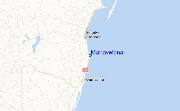