
| Distance / Altitude | Location | Report Date / Time | Live Weather | Wind | Gusts | Temp. | Visibility | Cloud |
|---|---|---|---|---|---|---|---|---|
| 187 km S / 2 m | Tarawa Kiribati Airport (Fiji/tonga/tuvalu) | 2026-07-10 07:00 local (2026/07/09 19:00 GMT) | Dry and partly cloudy | light winds from the WSW (11 km/h at 240) | 28°C | 10.0 | few scattered - | |
| 474 km NW / 3 m | Kalo- Majuro- Marshall Islands (Marine) | 2026-07-10 06:30 local (2026/07/09 18:30 GMT) | - (- km/h at -) | 26°C | - | |||
| 482 km NW / 208 m | Majuro Atoll Airport (Marshall Islands) | 2026-07-10 05:50 local (2026/07/09 17:50 GMT) | Dry and partly cloudy | light winds from the W (9 km/h at 270) | 28°C | 24 | few scattered broken | |
| 491 km NW / 3 m | BUOY-52216 (Marine) | 2026-07-10 07:00 local (2026/07/09 19:00 GMT) | - (- km/h at -) | 27°C | - | |||
| 844 km WNW / 215 m | Kwajalein/buchol Airport (Marshall Islands) | 2026-07-10 06:40 local (2026/07/09 18:40 GMT) | Clear | light winds from the S (9 km/h at 190) | 28°C | 16 | scattered scattered broken | |
| 844 km WNW / 3 m | BUOY-KWJP8 (Marine) | 2026-07-10 07:00 local (2026/07/09 19:00 GMT) | - (- km/h at -) | — | - | |||
| 1555 km SE / 154 m | Funafuti Tuvalu Airport (Fiji/tonga/tuvalu) | 2026-07-10 06:00 local (2026/07/09 18:00 GMT) | Shower - in the vicinity | light winds from the SSE (15 km/h at 150) | 27°C | 10.0 | few few broken | |
| 1674 km W / 192 m | Pohnpei Airport (Micronesia) | 2026-07-10 05:57 local (2026/07/09 17:57 GMT) | Dry and cloudy | calm (0 km/h at 0) | 26°C | 24 | broken overcast overcast | |
| 1705 km S / 24 m | Santa Cruz Island (Solomon Islands) | 2026-07-10 07:00 local (2026/07/09 19:00 GMT) | light rain showers | wind obs. (11 kph from 90 degs) was rejected (- km/h at -) | 26°C | 20 | - - - | |
| 1709 km WSW / 7 m | Cassidy International Airport (Kiribati) | 2026-07-10 06:00 local (2026/07/09 18:00 GMT) | Dry and partly cloudy | calm (4 km/h at 1) | 29°C | 10.0 | scattered |
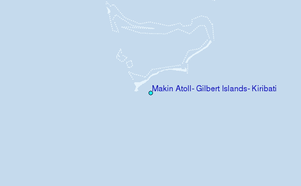
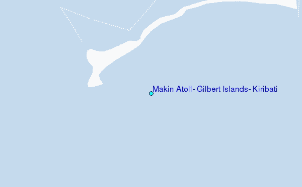
Choose Makin Atoll, Gilbert Islands, Kiribati Location Map Zoom:
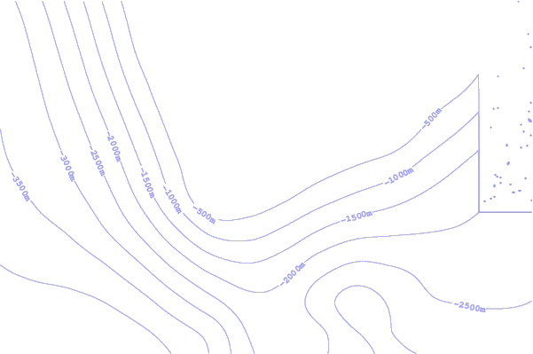
| Contours: | Roads & Rivers: | Select a
tide station / surf break / city |
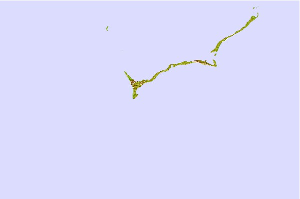
Use this relief map to navigate to tide stations, surf breaks and cities that are in the area of Makin Atoll, Gilbert Islands, Kiribati.
Other Nearby Locations' tide tables and tide charts to Makin Atoll, Gilbert Islands, Kiribati:
click location name for more details
 Surf breaks close to Makin Atoll, Gilbert Islands, Kiribati:
|
||
|---|---|---|
| Closest surf break | Naa | 97 mi |
| Second closest surf break | Sidedish | 698 mi |
| Third closest surf break | Walung | 699 mi |
| Fourth closest surf break | Utua Mamao (Atafu) | 1294 mi |
| Fifth closest surf break | Kundu Kundu | 1332 mi |


 Nearest
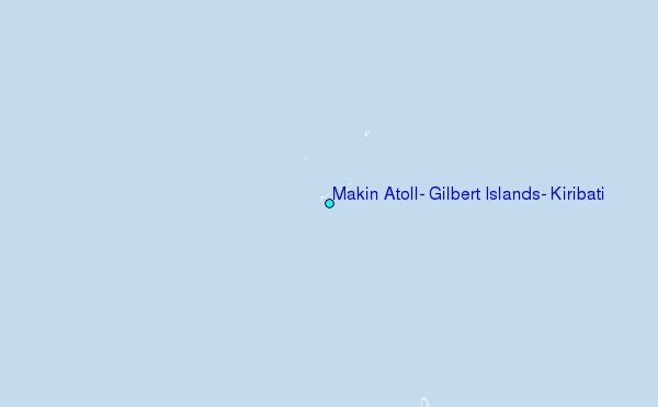