
| Distance / Altitude | Location | Report Date / Time | Live Weather | Wind | Gusts | Temp. | Visibility | Cloud |
|---|---|---|---|---|---|---|---|---|
| 2 km WSW / 1 m | Malindi Airport (Kenya) | 2026-07-09 21:00 local (2026/07/09 18:00 GMT) | - | light winds from the S (19 km/h at 170) | — | 0.0 | ||
| 59 km SSE / 15 m | ASCATB40E4S (Marine) | 2026-07-09 21:49 local (2026/07/09 18:49 GMT) | fresh winds from the SE (29 km/h at 145) | — | - km | |||
| 104 km S / 179 m | Mombasa-Moi International Airport (Kenya) | 2026-07-09 21:30 local (2026/07/09 18:30 GMT) | Dry and partly cloudy | light winds from the SW (6 km/h at 230) | 24°C | 10.0 | scattered - - | |
| 132 km SSE / 15 m | ASCATB41E4S (Marine) | 2026-07-09 21:48 local (2026/07/09 18:48 GMT) | moderate winds from the SSE (27 km/h at 147) | — | - km | |||
| 136 km NE / 1 m | Lamu (Kenya) | 2026-07-09 22:00 local (2026/07/09 19:00 GMT) | no report | light winds from the S (13 km/h at 180) | 30°C | 30 | - | |
| 144 km S / 15 m | ASCATB40E5S (Marine) | 2026-07-09 21:48 local (2026/07/09 18:48 GMT) | moderate winds from the SSE (26 km/h at 148) | — | - km | |||
| 156 km SSE / 15 m | ASCATB41E5S (Marine) | 2026-07-09 21:48 local (2026/07/09 18:48 GMT) | moderate winds from the SSE (28 km/h at 149) | — | - km | |||
| 174 km WSW / 87 m | Voi (Kenya) | 2026-07-09 22:00 local (2026/07/09 19:00 GMT) | no report | wind obs. (15 kph from 240 degs) was rejected (- km/h at -) | 22°C | 30 | - | |
| 256 km S / 15 m | ASCATB40E6S (Marine) | 2026-07-09 21:48 local (2026/07/09 18:48 GMT) | moderate winds from the SSE (27 km/h at 148) | — | - km | |||
| 268 km SSE / 15 m | ASCATB41E6S (Marine) | 2026-07-09 21:48 local (2026/07/09 18:48 GMT) | fresh winds from the SSE (29 km/h at 150) | — | - km |
| Contours: | Roads & Rivers: | Select a
tide station / surf break / city |
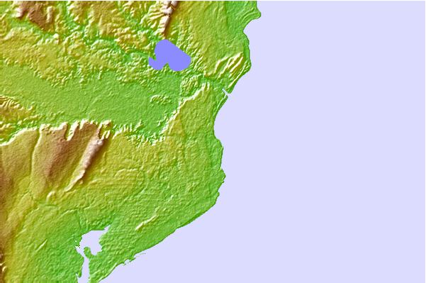
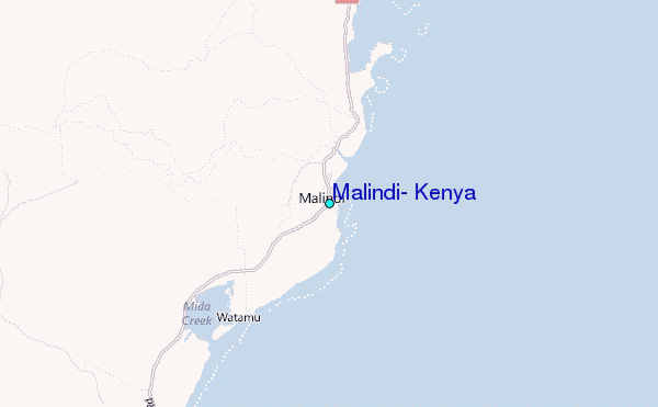
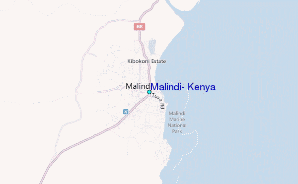
Use this relief map to navigate to tide stations, surf breaks and cities that are in the area of Malindi, Kenya.
Other Nearby Locations' tide tables and tide charts to Malindi, Kenya:
click location name for more details
 Surf breaks close to Malindi, Kenya:
|
||
|---|---|---|
| Closest surf break | Malindi Bay | 1 mi |
| Second closest surf break | Watamu Bay | 11 mi |
| Third closest surf break | Mombasa Channel | 67 mi |
| Fourth closest surf break | Nungwi Reefs | 182 mi |
| Fifth closest surf break | Jam's Right | 248 mi |


 Nearest
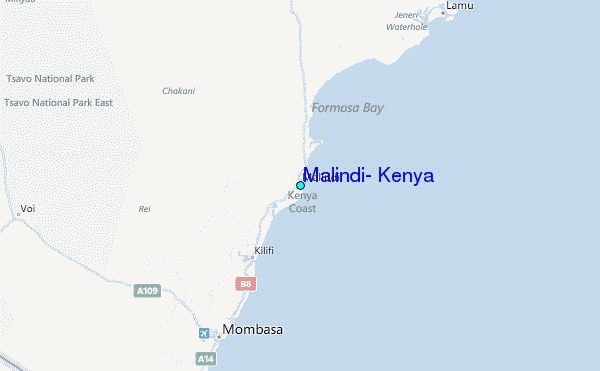