
| Distance / Altitude | Location | Report Date / Time | Live Weather | Wind | Gusts | Temp. | Visibility | Cloud |
|---|---|---|---|---|---|---|---|---|
| 161 km SSE / 3 m | BUOY-52216 (Marine) | 2026-07-10 07:00 local (2026/07/09 19:00 GMT) | - (- km/h at -) | 27°C | - | |||
| 181 km S / 208 m | Majuro Atoll Airport (Marshall Islands) | 2026-07-10 05:50 local (2026/07/09 17:50 GMT) | Dry and partly cloudy | light winds from the W (9 km/h at 270) | 28°C | 24 | few scattered broken | |
| 182 km S / 3 m | Kalo- Majuro- Marshall Islands (Marine) | 2026-07-10 06:30 local (2026/07/09 18:30 GMT) | - (- km/h at -) | 26°C | - | |||
| 385 km WSW / 215 m | Kwajalein/buchol Airport (Marshall Islands) | 2026-07-10 06:40 local (2026/07/09 18:40 GMT) | Clear | light winds from the S (9 km/h at 190) | 28°C | 16 | scattered scattered broken | |
| 386 km WSW / 3 m | BUOY-KWJP8 (Marine) | 2026-07-10 07:00 local (2026/07/09 19:00 GMT) | - (- km/h at -) | — | - | |||
| 836 km SSE / 2 m | Tarawa Kiribati Airport (Fiji/tonga/tuvalu) | 2026-07-10 07:00 local (2026/07/09 19:00 GMT) | Dry and partly cloudy | light winds from the WSW (11 km/h at 240) | 28°C | 10.0 | few scattered - | |
| 1269 km NW / 194 m | Wake Island Airfield Airport (Wake Island) | 2026-07-10 06:30 local (2026/07/09 18:30 GMT) | Haze - | light winds from the ESE (19 km/h at 110) | 29°C | 6 | scattered scattered | |
| 1271 km NW / 3 m | BUOY-WAKP8 (Marine) | 2026-07-10 07:00 local (2026/07/09 19:00 GMT) | light winds from the ESE (13 km/h at 110) | 28°C | - | |||
| 1448 km WSW / 192 m | Pohnpei Airport (Micronesia) | 2026-07-10 05:57 local (2026/07/09 17:57 GMT) | Dry and cloudy | calm (0 km/h at 0) | 26°C | 24 | broken overcast overcast | |
| 1698 km SW / 7 m | Cassidy International Airport (Kiribati) | 2026-07-10 06:00 local (2026/07/09 18:00 GMT) | Dry and partly cloudy | calm (4 km/h at 1) | 29°C | 10.0 | scattered |
| Contours: | Roads & Rivers: | Select a
tide station / surf break / city |
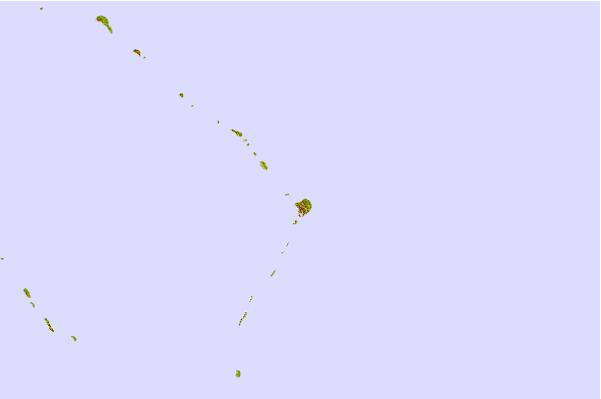

Use this relief map to navigate to tide stations, surf breaks and cities that are in the area of Maloelap Atoll, Marshall Islands.
Other Nearby Locations' tide tables and tide charts to Maloelap Atoll, Marshall Islands:
click location name for more details
 Surf breaks close to Maloelap Atoll, Marshall Islands:
|
||
|---|---|---|
| Closest surf break | Naa | 503 mi |
| Second closest surf break | Sidedish | 615 mi |
| Third closest surf break | Walung | 617 mi |
| Fourth closest surf break | Lavata | 1525 mi |
| Fifth closest surf break | Kundu Kundu | 1525 mi |


 Nearest