
| Distance / Altitude | Location | Report Date / Time | Live Weather | Wind | Gusts | Temp. | Visibility | Cloud |
|---|---|---|---|---|---|---|---|---|
| 85 km SE / 208 m | Holguin Airport (Cuba) | 2026-07-13 20:50 local (2026/07/14 00:50 GMT) | Dry and partly cloudy | light winds from the ENE (17 km/h at 70) | 28°C | 9.0 | no significant cloud | |
| 106 km WSW / 212 m | Camaguey/Ignacio Agramonte Internationa Airport (Cuba) | 2026-07-13 20:50 local (2026/07/14 00:50 GMT) | Dry and partly cloudy | light winds from the ENE (17 km/h at 60) | 27°C | 9.0 | no significant cloud | |
| 187 km SE / 209 m | Santiago De Cuba Airport (Cuba) | 2026-07-13 20:50 local (2026/07/14 00:50 GMT) | - | light winds from the NNW (9 km/h at 340) | — | 0.0 | ||
| 235 km SE / 203 m | Guantanamo Bay Airport (Cuba) | 2026-07-13 20:51 local (2026/07/14 00:51 GMT) | Dry and partly cloudy | light winds from the NNE (13 km/h at 30) | 30°C | 16 | few scattered | |
| 320 km N / 12 m | Over Yonder Cay (Bahamas) | 2026-07-13 21:08 local (2026/07/14 01:08 GMT) | dry | calm (3 km/h at 149) | 28°C | - | - - 0 | |
| 337 km S / 193 m | Sangster/Montego Bay Airport (Jamaica) | 2026-07-13 21:00 local (2026/07/14 01:00 GMT) | - | light winds from the ESE (13 km/h at 110) | 30°C | 10.0 | few | |
| 366 km SE / 3 m | SHIP5259 (Marine) | 2026-07-13 20:00 local (2026/07/14 00:00 GMT) | - (- km/h at -) | 29°C | - | |||
| 366 km SE / 3 m | SHIP794 (Marine) | 2026-07-13 20:00 local (2026/07/14 00:00 GMT) | - (- km/h at -) | 29°C | - | |||
| 366 km SE / 15 m | SHIP2133 (Marine) | 2026-07-13 20:00 local (2026/07/14 00:00 GMT) | - (- km/h at -) | — | - km | |||
| 366 km SE / 3 m | SHIP400 (Marine) | 2026-07-13 20:00 local (2026/07/14 00:00 GMT) | - (- km/h at -) | 29°C | - |
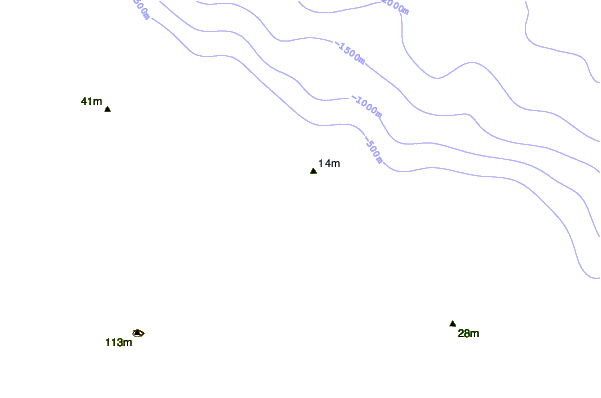
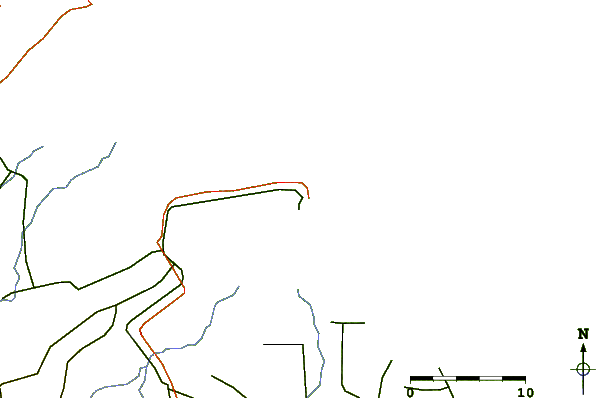
| Contours: | Roads & Rivers: | Select a
tide station / surf break / city |
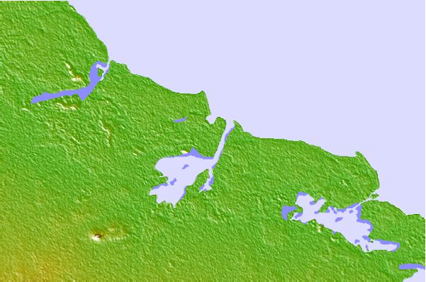
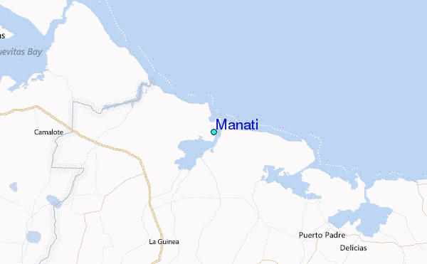
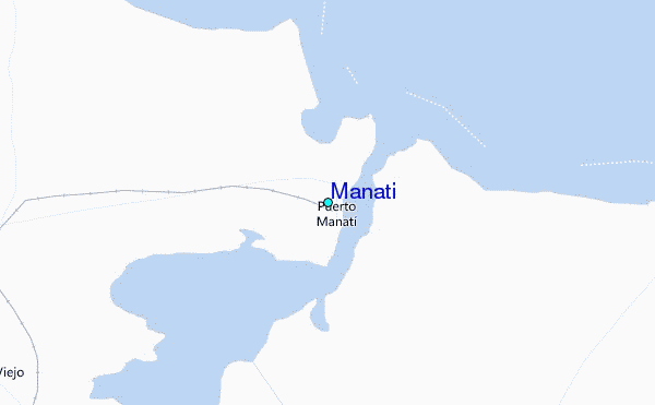
Use this relief map to navigate to tide stations, surf breaks and cities that are in the area of Manati.
Other Nearby Locations' tide tables and tide charts to Manati:
click location name for more details
 Surf breaks close to Manati:
|
||
|---|---|---|
| Closest surf break | Runaway Bay | 203 mi |
| Second closest surf break | Discovery Bay | 204 mi |
| Third closest surf break | Peenie Wally | 218 mi |
| Fourth closest surf break | Navy Island | 221 mi |
| Fifth closest surf break | Winnifred Beach | 223 mi |


 Nearest
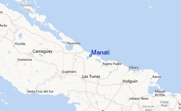