
| Distance / Altitude | Location | Report Date / Time | Live Weather | Wind | Gusts | Temp. | Visibility | Cloud |
|---|---|---|---|---|---|---|---|---|
| 59 km SW / 78 m | Riohacha/Almirante Padilla Airport (Columbia) | 2026-07-09 13:00 local (2026/07/09 18:00 GMT) | - | moderate winds from the ESE.(Wind varies from 080 to 140 degs) (26 km/h at 110) | 34°C | 10.0 | few | |
| 156 km SSE / 384 m | Maracaibo/La Chinita Airport (Venezuela) | 2026-07-09 13:00 local (2026/07/09 18:00 GMT) | Dry and partly cloudy | calm (0 km/h at 110) | 33°C | 10.0 | broken | |
| 174 km S / 95 m | Valledupar/Aeropuerto Alfonso López Pumarejo Airport (Columbia) | 2026-07-09 13:00 local (2026/07/09 18:00 GMT) | Dry and partly cloudy | light winds from the S.(Wind varies from 120 to 220 degs) (11 km/h at 170) | 36°C | 10.0 | broken | |
| 205 km SW / 4 m | Gaira wx (Colombia) | 2026-07-09 14:44 local (2026/07/09 19:44 GMT) | dry | calm (3 km/h at 4) | 32°C | - | - - 0 | |
| 206 km SW / 96 m | Santa Marta/Simón Bolívar International Airport (Columbia) | 2026-07-09 13:00 local (2026/07/09 18:00 GMT) | Dry and partly cloudy | light winds from the SW.(Wind varies from 190 to 250 degs) (7 km/h at 230) | 31°C | 10.0 | few scattered | |
| 251 km E / 394 m | Paraguana/Josefa Camejo International Airport (Venezuela) | 2026-07-09 13:00 local (2026/07/09 18:00 GMT) | Dry and partly cloudy | moderate winds from the E (22 km/h at 90) | — | 10.0 | broken | |
| 271 km SW / 206 m | Barranquilla/Ernesto Cortissoz International Airport (Columbia) | 2026-07-09 13:00 local (2026/07/09 18:00 GMT) | - | light winds from the S (19 km/h at 180) | — | 0.0 | ||
| 278 km ENE / 169 m | Queen Beatrix Airport (Lesser Antilles) | 2026-07-09 13:00 local (2026/07/09 18:00 GMT) | - | strong winds from the ESE.(Wind varies from 080 to 140 degs) (43 km/h at 110) | 32°C | 10.0 | few | |
| 306 km E / 384 m | Coro/Jose-Leonardo Chirinos Airport (Venezuela) | 2026-07-09 13:00 local (2026/07/09 18:00 GMT) | - | wind obs. (0 kph from 0 degs) was rejected (- km/h at -) | 34°C | 10.0 | few | |
| 366 km SW / 6 m | Rafael Nuñez wx (Colombia) | 2026-07-09 14:38 local (2026/07/09 19:38 GMT) | - | moderate winds from the NE (24 km/h at 35) | 28°C | - | - - 0 |
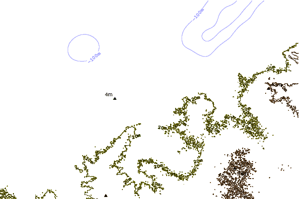
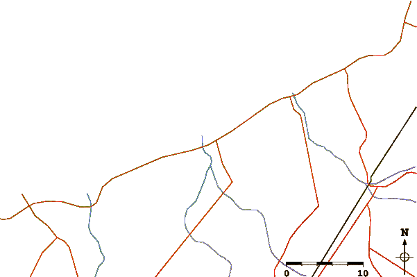
| Contours: | Roads & Rivers: | Select a
tide station / surf break / city |
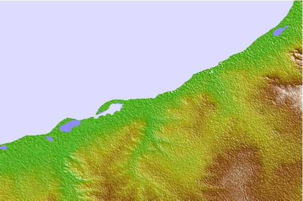
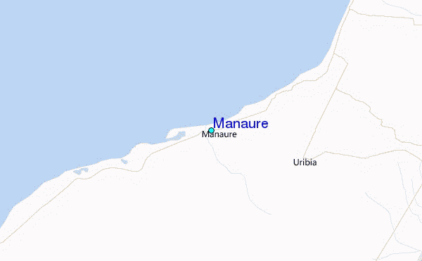
Use this relief map to navigate to tide stations, surf breaks and cities that are in the area of Manaure.
Other Nearby Locations' tide tables and tide charts to Manaure:
click location name for more details
 Surf breaks close to Manaure:
|
||
|---|---|---|
| Closest surf break | Cabo de la Vela | 35 mi |
| Second closest surf break | Playa Kasimesh | 39 mi |
| Third closest surf break | Punta Gallina | 69 mi |
| Fourth closest surf break | Dunas de Taroa | 75 mi |
| Fifth closest surf break | Palomino | 83 mi |


 Nearest
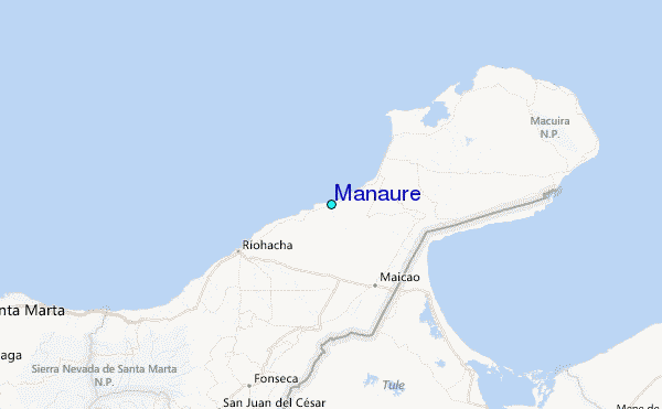