
| Distance / Altitude | Location | Report Date / Time | Live Weather | Wind | Gusts | Temp. | Visibility | Cloud |
|---|---|---|---|---|---|---|---|---|
| 14 km NNE / 103 m | Mangalore International Airport (Bajpe) (India) | 2026-06-25 00:00 local (2026/06/24 18:30 GMT) | Dry and partly cloudy | light winds from the S (6 km/h at 180) | — | 6.0 | few scattered few | |
| 129 km SE / 76 m | Kannur International Airport (India) | 2026-06-25 00:00 local (2026/06/24 18:30 GMT) | Mist - | light winds from the SSW (6 km/h at 200) | 25°C | 5.0 | scattered scattered | |
| 226 km SSE / 104 m | Calicut Airport (India) | 2026-06-25 00:00 local (2026/06/24 18:30 GMT) | Dry and partly cloudy | light winds from the SSW (6 km/h at 200) | 25°C | 6.0 | few broken | |
| 299 km NW / 52 m | Dabolim Airport - Goa (India) | 2026-06-25 00:00 local (2026/06/24 18:30 GMT) | Shower - in the vicinity | light winds from the W (13 km/h at 260) | 28°C | 5.0 | few scattered broken | |
| 304 km E / 897 m | Bangalore Airport (India) | 2026-06-25 00:00 local (2026/06/24 18:30 GMT) | Dry and partly cloudy | light winds from the WSW (15 km/h at 240) | 23°C | 6.0 | few - - | |
| 313 km E / 915 m | Bengaluru Airport (India) | 2026-06-25 00:00 local (2026/06/24 18:30 GMT) | Dry and partly cloudy | moderate winds from the W (22 km/h at 260) | 22°C | 6.0 | scattered | |
| 314 km SE / 399 m | Coimbatore International Airport-Peelamedu (India) | 2026-06-25 00:00 local (2026/06/24 18:30 GMT) | Mist - | moderate winds from the SW (22 km/h at 220) | 25°C | 5.0 | few broken broken | |
| 319 km E / 920 m | Balagiri (India) | 2026-06-25 00:30 local (2026/06/24 19:00 GMT) | - | fresh winds from the WSW (33 km/h at 258) | 21°C | - | - - 0 | |
| 344 km SSE / 8 m | Cochin International (India) | 2026-06-25 00:00 local (2026/06/24 18:30 GMT) | Mist - | light winds from the E (6 km/h at 90) | 26°C | 2.5 | few scattered broken | |
| 482 km ESE / 340 m | Tiruchchirapalli Airport (India) | 2026-06-25 00:00 local (2026/06/24 18:30 GMT) | Haze - | light winds from the W (7 km/h at 260) | 29°C | 5.0 | few scattered |
| Contours: | Roads & Rivers: | Select a
tide station / surf break / city |
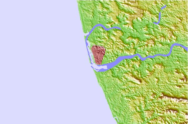
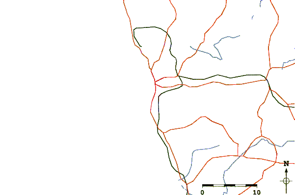
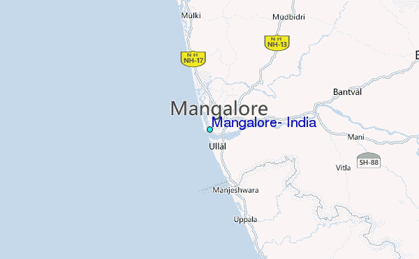
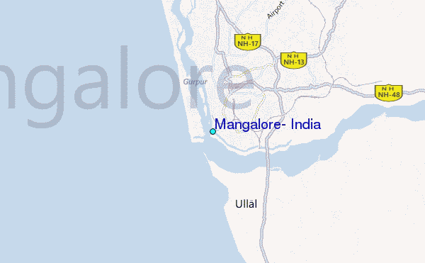
Use this relief map to navigate to tide stations, surf breaks and cities that are in the area of Mangalore, India.
Other Nearby Locations' tide tables and tide charts to Mangalore, India:
click location name for more details
 Surf breaks close to Mangalore, India:
|
||
|---|---|---|
| Closest surf break | Kaup Beach | 27 mi |
| Second closest surf break | Maravanthe Beach | 61 mi |
| Third closest surf break | Murudeshwara Beach | 89 mi |
| Fourth closest surf break | Om Beach (Gokarna) | 121 mi |
| Fifth closest surf break | Kudle -Beach (Gokarna) | 121 mi |


 Nearest
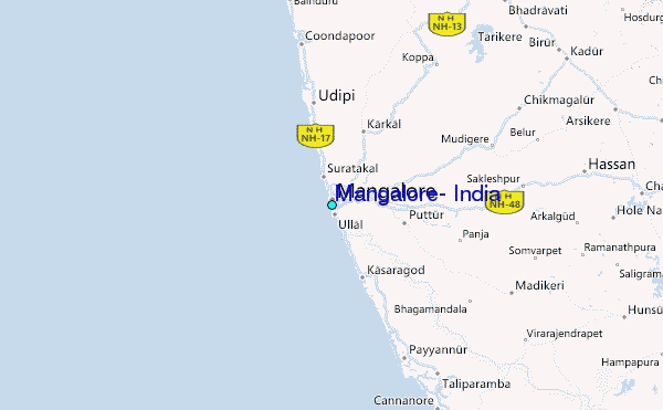