
| Distance / Altitude | Location | Report Date / Time | Live Weather | Wind | Gusts | Temp. | Visibility | Cloud |
|---|---|---|---|---|---|---|---|---|
| 327 km NNE / 77 m | Pontianak/Supadio Airport (Indonesia) | 2026-07-10 01:30 local (2026/07/09 18:30 GMT) | Dry and partly cloudy | light winds from the S (11 km/h at 170) | 25°C | 10.0 | scattered | |
| 397 km WSW / 353 m | Palembang/Sultan Mahmud Badaruddin II Airport (Indonesia) | 2026-07-10 01:30 local (2026/07/09 18:30 GMT) | Dry and partly cloudy | light winds from the ESE (9 km/h at 120) | 24°C | 10.0 | broken | |
| 400 km S / 176 m | Soekarno-Hatta International Airport (Indonesia) | 2026-07-10 01:30 local (2026/07/09 18:30 GMT) | Haze - | light winds from the ESE (9 km/h at 120) | 26°C | 7.0 | few few - | |
| 403 km S / 25 m | Halim Perdanakus Airport (Indonesia) | 2026-07-10 01:00 local (2026/07/09 18:00 GMT) | - | wind obs. (6 kph from 250 degs) was rejected (- km/h at -) | 24°C | 7.0 | few | |
| 422 km S / 64 m | Mampang-agung wx (Indonesia) | 2026-07-10 02:41 local (2026/07/09 19:41 GMT) | - | calm (0 km/h at 0) | — | - | - - 0 | |
| 449 km S / 820 m | Kalidam wx (Indonesia) | 2026-07-10 02:10 local (2026/07/09 19:10 GMT) | - | calm (0 km/h at 0) | — | - | - - 0 | |
| 451 km S / 796 m | Srigunting wx (Indonesia) | 2026-07-10 01:46 local (2026/07/09 18:46 GMT) | - | light winds from the SE (14 km/h at 127) | 25°C | - | - - 0 | |
| 475 km S / 481 m | Genteng wx (Indonesia) | 2026-07-10 02:34 local (2026/07/09 19:34 GMT) | - | calm (0 km/h at 0) | — | - | - - 0 | |
| 511 km SSE / 2039 m | Dieng Kulon wx (Indonesia) | 2026-07-10 02:22 local (2026/07/09 19:22 GMT) | - | wind obs. (32 kph from 92 degs) was rejected (- km/h at -) | — | - | - - 0 | |
| 511 km SSE / 5 m | Ahmad Yani International Airport (Indonesia) | 2026-07-10 01:30 local (2026/07/09 18:30 GMT) | Dry and partly cloudy | light winds from the ESE.(Wind varies from 090 to 150 degs) (7 km/h at 120) | 25°C | 8.0 | no cloud |
| Contours: | Roads & Rivers: | Select a
tide station / surf break / city |
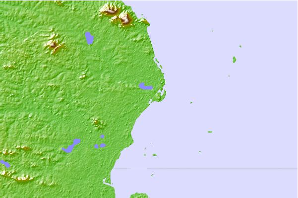
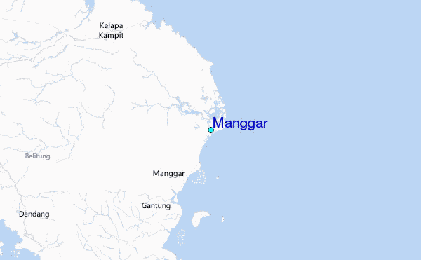
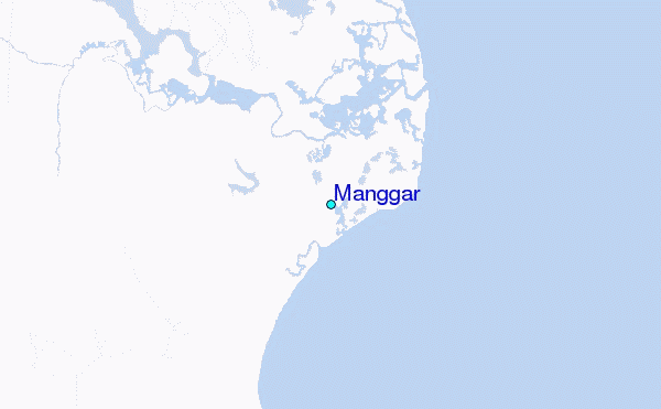
Use this relief map to navigate to tide stations, surf breaks and cities that are in the area of Manggar.
Other Nearby Locations' tide tables and tide charts to Manggar:
click location name for more details
 Surf breaks close to Manggar:
|
||
|---|---|---|
| Closest surf break | Cimaja | 308 mi |
| Second closest surf break | Indicators point | 308 mi |
| Third closest surf break | Samudra | 308 mi |
| Fourth closest surf break | Karang Haji - Ocean Queen Hotel | 308 mi |
| Fifth closest surf break | Loji | 310 mi |


 Nearest
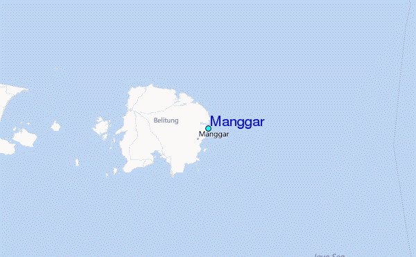