
| Distance / Altitude | Location | Report Date / Time | Live Weather | Wind | Gusts | Temp. | Visibility | Cloud |
|---|---|---|---|---|---|---|---|---|
| 6 km W / 3 m | BUOY-KPTN6 (Marine) | 2026-06-23 22:48 local (2026/06/24 02:48 GMT) | calm (4 km/h at 160) | — | - | |||
| 16 km WSW / 218 m | New York City La Guardia Airport (New York) | 2026-06-23 21:51 local (2026/06/24 01:51 GMT) | - | light winds from the NW (9 km/h at 310) | 21°C | 16 | few few scattered | |
| 18 km SW / 33 m | Middle Village (New York) | 2026-06-23 22:23 local (2026/06/24 02:23 GMT) | dry | calm (0 km/h at 0) | 18°C | - | - - 0 | |
| 19 km S / 218 m | New York City/JFK Airport (New York) | 2026-06-23 21:51 local (2026/06/24 01:51 GMT) | Dry and partly cloudy | light winds from the NNW (9 km/h at 340) | 21°C | 16 | broken broken | |
| 22 km ESE / 22 m | Farmingdale (New York) | 2026-06-23 22:34 local (2026/06/24 02:34 GMT) | dry | calm (0 km/h at 111) | 24°C | - | - - 0 | |
| 23 km WSW / 219 m | New Your City/Central Park Airport (New York) | 2026-06-23 21:51 local (2026/06/24 01:51 GMT) | Clear | light winds from the WNW (6 km/h at 290) | 19°C | 16 | ||
| 25 km ESE / 218 m | Farmingdale Airport (New York) | 2026-06-23 21:53 local (2026/06/24 01:53 GMT) | Mist - | light winds from the NW (7 km/h at 320) | 19°C | 10 | broken | |
| 28 km SW / 3 m | BUOY-BATN6 (Marine) | 2026-06-23 22:30 local (2026/06/24 02:30 GMT) | - (- km/h at -) | 20°C | - | |||
| 29 km SW / 7 m | Downtown Manhattan/Wall Street Heliport Airport (New york) | 2026-06-23 21:56 local (2026/06/24 01:56 GMT) | Clear | calm (0 km/h at 0) | 21°C | 16 | ||
| 30 km N / 218 m | White Plains Airport (New York) | 2026-06-23 21:56 local (2026/06/24 01:56 GMT) | - | light winds from the NW (11 km/h at 320) | 18°C | 16 | few |
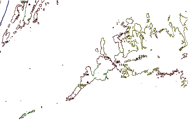
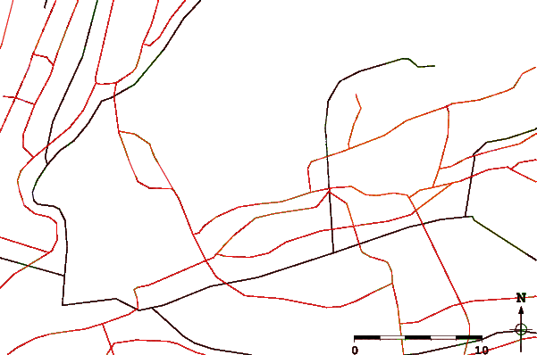
| Contours: | Roads & Rivers: | Select a
tide station / surf break / city |

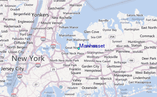
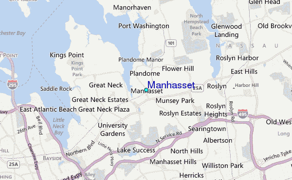
Use this relief map to navigate to tide stations, surf breaks and cities that are in the area of Manhasset.
Other Nearby Locations' tide tables and tide charts to Manhasset:
click location name for more details
 Surf breaks close to Manhasset:
|
||
|---|---|---|
| Closest surf break | Connecticut Street Jetty | 15 mi |
| Second closest surf break | Grand Blvd | 15 mi |
| Third closest surf break | Jones Beach | 15 mi |
| Fourth closest surf break | Lido West | 15 mi |
| Fifth closest surf break | Lincoln (Long Beach) | 15 mi |


 Nearest
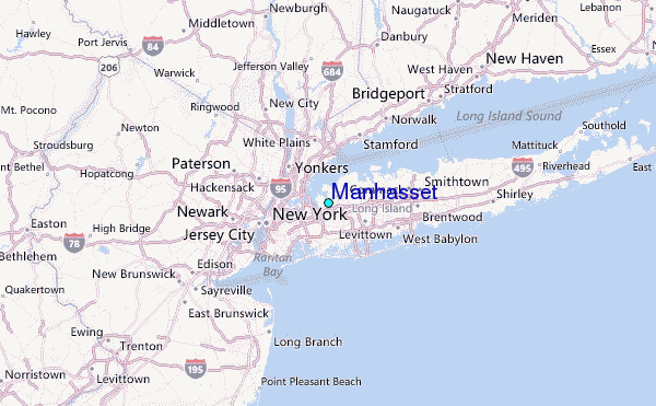