
| Distance / Altitude | Location | Report Date / Time | Live Weather | Wind | Gusts | Temp. | Visibility | Cloud |
|---|---|---|---|---|---|---|---|---|
| 17 km W / 52 m | Dabolim Airport - Goa (India) | 2026-07-10 02:00 local (2026/07/09 20:30 GMT) | Mist - | light winds from the WNW (13 km/h at 290) | 28°C | 4.8 | few scattered | |
| 277 km SSE / 103 m | Mangalore International Airport (Bajpe) (India) | 2026-07-10 01:00 local (2026/07/09 19:30 GMT) | Dry and partly cloudy | light winds from the WSW (6 km/h at 250) | 26°C | 6.0 | few scattered broken | |
| 325 km NW / 3 m | SHIP4900 (Marine) | 2026-07-09 23:30 local (2026/07/09 18:00 GMT) | fresh winds from the SW (32 km/h at 230) | 28°C | 20.4 | |||
| 412 km SSE / 76 m | Kannur International Airport (India) | 2026-07-10 01:00 local (2026/07/09 19:30 GMT) | Light rain | calm (4 km/h at 1) | — | 2.5 | few scattered | |
| 443 km NW / 195 m | Bombay/Santacruz Airport (India) | 2026-07-10 01:00 local (2026/07/09 19:30 GMT) | Mist - | light winds from the SW (17 km/h at 230) | 29°C | 3.0 | scattered scattered broken | |
| 324 km NW / 15 m | SHIP4250 (Marine) | 2026-07-09 23:30 local (2026/07/09 18:00 GMT) | fresh winds from the SW (32.4 km/h at 230) | 29°C | 17.7 km | |||
| 324 km NW / 3 m | SHIP5699 (Marine) | 2026-07-09 23:30 local (2026/07/09 18:00 GMT) | fresh winds from the SW (32 km/h at 230) | 28°C | 20.4 | |||
| 324 km NW / 3 m | SHIP338 (Marine) | 2026-07-09 23:30 local (2026/07/09 18:00 GMT) | fresh winds from the SW (32 km/h at 230) | 28°C | 20.4 | |||
| 324 km NW / 3 m | SHIP1239 (Marine) | 2026-07-09 23:30 local (2026/07/09 18:00 GMT) | fresh winds from the SW (32 km/h at 230) | 28°C | 20.4 | |||
| 411 km SSE / 76 m | Kannur International Airport (India) | 2026-07-10 01:00 local (2026/07/09 19:30 GMT) | Light rain | calm (4 km/h at 1) | — | 2.5 | few scattered |
| Contours: | Roads & Rivers: | Select a
tide station / surf break / city |
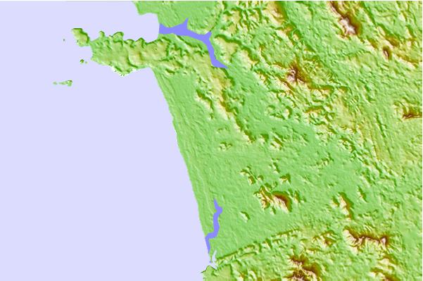
Use this relief map to navigate to tide stations, surf breaks and cities that are in the area of Margao.
Other Nearby Locations' tide tables and tide charts to Margao:
click location name for more details
 Surf breaks close to Margao:
|
||
|---|---|---|
| Closest surf break | Benaulim Beach | 2 mi |
| Second closest surf break | Betalbatim Beach Taj | 3 mi |
| Third closest surf break | Agonda | 17 mi |
| Fourth closest surf break | Morjim Beach | 28 mi |
| Fifth closest surf break | Arambol | 32 mi |


 Nearest