
| Distance / Altitude | Location | Report Date / Time | Live Weather | Wind | Gusts | Temp. | Visibility | Cloud |
|---|---|---|---|---|---|---|---|---|
| 15 km WNW / 506 m | Paddock (South Africa) | 2026-07-09 20:00 local (2026/07/09 18:00 GMT) | no report | wind obs. (6 kph from 340 degs) was rejected (- km/h at -) | 18°C | - | - | |
| 59 km NNE / 15 m | Pennington South (South Africa) | 2026-07-09 20:00 local (2026/07/09 18:00 GMT) | no report | wind obs. (6 kph from 150 degs) was rejected (- km/h at -) | 21°C | - | - - - | |
| 75 km SSE / 15 m | ASCATB31E32S (Marine) | 2026-07-09 20:42 local (2026/07/09 18:42 GMT) | moderate winds from the SSW (27 km/h at 196) | — | - km | |||
| 75 km S / 15 m | ASCATB30E32S (Marine) | 2026-07-09 20:42 local (2026/07/09 18:42 GMT) | moderate winds from the SSW (28 km/h at 195) | — | - km | |||
| 89 km N / 527 m | Port Edward (South Africa) | 2026-07-09 20:00 local (2026/07/09 18:00 GMT) | no report | calm (4 km/h at 130) | 21°C | - | - | |
| 95 km ENE / 15 m | ASCATB31E31S (Marine) | 2026-07-09 20:42 local (2026/07/09 18:42 GMT) | moderate winds from the S (26 km/h at 176) | — | - km | |||
| 98 km NW / 1219 m | Ixopo (S. Africa) | 2026-07-09 20:00 local (2026/07/09 18:00 GMT) | no report | - (- km/h at -) | 14°C | - | - | |
| 101 km W / 1443 m | Kokstad (South Africa) | 2026-07-09 20:00 local (2026/07/09 18:00 GMT) | no report | wind obs. (6 kph from 150 degs) was rejected (- km/h at -) | 15°C | - | - | |
| 107 km NNE / 14 m | Durban Intnl. Airport (South Africa) | 2026-07-09 20:00 local (2026/07/09 18:00 GMT) | no report | light winds from the SW (7 km/h at 230) | 20°C | - | - - - | |
| 111 km S / 98 m | Margate (S. Africa) | 2026-07-09 20:00 local (2026/07/09 18:00 GMT) | no report | wind obs. (4 kph from 190 degs) was rejected (- km/h at -) | 19°C | - | - |
| Contours: | Roads & Rivers: | Select a
tide station / surf break / city |
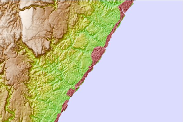
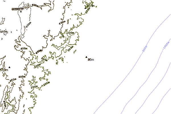
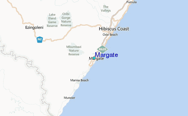
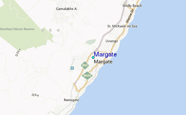
Use this relief map to navigate to tide stations, surf breaks and cities that are in the area of Margate.
Other Nearby Locations' tide tables and tide charts to Margate:
click location name for more details
 Surf breaks close to Margate:
|
||
|---|---|---|
| Closest surf break | Margate | 1 mi |
| Second closest surf break | Southbroom | 6 mi |
| Third closest surf break | To Strand | 12 mi |
| Fourth closest surf break | Trafalgar | 15 mi |
| Fifth closest surf break | Lucien | 17 mi |


 Nearest
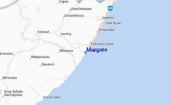