
| Distance / Altitude | Location | Report Date / Time | Live Weather | Wind | Gusts | Temp. | Visibility | Cloud |
|---|---|---|---|---|---|---|---|---|
| 3 km W / 219 m | Fredericksburg/Shannon Airport (Virginia) | 2026-06-25 13:35 local (2026/06/25 17:35 GMT) | Dry and partly cloudy | moderate winds from the S (20 km/h at 190) | 30°C | 16 | scattered scattered | |
| 17 km N / 217 m | Stafford Regional Airport (Virginia) | 2026-06-25 13:35 local (2026/06/25 17:35 GMT) | Clear | light winds from the S (9 km/h at 180) | 30°C | 16 | ||
| 30 km NNE / 219 m | Quantico Marine Corps Air Facility Airport (Virginia) | 2026-06-25 13:56 local (2026/06/25 17:56 GMT) | Dry and partly cloudy | moderate winds from the SSE (20 km/h at 160) | 28°C | 11 | scattered | |
| 34 km ENE / 3 m | BUOY-NCDV2 (Marine) | 2026-06-25 14:00 local (2026/06/25 18:00 GMT) | moderate winds from the ESE (21 km/h at 120) | 26°C | - | |||
| 38 km WSW / 133 m | Locust Grove (Virginia) | 2026-06-25 14:07 local (2026/06/25 18:07 GMT) | dry | wind obs. (10 kph from 169 degs) was rejected (- km/h at -) | 31°C | - | - - 0 | |
| 43 km SSW / 107 m | Bumpass Airport (Virginia) (Virginia) | 2026-06-25 13:35 local (2026/06/25 17:35 GMT) | Clear | light winds from the SW (13 km/h at 220) | 29°C | 16 | ||
| 45 km WNW / 103 m | Warrenton Airport (Virginia) | 2026-06-25 13:35 local (2026/06/25 17:35 GMT) | Clear | light winds from the SW (7 km/h at 230) | 30°C | 16 | ||
| 47 km WNW / 90 m | Remington (Virginia) | 2026-06-25 13:23 local (2026/06/25 17:23 GMT) | dry | light winds from the WSW (8 km/h at 238) | 29°C | - | - - 0 | |
| 47 km SW / 94 m | Orange (Virginia) | 2026-06-25 14:37 local (2026/06/25 18:37 GMT) | dry | calm (5 km/h at 231) | 31°C | - | - - 0 | |
| 53 km N / 206 m | Manassas Municipal Airport (Virginia) | 2026-06-25 12:56 local (2026/06/25 16:56 GMT) | Clear | light winds from the SSW (11 km/h at 200) | 28°C | 16 |
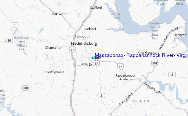
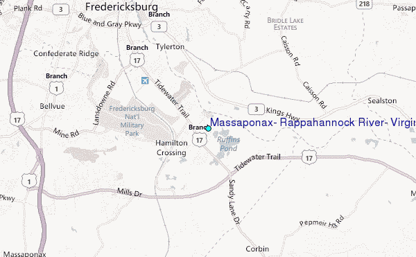
Choose Massaponax, Rappahannock River, Virginia Location Map Zoom:
| Contours: | Roads & Rivers: | Select a
tide station / surf break / city |
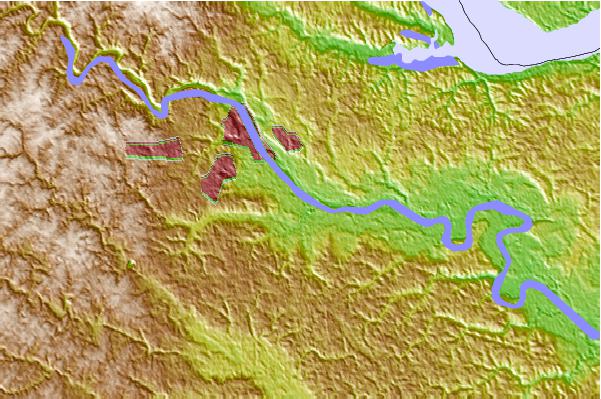
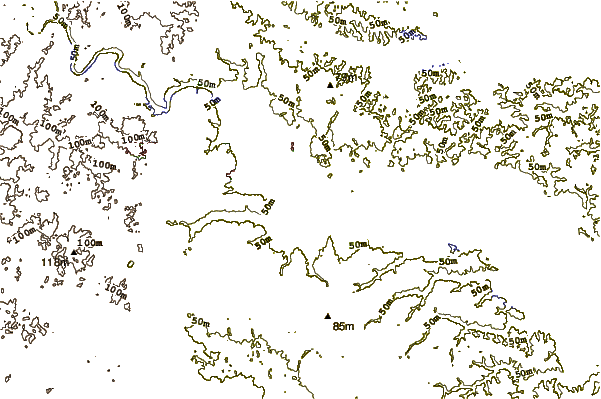
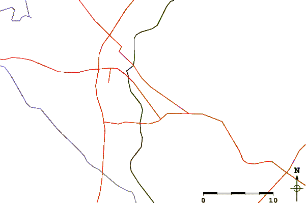
Use this relief map to navigate to tide stations, surf breaks and cities that are in the area of Massaponax, Rappahannock River, Virginia.
Other Nearby Locations' tide tables and tide charts to Massaponax, Rappahannock River, Virginia:
click location name for more details
 Surf breaks close to Massaponax, Rappahannock River, Virginia:
|
||
|---|---|---|
| Closest surf break | Grandview | 102 mi |
| Second closest surf break | Fishermans Island | 114 mi |
| Third closest surf break | Out Front | 116 mi |
| Fourth closest surf break | Chincoteague | 116 mi |
| Fifth closest surf break | North End | 120 mi |


 Nearest
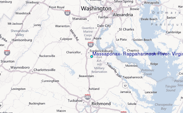