
| Distance / Altitude | Location | Report Date / Time | Live Weather | Wind | Gusts | Temp. | Visibility | Cloud |
|---|---|---|---|---|---|---|---|---|
| 8 km N / 3 m | Fort Myers (Florida) | 2026-05-30 03:19 local (2026/05/30 07:19 GMT) | dry | calm (2 km/h at 0) | 27°C | - | - - 0 | |
| 13 km NW / 4 m | Cape Coral (Florida) | 2026-05-30 03:30 local (2026/05/30 07:30 GMT) | dry | calm (0 km/h at 11) | 27°C | - | - - 0 | |
| 14 km NE / 3 m | Fort Myers (Florida) | 2026-05-30 03:01 local (2026/05/30 07:01 GMT) | dry | calm (0 km/h at 244) | 26°C | - | - - 0 | |
| 17 km NNE / 218 m | Fort Myers Airport (Florida) | 2026-05-30 01:53 local (2026/05/30 05:53 GMT) | Clear | calm (0 km/h at 0) | 27°C | 16 | ||
| 20 km ENE / 218 m | Fort Myers Airport (Florida) | 2026-05-30 01:53 local (2026/05/30 05:53 GMT) | Clear | light winds from the ENE (6 km/h at 70) | 26°C | 16 | ||
| 24 km NNE / 3 m | BUOY-FMRF1 (Marine) | 2026-05-30 03:18 local (2026/05/30 07:18 GMT) | calm (4 km/h at 110) | — | - | |||
| 35 km NNE / 5 m | Slater wx (United States) | 2026-05-30 02:23 local (2026/05/30 06:23 GMT) | dry | calm (0 km/h at 172) | 24°C | - | - - 0 | |
| 37 km ENE / 6 m | Lehigh Acres wx (United States) | 2026-05-30 03:31 local (2026/05/30 07:31 GMT) | dry | calm (0 km/h at 153) | 24°C | - | - - 0 | |
| 39 km NW / 4 m | Punta Gorda (Florida) | 2026-05-30 03:25 local (2026/05/30 07:25 GMT) | dry | calm (0 km/h at 0) | 24°C | - | - - 0 | |
| 40 km SSE / 217 m | Naples Municipal Airport (Florida) | 2026-05-30 01:53 local (2026/05/30 05:53 GMT) | Clear | light winds from the SE (6 km/h at 130) | 27°C | 16 |
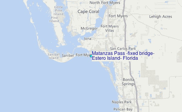
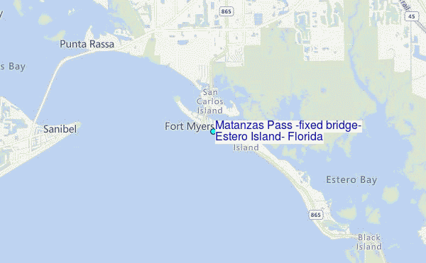
Choose Matanzas Pass (fixed bridge) Estero Island, Florida Location Map Zoom:
| Contours: | Roads & Rivers: | Select a
tide station / surf break / city |
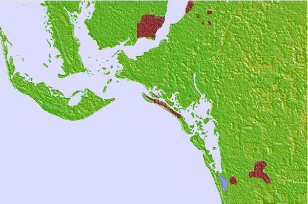

Use this relief map to navigate to tide stations, surf breaks and cities that are in the area of Matanzas Pass (fixed bridge) Estero Island, Florida.
Other Nearby Locations' tide tables and tide charts to Matanzas Pass (fixed bridge) Estero Island, Florida:
click location name for more details
 Surf breaks close to Matanzas Pass (fixed bridge) Estero Island, Florida:
|
||
|---|---|---|
| Closest surf break | Wiggins Pass | 14 mi |
| Second closest surf break | Naples Pier | 28 mi |
| Third closest surf break | Venice North and South Jetty | 52 mi |
| Fourth closest surf break | Point o Rocks | 66 mi |
| Fifth closest surf break | Turtle Beach | 75 mi |


 Nearest
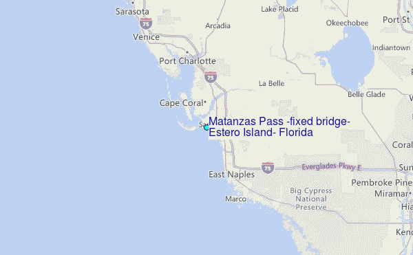