
| Distance / Altitude | Location | Report Date / Time | Live Weather | Wind | Gusts | Temp. | Visibility | Cloud |
|---|---|---|---|---|---|---|---|---|
| 56 km SW / 35 m | Masbate (Philippines) | 2026-07-10 02:00 local (2026/07/09 18:00 GMT) | state of sky unchanged | wind obs. (7 kph from 110 degs) was rejected (- km/h at -) | 30°C | 20 | - | |
| 57 km SW / 210 m | Macatan Airport (Philippines) | 2026-07-10 02:00 local (2026/07/09 18:00 GMT) | intermittent light rain | light winds from the WSW (14 km/h at 240) | 28°C | 9 | few - - | |
| 73 km NW / 15 m | Legaspi (Philippines) | 2026-07-10 02:00 local (2026/07/09 18:00 GMT) | state of sky unchanged | - (- km/h at -) | 28°C | 18 | - | |
| 111 km N / 40 m | Virac (Philippines) | 2026-07-10 02:00 local (2026/07/09 18:00 GMT) | no report | calm (4 km/h at 160) | 28°C | 14 | - - - | |
| 124 km SE / 96 m | Catbalogan-Samar (Philippines) | 2026-07-10 02:00 local (2026/07/09 18:00 GMT) | state of sky unchanged | calm (4 km/h at 140) | 29°C | 22 | - - - | |
| 179 km SE / 95 m | Borongan (Philippines) | 2026-07-10 02:00 local (2026/07/09 18:00 GMT) | haze | calm (4 km/h at 40) | 29°C | 18 | - | |
| 183 km SSW / 2 m | Roxas (Philippines) | 2026-07-10 02:00 local (2026/07/09 18:00 GMT) | light rain showers | light winds from the S (11 km/h at 180) | 28°C | 9 | - | |
| 188 km WSW / 47 m | Romblon (Philippines) | 2026-07-10 02:00 local (2026/07/09 18:00 GMT) | haze | - (- km/h at -) | 28°C | 20 | - | |
| 207 km WNW / 4 m | Daet (Philippines) | 2026-07-10 02:00 local (2026/07/09 18:00 GMT) | distant precipitation but not falling at station | calm (4 km/h at 180) | 30°C | 12 | - | |
| 213 km SW / 6 m | Kalibo/panay Isl (Philippines) | 2026-07-10 02:00 local (2026/07/09 18:00 GMT) | Light rain | moderate winds from the WSW (20 km/h at 250) | 27°C | 10.0 | few scattered overcast |
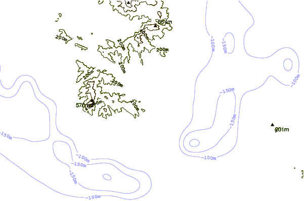
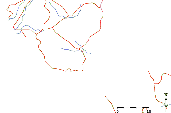
| Contours: | Roads & Rivers: | Select a
tide station / surf break / city |
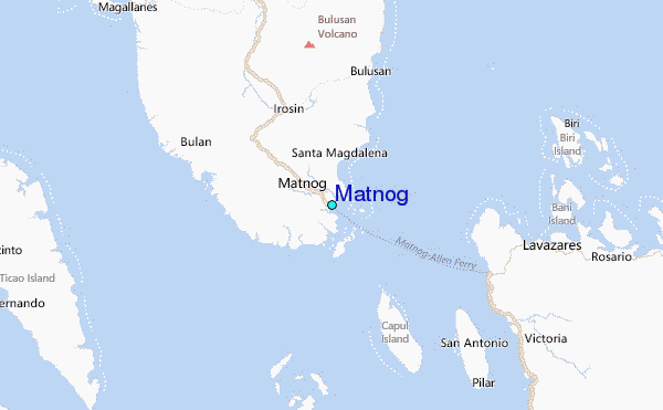
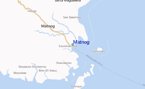
Use this relief map to navigate to tide stations, surf breaks and cities that are in the area of Matnog.
Other Nearby Locations' tide tables and tide charts to Matnog:
click location name for more details
 Surf breaks close to Matnog:
|
||
|---|---|---|
| Closest surf break | Virac Harbour | 68 mi |
| Second closest surf break | Moning | 75 mi |
| Third closest surf break | Lucky Point | 78 mi |
| Fourth closest surf break | Majestics | 79 mi |
| Fifth closest surf break | Point B | 79 mi |


 Nearest
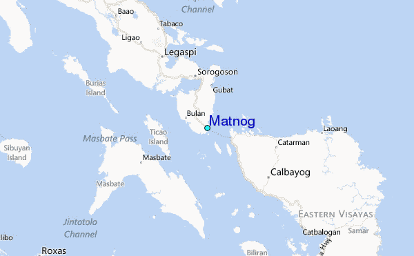