
| Distance / Altitude | Location | Report Date / Time | Live Weather | Wind | Gusts | Temp. | Visibility | Cloud |
|---|---|---|---|---|---|---|---|---|
| 4 km N / 5 m | Matuku (Fiji) | 2026-07-10 06:00 local (2026/07/09 18:00 GMT) | no report | wind obs. (15 kph from 160 degs) was rejected (- km/h at -) | 25°C | - | - | |
| 176 km WNW / 106 m | Nausori International Airport (Fiji/tonga/tuvalu) | 2026-07-10 06:00 local (2026/07/09 18:00 GMT) | Dry and partly cloudy | light winds from the W (7 km/h at 280) | 15°C | 10.0 | few scattered | |
| 176 km WNW / 106 m | Nausori International Airport (Fiji/tonga/tuvalu) | 2026-07-10 07:00 local (2026/07/09 19:00 GMT) | - | light winds from the WNW (7 km/h at 300) | 15°C | 10.0 | few | |
| 176 km WNW / 7 m | Nausori (Fiji) | 2026-07-10 06:00 local (2026/07/09 18:00 GMT) | - | wind obs. (11 kph from 130 degs) was rejected (- km/h at -) | — | 50 | - - - | |
| 185 km NE / 3 m | Lakemba Island (Fiji) | 2026-07-10 06:00 local (2026/07/09 18:00 GMT) | no report | wind obs. (7 kph from 160 degs) was rejected (- km/h at -) | 26°C | - | - - - | |
| 231 km SE / 28 m | Ono -I -Lau (Fiji) | 2026-07-10 06:00 local (2026/07/09 18:00 GMT) | no report | wind obs. (15 kph from 330 degs) was rejected (- km/h at -) | 24°C | - | - | |
| 254 km NNE / 52 m | Vanua Balavu (Fiji) | 2026-07-10 06:00 local (2026/07/09 18:00 GMT) | no report | light winds from the SSE (15 km/h at 160) | 25°C | - | - - - | |
| 256 km W / 6 m | Sigatoka (Fiji) | 2026-07-10 07:01 local (2026/07/09 19:01 GMT) | dry | calm (0 km/h at ) | — | - | - - 0 | |
| 264 km N / 13 m | Savusavu Airport (Fiji/tonga/tuvalu) | 2026-07-10 08:00 local (2026/07/09 20:00 GMT) | - | calm (0 km/h at 0) | 21°C | 10.0 | few | |
| 271 km W / 8 m | Sigatoka (Fiji) | 2026-07-10 06:00 local (2026/07/09 18:00 GMT) | no report | wind obs. (7 kph from 140 degs) was rejected (- km/h at -) | 26°C | - | - |
| Contours: | Roads & Rivers: | Select a
tide station / surf break / city |
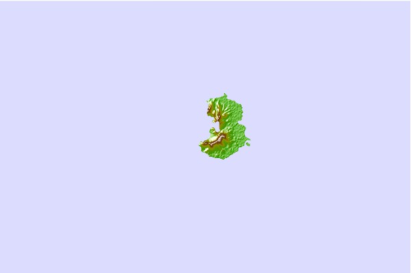
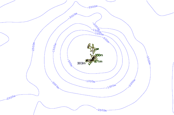
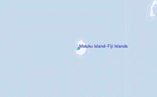
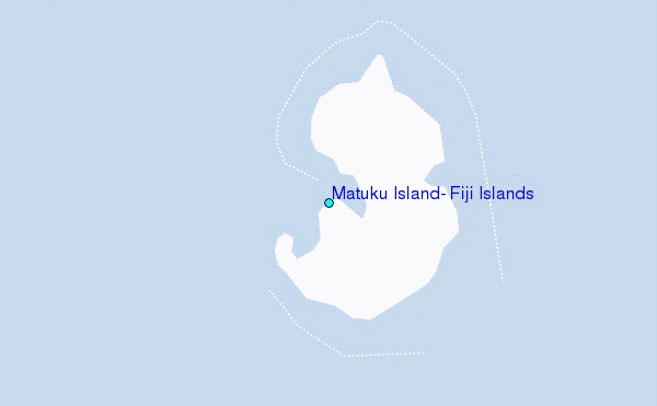
Use this relief map to navigate to tide stations, surf breaks and cities that are in the area of Matuku Island, Fiji Islands.
Other Nearby Locations' tide tables and tide charts to Matuku Island, Fiji Islands:
click location name for more details
 Surf breaks close to Matuku Island, Fiji Islands:
|
||
|---|---|---|
| Closest surf break | Typhoon Alley | 83 mi |
| Second closest surf break | Vesi Passage | 85 mi |
| Third closest surf break | Lighthouse | 110 mi |
| Fourth closest surf break | Daku | 114 mi |
| Fifth closest surf break | King Kong Right | 116 mi |


 Nearest
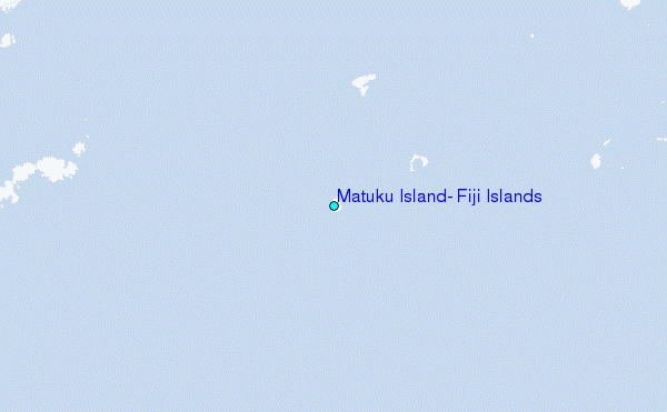