
| Distance / Altitude | Location | Report Date / Time | Live Weather | Wind | Gusts | Temp. | Visibility | Cloud |
|---|---|---|---|---|---|---|---|---|
| 25 km NE / 3 m | BUOY-ACYN4 (Marine) | 2026-08-03 11:30 local (2026/08/03 15:30 GMT) | - (- km/h at -) | 24°C | - | |||
| 29 km NNE / 217 m | Atlantic City Airport (New Jersey) | 2026-08-03 11:03 local (2026/08/03 15:03 GMT) | Light rain | light winds from the S (15 km/h at 190) | 24°C | 16 | few scattered broken | |
| 32 km SSW / 396 m | Wildwood Airport (New Jersey) | 2026-08-03 11:05 local (2026/08/03 15:05 GMT) | Dry and cloudy | light winds from the S (15 km/h at 180) | 25°C | 16 | scattered overcast | |
| 38 km SSW / 3 m | BUOY-CMAN4 (Marine) | 2026-08-03 11:30 local (2026/08/03 15:30 GMT) | light winds from the S (9 km/h at 170) | 25°C | - | |||
| 40 km NNE / 3 m | BUOY-JCRN4 (Marine) | 2026-08-03 11:30 local (2026/08/03 15:30 GMT) | light winds from the SSE (13 km/h at 150) | 24°C | - | |||
| 41 km W / 218 m | Millville Airport (New Jersey) | 2026-08-03 11:37 local (2026/08/03 15:37 GMT) | Light rain | light winds from the SSW.(Wind varies from 008 to 013 degs) (6 km/h at 210) | 25°C | 16 | broken broken overcast | |
| 47 km SW / 3 m | BUOY-BRND1 (Marine) | 2026-08-03 11:30 local (2026/08/03 15:30 GMT) | light winds from the SSW (18 km/h at 210) | 25°C | - | |||
| 52 km SSW / 15 m | SHIP2818 (Marine) | 2026-08-03 10:00 local (2026/08/03 14:00 GMT) | - (- km/h at -) | — | - km | |||
| 52 km SSW / 15 m | SHIP6146 (Marine) | 2026-08-03 10:00 local (2026/08/03 14:00 GMT) | - (- km/h at -) | — | - km | |||
| 52 km SSW / 3 m | SHIP682 (Marine) | 2026-08-03 11:00 local (2026/08/03 15:00 GMT) | - (- km/h at -) | — | - |
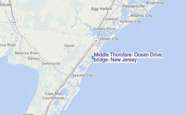
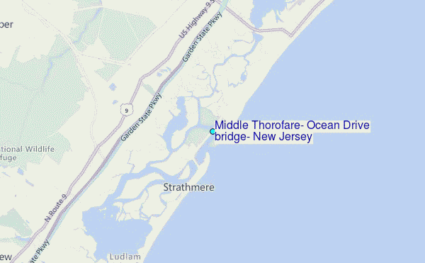
Choose Middle Thorofare, Ocean Drive bridge, New Jersey Location Map Zoom:
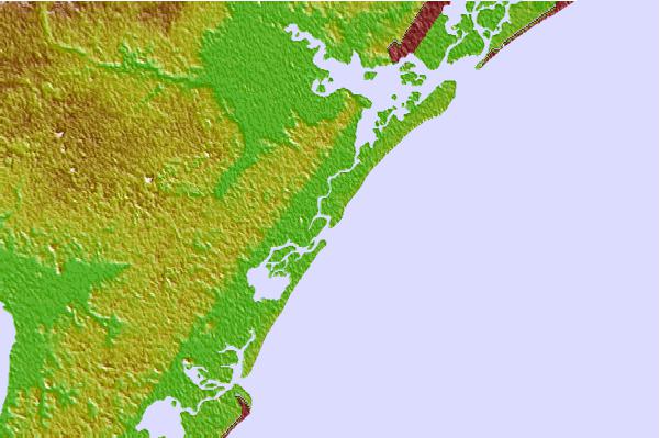
| Contours: | Roads & Rivers: | Select a
tide station / surf break / city |

Use this relief map to navigate to tide stations, surf breaks and cities that are in the area of Middle Thorofare, Ocean Drive bridge, New Jersey.
Other Nearby Locations' tide tables and tide charts to Middle Thorofare, Ocean Drive bridge, New Jersey:
click location name for more details
 Surf breaks close to Middle Thorofare, Ocean Drive bridge, New Jersey:
|
||
|---|---|---|
| Closest surf break | 57th Street | 1 mi |
| Second closest surf break | 55th Street Pier | 1 mi |
| Third closest surf break | Strathmere 7th Street | 1 mi |
| Fourth closest surf break | Sumner Avenue (Strathmere) | 2 mi |
| Fifth closest surf break | 12th Street Jetty | 2 mi |


 Nearest
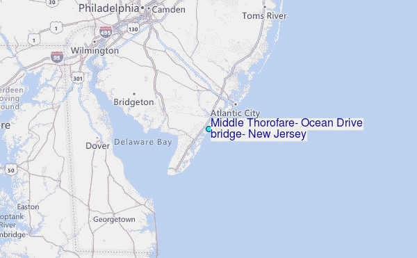