
| Distance / Altitude | Location | Report Date / Time | Live Weather | Wind | Gusts | Temp. | Visibility | Cloud |
|---|---|---|---|---|---|---|---|---|
| 14 km SE / 211 m | Abu Dhabi/Bateen Airport (U. Arab Emirates) | 2026-07-09 22:30 local (2026/07/09 18:30 GMT) | - | moderate winds from the NW (20 km/h at 310) | — | 0.0 | ||
| 28 km ESE / 216 m | Abu Dhabi International Airport (U. Arab Emirates) | 2026-07-09 22:30 local (2026/07/09 18:30 GMT) | - | light winds from the WNW (19 km/h at 290) | — | 0.0 | ||
| 90 km ENE / 25 m | Dubai Al Maktoum International Airport (U. arab emirates) | 2026-07-09 22:30 local (2026/07/09 18:30 GMT) | - | light winds from the WSW (19 km/h at 250) | — | 0.0 | ||
| 113 km NNE / 15 m | ASCATB55E25N (Marine) | 2026-07-09 21:16 local (2026/07/09 17:16 GMT) | moderate winds from the WSW (21 km/h at 249) | — | - km | |||
| 124 km NE / 217 m | Dubai International Airport (U. Arab Emirates) | 2026-07-09 22:30 local (2026/07/09 18:30 GMT) | - | light winds from the W.(Wind varies from 150 to 300 degs) (9 km/h at 260) | — | 0.0 | ||
| 127 km ESE / 707 m | AL Ain International Airport (U. Arab Emirates) | 2026-07-09 22:30 local (2026/07/09 18:30 GMT) | - | light winds from the WNW (6 km/h at 290) | — | 0.0 | ||
| 145 km NE / 215 m | Sharjah International Airport (U. Arab Emirates) | 2026-07-09 22:30 local (2026/07/09 18:30 GMT) | Dry and partly cloudy | light winds from the WSW (9 km/h at 250) | — | 0.0 | no significant cloud - - | |
| 191 km NNE / 15 m | ASCATB55E26N (Marine) | 2026-07-09 21:16 local (2026/07/09 17:16 GMT) | light winds from the WSW (19 km/h at 245) | — | - km | |||
| 197 km NE / 215 m | Ras AL Khaimah Airport (U. Arab Emirates) | 2026-07-09 22:30 local (2026/07/09 18:30 GMT) | - | light winds from the N (9 km/h at 360) | — | 0.0 | ||
| 206 km ENE / 212 m | Fujairah International Airport (U. Arab Emirates) | 2026-07-09 22:30 local (2026/07/09 18:30 GMT) | Dry and partly cloudy | light winds from the SSE (7 km/h at 150) | 35°C | 7.0 | no significant cloud scattered - |
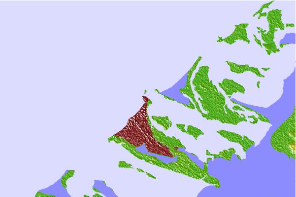
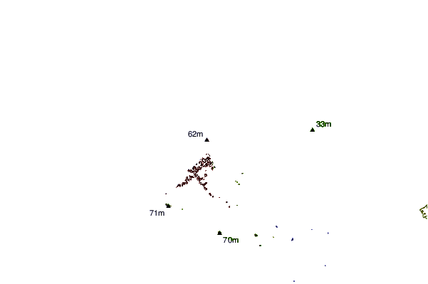
| Contours: | Roads & Rivers: | Select a
tide station / surf break / city |
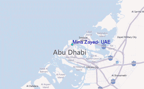
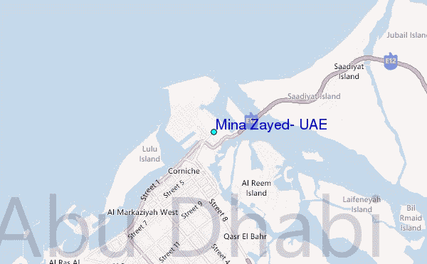
Use this relief map to navigate to tide stations, surf breaks and cities that are in the area of Mina Zayed, U.A.E..
Other Nearby Locations' tide tables and tide charts to Mina Zayed, U.A.E.:
click location name for more details
 Surf breaks close to Mina Zayed, U.A.E.:
|
||
|---|---|---|
| Closest surf break | Jebal Ali Lefts | 48 mi |
| Second closest surf break | Jumeirah Beach | 67 mi |
| Third closest surf break | Al Hamra - Ras Al Khema | 120 mi |
| Fourth closest surf break | Tim's Reef | 141 mi |
| Fifth closest surf break | Sur | 351 mi |


 Nearest
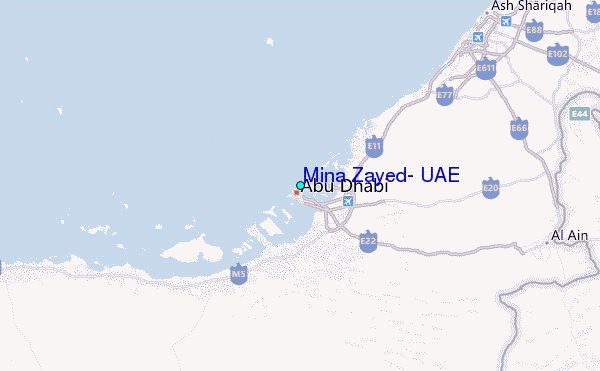