
| Distance / Altitude | Location | Report Date / Time | Live Weather | Wind | Gusts | Temp. | Visibility | Cloud |
|---|---|---|---|---|---|---|---|---|
| 0 km WSW / 3 m | BUOY-MISP4 (Marine) | 2026-07-09 18:48 local (2026/07/09 22:48 GMT) | - (- km/h at -) | — | - | |||
| 70 km WNW / 209 m | Punta Cana International Airport (Dominican Republic) | 2026-07-09 18:00 local (2026/07/09 22:00 GMT) | Dry and partly cloudy | light winds from the ENE (19 km/h at 70) | 29°C | 10.0 | broken scattered | |
| 77 km ENE / 3 m | Rincon Buoy - Puerto Rico (Marine) | 2026-07-09 18:56 local (2026/07/09 22:56 GMT) | - (- km/h at -) | — | - | |||
| 77 km ENE / 4 m | Rincon (Puerto Rico) | 2026-07-09 18:05 local (2026/07/09 22:05 GMT) | dry | calm (0 km/h at 91) | 29°C | - | - - 0 | |
| 77 km ENE / 6 m | Rincón Zona Urbana wx (Puerto Rico) | 2026-07-09 19:02 local (2026/07/09 23:02 GMT) | dry | calm (5 km/h at 63) | 28°C | - | - - 0 | |
| 84 km ENE / 167 m | Aguada (Puerto Rico) | 2026-07-09 18:04 local (2026/07/09 22:04 GMT) | dry | wind obs. (8 kph from 116 degs) was rejected (- km/h at -) | 29°C | - | - - 0 | |
| 84 km E / 3 m | BUOY-MGZP4 (Marine) | 2026-07-09 18:48 local (2026/07/09 22:48 GMT) | light winds from the NE (8 km/h at 40) | — | - | |||
| 84 km E / 30 m | Mayaguez (Puerto Rico) | 2026-07-09 18:12 local (2026/07/09 22:12 GMT) | dry | calm (2 km/h at 144) | 30°C | - | - - 0 | |
| 85 km ENE / 80 m | Aguada (Puerto Rico) | 2026-07-09 18:47 local (2026/07/09 22:47 GMT) | dry | wind obs. (10 kph from 222 degs) was rejected (- km/h at -) | 29°C | - | - - 0 | |
| 85 km ENE / 135 m | Aguada (Puerto Rico) | 2026-07-09 18:01 local (2026/07/09 22:01 GMT) | dry | wind obs. (8 kph from 115 degs) was rejected (- km/h at -) | 28°C | - | - - 0 |
| Contours: | Roads & Rivers: | Select a
tide station / surf break / city |
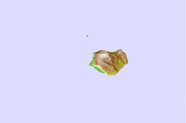
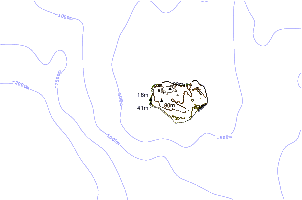
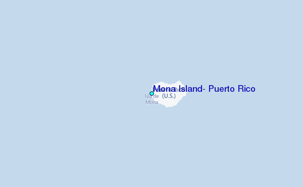
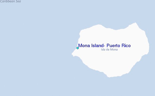
Use this relief map to navigate to tide stations, surf breaks and cities that are in the area of Mona Island, Puerto Rico.
Other Nearby Locations' tide tables and tide charts to Mona Island, Puerto Rico:
click location name for more details
 Surf breaks close to Mona Island, Puerto Rico:
|
||
|---|---|---|
| Closest surf break | Dogmans (Rincon) | 48 mi |
| Second closest surf break | Domes (Rincon) | 48 mi |
| Third closest surf break | Little Malibu (Rincon) | 48 mi |
| Fourth closest surf break | Maria's (Rincon) | 48 mi |
| Fifth closest surf break | Rincon (Indicators) | 48 mi |


 Nearest
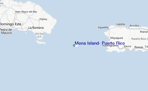