
| Distance / Altitude | Location | Report Date / Time | Live Weather | Wind | Gusts | Temp. | Visibility | Cloud |
|---|---|---|---|---|---|---|---|---|
| 4 km N / 193 m | Sangster/Montego Bay Airport (Jamaica) | 2026-07-09 13:00 local (2026/07/09 18:00 GMT) | Dry and partly cloudy | fresh winds from the E (30 km/h at 90) | 33°C | 10.0 | scattered few | |
| 80 km ENE / 0 m | lightning 25km NNE of Runaway Bay (Jamaica) | 2026-07-09 12:32 local (2026/07/09 17:32 GMT) | Thunderstorm | (- km/h at -) | — | |||
| 134 km ESE / 191 m | Kingston/Norman Manley International Airport (Jamaica) | 2026-07-09 13:00 local (2026/07/09 18:00 GMT) | - | fresh winds from the ESE (33 km/h at 120) | 33°C | |||
| 173 km WNW / 0 m | lightning 155km NW of Lucea (Jamaica) | 2026-07-09 13:03 local (2026/07/09 18:03 GMT) | Thunderstorm | (- km/h at -) | — | |||
| 201 km WNW / 0 m | lightning 170km SW of Santa Cruz del Sur (Cuba) | 2026-07-09 12:33 local (2026/07/09 17:33 GMT) | Thunderstorm | (- km/h at -) | — | |||
| 247 km W / 362 m | Gerrard Smith Airport (Grand Cayman Is) | 2026-07-09 13:00 local (2026/07/09 18:00 GMT) | - | light winds from the E (19 km/h at 90) | 32°C | 10.0 | few | |
| 271 km W / 0 m | lightning 91km NE of East End (Cayman Islands) | 2026-07-09 14:45 local (2026/07/09 19:45 GMT) | Thunderstorm | (- km/h at -) | — | |||
| 275 km NE / 209 m | Santiago De Cuba Airport (Cuba) | 2026-07-09 12:50 local (2026/07/09 17:50 GMT) | - | moderate winds from the SE.(Wind varies from 090 to 170 degs) (20 km/h at 130) | 32°C | 9.0 | few | |
| 305 km NNE / 208 m | Holguin Airport (Cuba) | 2026-07-09 12:50 local (2026/07/09 17:50 GMT) | Dry and partly cloudy | fresh winds from the E (30 km/h at 80) | 34°C | 9.0 | few broken | |
| 321 km ESE / 0 m | lightning 135km E of Dalvey (Jamaica) | 2026-07-09 14:18 local (2026/07/09 19:18 GMT) | Thunderstorm | (- km/h at -) | — |
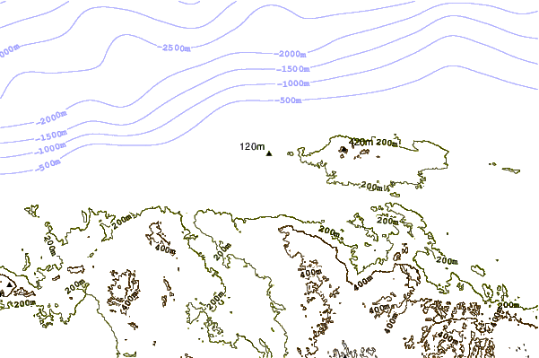
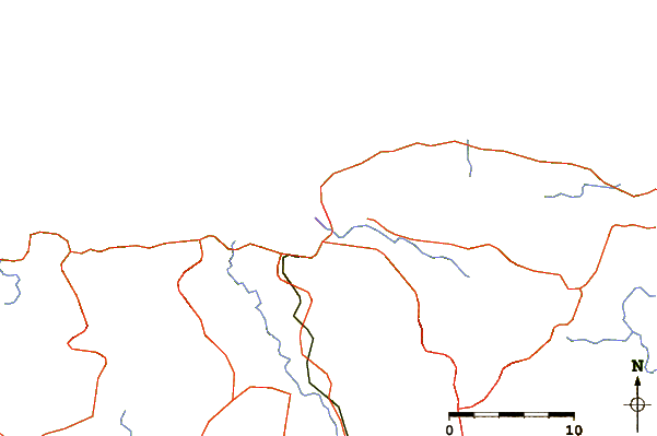
| Contours: | Roads & Rivers: | Select a
tide station / surf break / city |
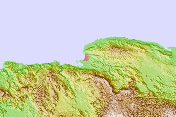
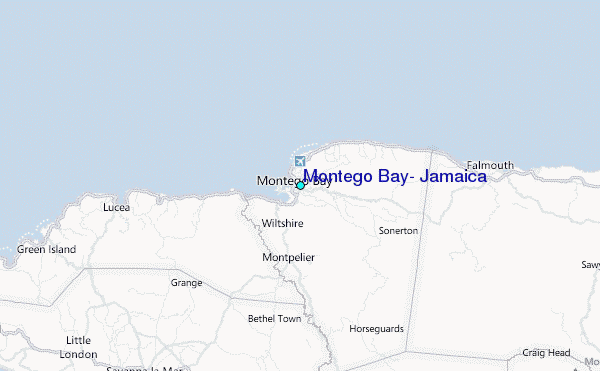
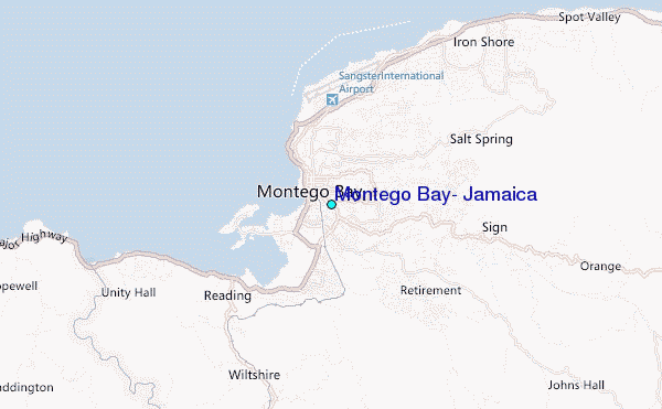
Use this relief map to navigate to tide stations, surf breaks and cities that are in the area of Montego Bay, Jamaica.
Other Nearby Locations' tide tables and tide charts to Montego Bay, Jamaica:
click location name for more details
 Surf breaks close to Montego Bay, Jamaica:
|
||
|---|---|---|
| Closest surf break | Discovery Bay | 34 mi |
| Second closest surf break | Runaway Bay | 39 mi |
| Third closest surf break | Lighthouse 2 | 83 mi |
| Fourth closest surf break | Peenie Wally | 85 mi |
| Fifth closest surf break | Zoo (Bull Bay) | 86 mi |


 Nearest
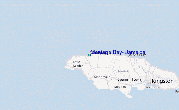