
| Distance / Altitude | Location | Report Date / Time | Live Weather | Wind | Gusts | Temp. | Visibility | Cloud |
|---|---|---|---|---|---|---|---|---|
| 10 km W / 217 m | Shirley Airport (New York) | 2026-06-26 23:56 local (2026/06/27 03:56 GMT) | Clear | calm (0 km/h at 0) | 22°C | 16 | ||
| 13 km ENE / 216 m | Westhampton Beach/Francis S. Gabreski Airport (New York) | 2026-06-26 23:53 local (2026/06/27 03:53 GMT) | Clear | light winds from the SW (7 km/h at 220) | 21°C | 16 | ||
| 30 km SW / 3 m | BUOY-44069 (Marine) | 2026-06-27 01:00 local (2026/06/27 05:00 GMT) | light winds from the WSW (14 km/h at 240) | 23°C | - | |||
| 30 km WSW / 218 m | Islip Airport (New York) | 2026-06-26 23:56 local (2026/06/27 03:56 GMT) | Dry and cloudy | light winds from the SW (7 km/h at 220) | 22°C | 16 | broken overcast | |
| 46 km WSW / 283 m | Brookhaven Lab Airport (New York) | 2026-06-27 00:35 local (2026/06/27 04:35 GMT) | Clear | calm (0 km/h at 0) | 25°C | 14 | ||
| 48 km WSW / 41 m | Dix Hills (New York) | 2026-06-27 01:30 local (2026/06/27 05:30 GMT) | dry | calm (0 km/h at 203) | 21°C | - | - - 0 | |
| 53 km WNW / 200 m | Bridgeport Airport (Connecticut) | 2026-06-26 23:52 local (2026/06/27 03:52 GMT) | Clear | light winds from the SW (6 km/h at 220) | 22°C | 13 | ||
| 54 km N / 218 m | New Haven/Tweed Airport (Connecticut) | 2026-06-26 23:53 local (2026/06/27 03:53 GMT) | Clear | wind obs. (6 kph from 170 degs) was rejected (- km/h at -) | 22°C | 14 | ||
| 56 km WNW / 3 m | BUOY-BRHC3 (Marine) | 2026-06-27 01:00 local (2026/06/27 05:00 GMT) | calm (5 km/h at 10) | 23°C | - | |||
| 56 km NW / 3 m | BUOY-NWHC3 (Marine) | 2026-06-27 01:00 local (2026/06/27 05:00 GMT) | calm (2 km/h at 260) | 22°C | - |
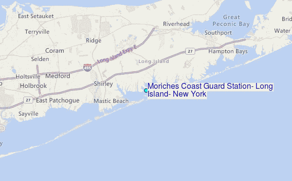
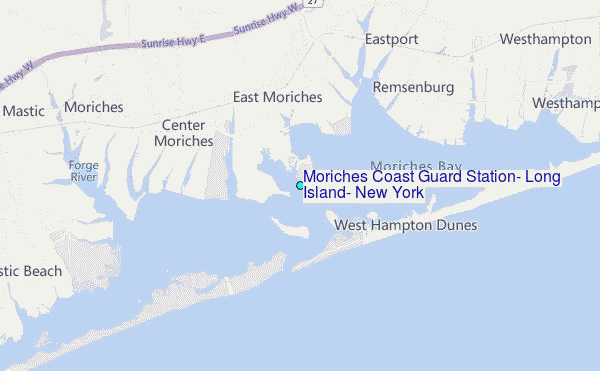
Choose Moriches Coast Guard Station, Long Island, New York Location Map Zoom:
| Contours: | Roads & Rivers: | Select a
tide station / surf break / city |
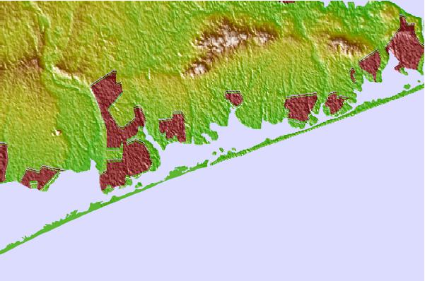
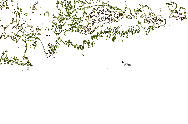
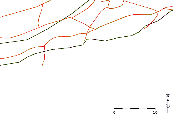
Use this relief map to navigate to tide stations, surf breaks and cities that are in the area of Moriches Coast Guard Station, Long Island, New York.
Other Nearby Locations' tide tables and tide charts to Moriches Coast Guard Station, Long Island, New York:
click location name for more details
 Surf breaks close to Moriches Coast Guard Station, Long Island, New York:
|
||
|---|---|---|
| Closest surf break | Cupsogue | 2 mi |
| Second closest surf break | Jetty | 4 mi |
| Third closest surf break | Fire Island | 7 mi |
| Fourth closest surf break | Road K | 13 mi |
| Fifth closest surf break | Outside Ponquogue | 14 mi |


 Nearest
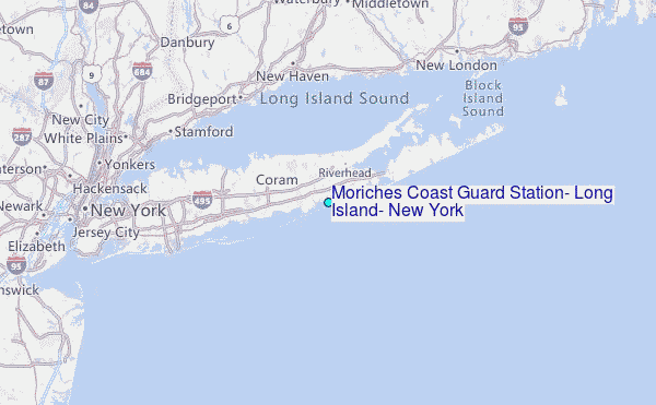