
| Distance / Altitude | Location | Report Date / Time | Live Weather | Wind | Gusts | Temp. | Visibility | Cloud |
|---|---|---|---|---|---|---|---|---|
| 69 km E / 15 m | ASCATC144E14S (Marine) | 2026-06-20 22:20 local (2026/06/20 12:20 GMT) | fresh winds from the SE (36 km/h at 138) | — | - km | |||
| 72 km E / 15 m | ASCATB144E14S (Marine) | 2026-06-20 21:52 local (2026/06/20 11:52 GMT) | fresh winds from the SE (36 km/h at 139) | — | - km | |||
| 109 km N / 15 m | ASCATB144E13S (Marine) | 2026-06-20 21:53 local (2026/06/20 11:53 GMT) | fresh winds from the SE (34 km/h at 132) | — | - km | |||
| 115 km NNE / 15 m | ASCATC144E13S (Marine) | 2026-06-20 22:20 local (2026/06/20 12:20 GMT) | fresh winds from the SE (37 km/h at 127) | — | - km | |||
| 120 km E / 15 m | ASCATC145E14S (Marine) | 2026-06-20 22:20 local (2026/06/20 12:20 GMT) | fresh winds from the SE (38 km/h at 135) | — | - km | |||
| 123 km E / 15 m | ASCATB145E14S (Marine) | 2026-06-20 21:52 local (2026/06/20 11:52 GMT) | fresh winds from the SE (36 km/h at 131) | — | - km | |||
| 141 km NE / 15 m | ASCATC145E13S (Marine) | 2026-06-20 22:20 local (2026/06/20 12:20 GMT) | fresh winds from the SE (36 km/h at 129) | — | - km | |||
| 142 km NE / 15 m | ASCATB145E13S (Marine) | 2026-06-20 21:53 local (2026/06/20 11:53 GMT) | fresh winds from the SE (36 km/h at 125) | — | - km | |||
| 214 km E / 15 m | ASCATB146E14S (Marine) | 2026-06-20 21:52 local (2026/06/20 11:52 GMT) | fresh winds from the SE (35 km/h at 127) | — | - km | |||
| 217 km N / 15 m | ASCATB143E12S (Marine) | 2026-06-20 21:53 local (2026/06/20 11:53 GMT) | fresh winds from the SE (33 km/h at 129) | — | - km |

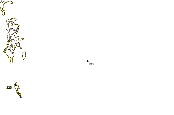
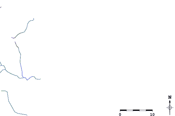
| Contours: | Roads & Rivers: | Select a
tide station / surf break / city |
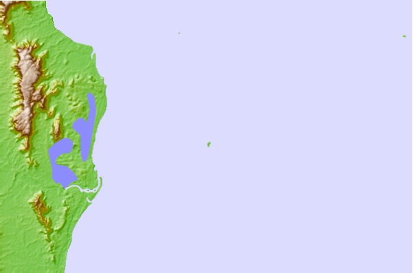
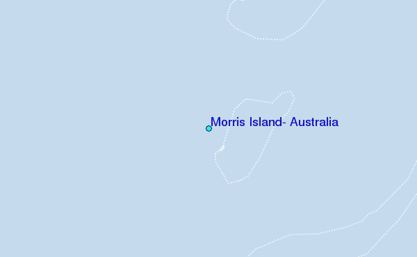
Use this relief map to navigate to tide stations, surf breaks and cities that are in the area of Morris Island, Australia.
Other Nearby Locations' tide tables and tide charts to Morris Island, Australia:
click location name for more details
 Surf breaks close to Morris Island, Australia:
|
||
|---|---|---|
| Closest surf break | Eimeo Point | 634 mi |
| Second closest surf break | Dolphin Heads | 635 mi |
| Third closest surf break | Tupira Right | 635 mi |
| Fourth closest surf break | Lamberts Beach | 638 mi |
| Fifth closest surf break | North Wall Mackay Harbour Beach | 640 mi |


 Nearest
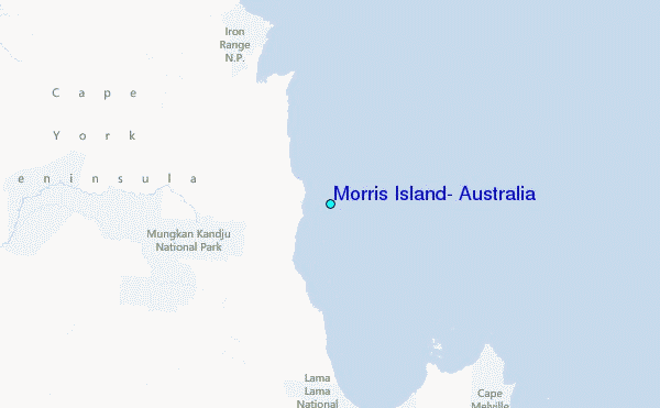