
| Distance / Altitude | Location | Report Date / Time | Live Weather | Wind | Gusts | Temp. | Visibility | Cloud |
|---|---|---|---|---|---|---|---|---|
| 8 km W / 218 m | Fort Belvoir/Davison Airport (Virginia) | 2026-07-25 18:55 local (2026/07/25 22:55 GMT) | Clear | light winds from the SSE (6 km/h at 160) | 27°C | 16 | ||
| 17 km NNE / 218 m | Washington/National Airport (Washington D.c.) | 2026-07-25 18:52 local (2026/07/25 22:52 GMT) | Dry and partly cloudy | light winds from the S (11 km/h at 180) | 27°C | 16 | few scattered | |
| 20 km NNE / 3 m | BUOY-WASD2 (Marine) | 2026-07-25 19:42 local (2026/07/25 23:42 GMT) | calm (5 km/h at 120) | 26°C | - | |||
| 23 km NE / 217 m | Andrews Air Force Base Airport (Maryland) | 2026-07-25 18:55 local (2026/07/25 22:55 GMT) | Clear | light winds from the ESE (15 km/h at 110) | 25°C | 16 | ||
| 28 km SSW / 219 m | Quantico Marine Corps Air Facility Airport (Virginia) | 2026-07-25 18:56 local (2026/07/25 22:56 GMT) | - | light winds from the S (7 km/h at 190) | 27°C | 0.0 | ||
| 35 km NNE / 15 m | College Park Airport (Maryland) (Maryland) | 2026-07-25 19:35 local (2026/07/25 23:35 GMT) | Dry and cloudy | light winds from the ESE (7 km/h at 110) | 26°C | 16 | overcast | |
| 38 km WSW / 206 m | Manassas Municipal Airport (Virginia) | 2026-07-25 18:56 local (2026/07/25 22:56 GMT) | Dry and cloudy | light winds from the SSE (9 km/h at 160) | 26°C | 16 | overcast | |
| 41 km WNW / 218 m | Wash DC/Dulles Airport (Virginia) | 2026-07-25 18:52 local (2026/07/25 22:52 GMT) | Dry and partly cloudy | light winds from the SW (7 km/h at 230) | 25°C | 16 | few scattered | |
| 42 km S / 3 m | BUOY-NCDV2 (Marine) | 2026-07-25 19:42 local (2026/07/25 23:42 GMT) | light winds from the S (8 km/h at 180) | 25°C | - | |||
| 46 km SSW / 217 m | Stafford Regional Airport (Virginia) | 2026-07-25 19:35 local (2026/07/25 23:35 GMT) | Dry and cloudy | calm (0 km/h at 0) | 24°C | 16 | overcast |
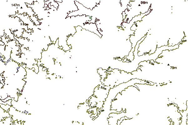
| Contours: | Roads & Rivers: | Select a
tide station / surf break / city |
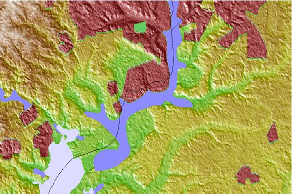
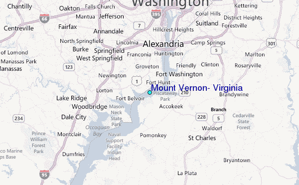
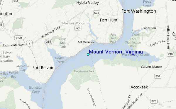
Use this relief map to navigate to tide stations, surf breaks and cities that are in the area of Mount Vernon, Virginia.
Other Nearby Locations' tide tables and tide charts to Mount Vernon, Virginia:
click location name for more details
 Surf breaks close to Mount Vernon, Virginia:
|
||
|---|---|---|
| Closest surf break | Naval Jetties | 108 mi |
| Second closest surf break | Rehoboth Main | 108 mi |
| Third closest surf break | The Cove Delaware | 108 mi |
| Fourth closest surf break | Dewey Beach | 109 mi |
| Fifth closest surf break | Tower Road | 109 mi |


 Nearest
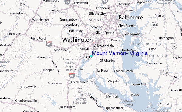