
| Distance / Altitude | Location | Report Date / Time | Live Weather | Wind | Gusts | Temp. | Visibility | Cloud |
|---|---|---|---|---|---|---|---|---|
| 2 km S / 7 m | Kaycee (New Zealand) | 2026-07-10 08:02 local (2026/07/09 20:02 GMT) | Dry | light winds from the SW (13 km/h at 225) | 8°C | - | - - - | |
| 2 km S / 21 m | Te Awa wx (New Zealand) | 2026-07-10 07:37 local (2026/07/09 19:37 GMT) | dry | light winds from the SW (11 km/h at 236) | 8°C | - | - - 0 | |
| 9 km WNW / 12 m | Maporiki- Bay View- NZ (New Zealand) | 2026-07-10 08:01 local (2026/07/09 20:01 GMT) | Dry | calm (2 km/h at 45) | 8°C | - | - - - | |
| 16 km S / 1 m | Inglis Place (New Zealand) | 2026-07-10 08:00 local (2026/07/09 20:00 GMT) | Dry | light winds from the SW (11 km/h at 225) | 8°C | - | - - - | |
| 18 km SSW / 13 m | Hastings (New Zealand) | 2026-07-10 08:10 local (2026/07/09 20:10 GMT) | Dry | (- km/h at -) | 8°C | - | - - - | |
| 18 km W / 125 m | Rissington (New Zealand) | 2026-07-10 08:01 local (2026/07/09 20:01 GMT) | Dry | calm (2 km/h at 135) | 7°C | - | - - - | |
| 23 km SE / 48 m | Cape Kidnappers (New Zealand) | 2026-07-10 08:10 local (2026/07/09 20:10 GMT) | No weather report | near gales from the S (54 km/h at 180) | 11°C | - | - - - | |
| 23 km S / 414 m | Burma Rd HB (New Zealand) | 2026-07-10 08:00 local (2026/07/09 20:00 GMT) | - | calm (2 km/h at 167) | 10°C | - | - - 0 | |
| 25 km S / 100 m | Te Mata Peak (New Zealand) | 2026-07-10 08:00 local (2026/07/09 20:00 GMT) | - | near gales from the SW (59 km/h at 229) | — | - | - - 0 | |
| 34 km WNW / 475 m | Te Pōhue Automatic Weather Station (New Zealand) | 2026-07-10 08:10 local (2026/07/09 20:10 GMT) | Recent light rain | light winds from the S (11 km/h at 180) | 5°C | - | - - - |
| Contours: | Roads & Rivers: | Select a
tide station / surf break / city |
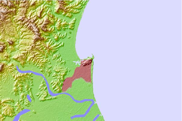
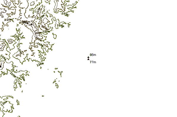
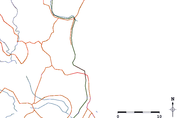
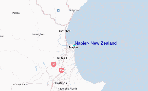
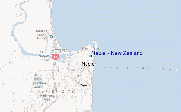
Use this relief map to navigate to tide stations, surf breaks and cities that are in the area of Napier, New Zealand.
Other Nearby Locations' tide tables and tide charts to Napier, New Zealand:
click location name for more details
 Surf breaks close to Napier, New Zealand:
|
||
|---|---|---|
| Closest surf break | Napier - Hardings Road | 1 mi |
| Second closest surf break | Napier - Marine Parade | 1 mi |
| Third closest surf break | Awatoto Rivermouth | 1 mi |
| Fourth closest surf break | Napier - The Reef | 1 mi |
| Fifth closest surf break | West Shore Beach | 2 mi |


 Nearest
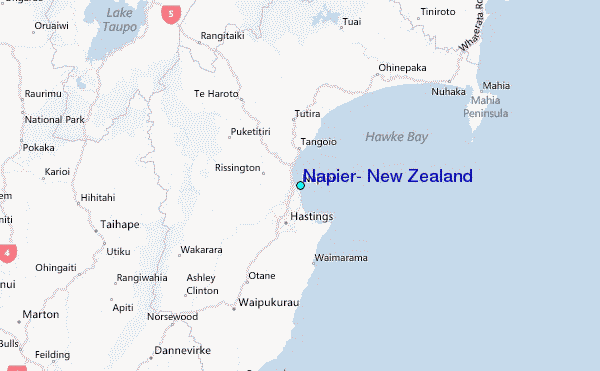