
| Distance / Altitude | Location | Report Date / Time | Live Weather | Wind | Gusts | Temp. | Visibility | Cloud |
|---|---|---|---|---|---|---|---|---|
| 21 km SSE / 3 m | BUOY-ASTO3 (Marine) | 2026-06-23 19:48 local (2026/06/24 02:48 GMT) | moderate winds from the WNW (21 km/h at 290) | — | - | |||
| 27 km S / 218 m | Astoria Airport (Oregon) | 2026-06-23 18:55 local (2026/06/24 01:55 GMT) | Clear | light winds from the WSW (15 km/h at 240) | 17°C | 13 | ||
| 29 km SSW / 3 m | Clatsop Spit- OR (Marine) | 2026-06-23 20:00 local (2026/06/24 03:00 GMT) | - (- km/h at -) | 15°C | - | |||
| 29 km SSW / 3 m | SHIP8080 (Marine) | 2026-06-23 18:00 local (2026/06/24 01:00 GMT) | - (- km/h at -) | 20°C | - | |||
| 37 km NW / 3 m | BUOY-TOKW1 (Marine) | 2026-06-23 19:48 local (2026/06/24 02:48 GMT) | moderate winds from the W (22 km/h at 270) | — | - | |||
| 29 km SSW / 15 m | SHIP1521 (Marine) | 2026-06-23 18:00 local (2026/06/24 01:00 GMT) | - (- km/h at -) | — | - km | |||
| 29 km SSW / 15 m | SHIP4199 (Marine) | 2026-06-23 18:00 local (2026/06/24 01:00 GMT) | - (- km/h at -) | — | - km | |||
| 29 km SSW / 15 m | SHIP6930 (Marine) | 2026-06-23 18:00 local (2026/06/24 01:00 GMT) | - (- km/h at -) | — | - km | |||
| 37 km NW / 3 m | BUOY-TOKW1 (Marine) | 2026-06-23 19:48 local (2026/06/24 02:48 GMT) | moderate winds from the W (22 km/h at 270) | — | - | |||
| 48 km SW / 15 m | SHIP6436 (Marine) | 2026-06-23 19:00 local (2026/06/24 02:00 GMT) | - (- km/h at -) | — | - km |
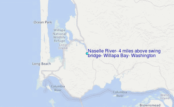
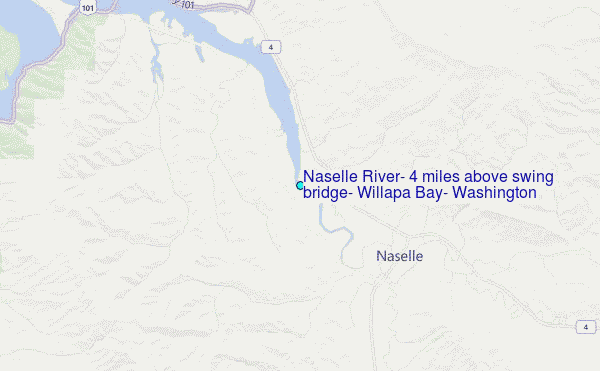
Choose Naselle River, 4 miles above swing bridge, Willapa Bay, Washington Location Map Zoom:
| Contours: | Roads & Rivers: | Select a
tide station / surf break / city |
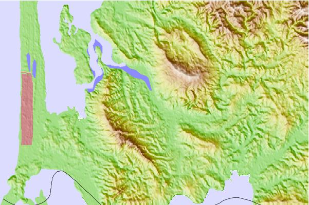
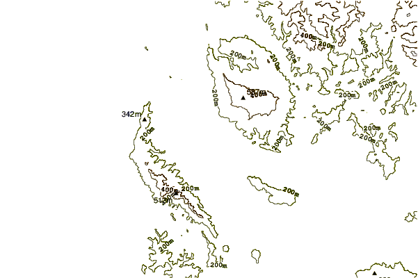
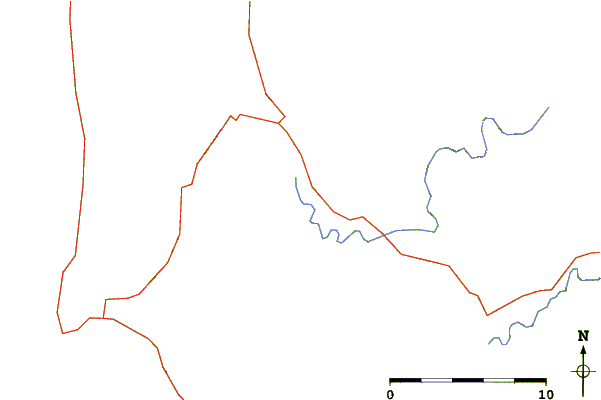
Use this relief map to navigate to tide stations, surf breaks and cities that are in the area of Naselle River, 4 miles above swing bridge, Willapa Bay, Washington.
Other Nearby Locations' tide tables and tide charts to Naselle River, 4 miles above swing bridge, Willapa Bay, Washington:
click location name for more details
 Surf breaks close to Naselle River, 4 miles above swing bridge, Willapa Bay, Washington:
|
||
|---|---|---|
| Closest surf break | Ocean Park | 12 mi |
| Second closest surf break | Turtles | 12 mi |
| Third closest surf break | Fort Canby A Jetty | 14 mi |
| Fourth closest surf break | Long Beach Peninsula | 16 mi |
| Fifth closest surf break | Seaside Cove | 29 mi |


 Nearest
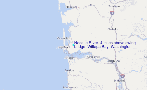