
| Distance / Altitude | Location | Report Date / Time | Live Weather | Wind | Gusts | Temp. | Visibility | Cloud |
|---|---|---|---|---|---|---|---|---|
| 14 km S / 55 m | Arsuf RC airfield (Israel) | 2026-07-09 22:00 local (2026/07/09 19:00 GMT) | - | calm (0 km/h at 278) | 23°C | - | - - 0 | |
| 19 km S / 15 m | Marina Herzlia (Israel) | 2026-07-09 22:00 local (2026/07/09 19:00 GMT) | - | light winds from the NE (6 km/h at 35) | 26°C | - | - - 0 | |
| 27 km SE / 86 m | Bayt Amīn wx (Palestinian Territory) | 2026-07-09 22:32 local (2026/07/09 19:32 GMT) | dry | calm (0 km/h at 18) | 24°C | - | - - 0 | |
| 29 km NNE / 128 m | Zichron Take-off (Israel) | 2026-07-09 22:00 local (2026/07/09 19:00 GMT) | - | calm (2 km/h at 303) | — | - | - - 0 | |
| 37 km S / 30 m | Bet Dagan (Israel) | 2026-07-09 21:00 local (2026/07/09 18:00 GMT) | no report | light winds from the NW (11 km/h at 310) | 31°C | 10 | - | |
| 37 km S / 49 m | Ben -Gurion Int. Airport (Israel) | 2026-07-09 21:00 local (2026/07/09 18:00 GMT) | no report | light winds from the WNW (18 km/h at 290) | 31°C | - | - - - | |
| 37 km S / 218 m | Ben Gurion Airport (Israel) | 2026-07-09 21:20 local (2026/07/09 18:20 GMT) | Dry and partly cloudy | light winds from the N (7 km/h at 360) | — | 0.0 | few broken broken | |
| 47 km S / 72 m | Kefar Aharon wx (Israel) | 2026-07-09 22:23 local (2026/07/09 19:23 GMT) | dry | calm (0 km/h at 269) | 24°C | - | - - 0 | |
| 47 km S / 63 m | Nes Tziona (Israel) | 2026-07-09 22:45 local (2026/07/09 19:45 GMT) | dry | calm (0 km/h at 312) | 27°C | - | - - 0 | |
| 53 km NNE / 445 m | Haifa Air Force Base Airport (Israel) | 2026-07-09 20:50 local (2026/07/09 17:50 GMT) | - | light winds from the WNW.(Wind varies from 260 to 340 degs) (9 km/h at 300) | 27°C | 10.0 | few |
| Contours: | Roads & Rivers: | Select a
tide station / surf break / city |
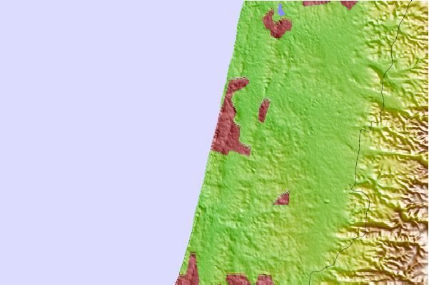
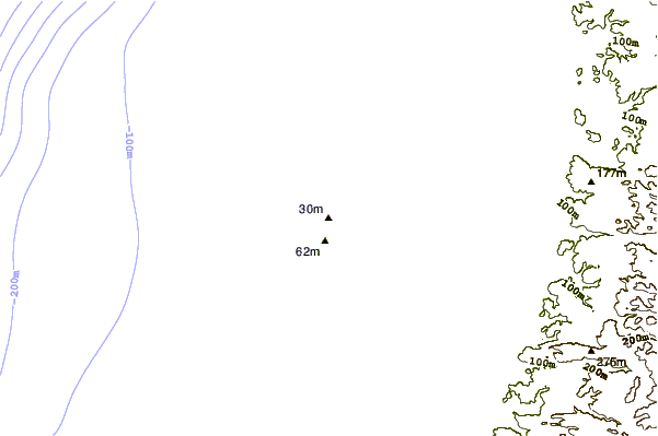
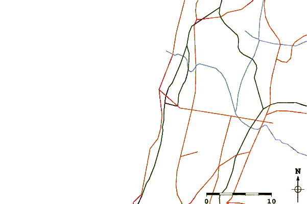
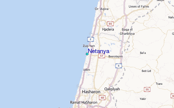
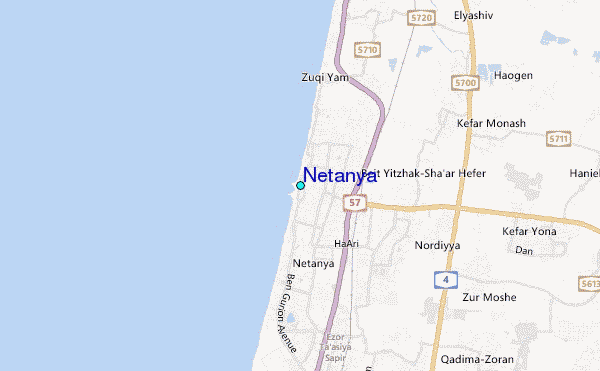
Use this relief map to navigate to tide stations, surf breaks and cities that are in the area of Netanya.
Other Nearby Locations' tide tables and tide charts to Netanya:
click location name for more details
 Surf breaks close to Netanya:
|
||
|---|---|---|
| Closest surf break | Ambatia Beach | 0 mi |
| Second closest surf break | Kontiki (Herzelia) | 0 mi |
| Third closest surf break | Sironit Beach | 1 mi |
| Fourth closest surf break | Dosim Beach | 1 mi |
| Fifth closest surf break | Argaman's Beach | 2 mi |


 Nearest
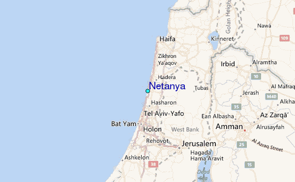