
| Distance / Altitude | Location | Report Date / Time | Live Weather | Wind | Gusts | Temp. | Visibility | Cloud |
|---|---|---|---|---|---|---|---|---|
| 30 km N / 218 m | Sacramento Airport (California) | 2026-06-18 22:53 local (2026/06/19 05:53 GMT) | Clear | light winds from the S (15 km/h at 190) | 17°C | 16 | ||
| 38 km WSW / 218 m | Travis Air Force Base Airport (California) | 2026-06-18 22:55 local (2026/06/19 05:55 GMT) | Clear | strong winds from the WSW (43 km/h at 240) | 17°C | 16 | ||
| 39 km NNE / 190 m | Mather Field Airport (California) | 2026-06-18 23:35 local (2026/06/19 06:35 GMT) | Clear | moderate winds from the SSW (20 km/h at 210) | 18°C | 16 | ||
| 41 km SW / 3 m | BUOY-PSBC1 (Marine) | 2026-06-19 00:00 local (2026/06/19 07:00 GMT) | fresh winds from the WNW (33 km/h at 300) | 17°C | - | |||
| 43 km WNW / 21 m | Davis (California) | 2026-06-18 23:35 local (2026/06/19 06:35 GMT) | Clear | calm (0 km/h at 0) | 17°C | 16 | ||
| 44 km W / 217 m | Vacaville Airport (California) | 2026-06-18 22:53 local (2026/06/19 05:53 GMT) | Clear | light winds from the SSW (15 km/h at 210) | 18°C | 16 | ||
| 45 km S / 24 m | Byron Airport (California) (California) | 2026-06-18 23:35 local (2026/06/19 06:35 GMT) | Clear | fresh winds from the W (35 km/h at 260) | 18°C | 16 | ||
| 45 km SSE / 218 m | Stockton Airport (California) | 2026-06-18 22:55 local (2026/06/19 05:55 GMT) | Clear | light winds from the NNW (19 km/h at 340) | 17°C | 16 | ||
| 47 km WSW / 3 m | BUOY-SFXC1 (Marine) | 2026-06-18 23:45 local (2026/06/19 06:45 GMT) | moderate winds from the W (21 km/h at 270) | 16°C | - | |||
| 50 km N / 23 m | Mcclellan Air Force Base (California) | 2026-06-18 23:35 local (2026/06/19 06:35 GMT) | Clear | moderate winds from the S (22 km/h at 180) | 17°C | 16 |
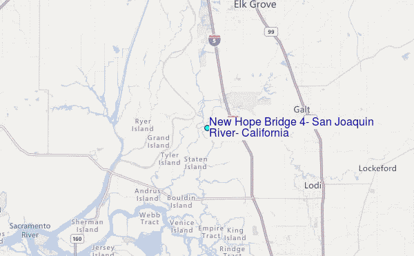
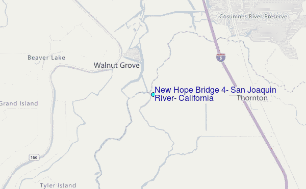
Choose New Hope Bridge #4, San Joaquin River, California Location Map Zoom:
| Contours: | Roads & Rivers: | Select a
tide station / surf break / city |
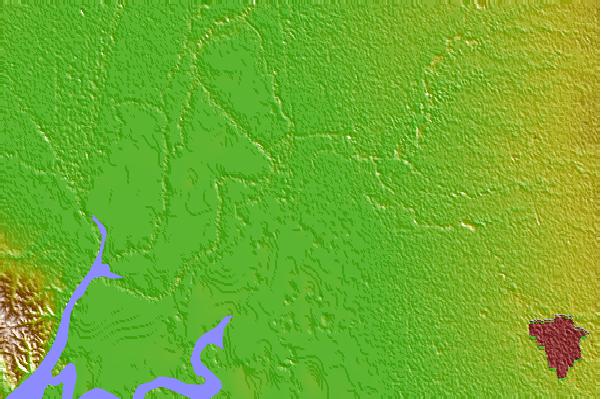

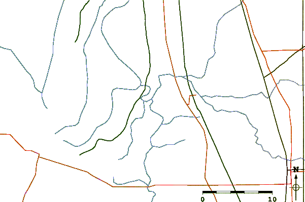
Use this relief map to navigate to tide stations, surf breaks and cities that are in the area of New Hope Bridge #4, San Joaquin River, California.
Other Nearby Locations' tide tables and tide charts to New Hope Bridge #4, San Joaquin River, California:
click location name for more details
 Surf breaks close to New Hope Bridge #4, San Joaquin River, California:
|
||
|---|---|---|
| Closest surf break | Fort Point | 61 mi |
| Second closest surf break | Deadman's | 63 mi |
| Third closest surf break | Fort Cronkite Rodeo Beach | 63 mi |
| Fourth closest surf break | Kellys Cove | 64 mi |
| Fifth closest surf break | Ocean Beach | 65 mi |


 Nearest
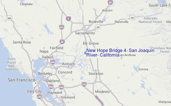