
| Distance / Altitude | Location | Report Date / Time | Live Weather | Wind | Gusts | Temp. | Visibility | Cloud |
|---|---|---|---|---|---|---|---|---|
| 153 km W / 184 m | Georgetown Airport (Guiana) | 2026-07-09 17:00 local (2026/07/09 20:00 GMT) | Dry and partly cloudy | moderate winds from the NE.(Wind varies from 360 to 070 degs) (26 km/h at 40) | 30°C | 10.0 | few scattered | |
| 156 km WNW / 3 m | Eugene F Correira International Airport (Guyana) | 2026-07-09 17:00 local (2026/07/09 20:00 GMT) | Dry and partly cloudy | light winds from the NE (15 km/h at 50) | 29°C | 10.0 | scattered | |
| 423 km SSW / 107 m | Lethem (Guyana) | 2026-07-09 18:00 local (2026/07/09 21:00 GMT) | Dry and partly cloudy | light winds from the ENE (19 km/h at 70) | 27°C | 10.0 | scattered | |
| 526 km ESE / 211 m | Cayenne/Rochambeau Airport (Guiana) | 2026-07-09 17:30 local (2026/07/09 20:30 GMT) | Light rain | light winds from the E.(Wind varies from 050 to 110 degs) (19 km/h at 80) | 29°C | 10.0 | broken broken | |
| 537 km ESE / 90 m | St Hilaire du Rorota (French Guiana) | 2026-07-09 18:00 local (2026/07/09 21:00 GMT) | - | light winds from the SE (17 km/h at 145) | 24°C | - | - - 0 | |
| 538 km ESE / 90 m | St Hilaire du Rorota (French Guiana) | 2026-07-09 18:00 local (2026/07/09 21:00 GMT) | - | light winds from the SE (17 km/h at 145) | 24°C | - | - - 0 | |
| 539 km SSW / 216 m | Boa Vista Airport (Brazil) | 2026-07-09 17:00 local (2026/07/09 20:00 GMT) | Dry and partly cloudy | light winds from the ENE (19 km/h at 70) | 33°C | 10.0 | scattered scattered broken | |
| 601 km NW / 3 m | SHIP6972 (Marine) | 2026-07-09 18:00 local (2026/07/09 21:00 GMT) | fresh winds from the ENE (37 km/h at 70) | 28°C | - | |||
| 601 km NW / 15 m | SHIP7602 (Marine) | 2026-07-09 18:00 local (2026/07/09 21:00 GMT) | fresh winds from the ENE (37.080000000000005 km/h at 70) | — | - km | |||
| 611 km NW / 3 m | SHIP4168 (Marine) | 2026-07-09 16:00 local (2026/07/09 19:00 GMT) | fresh winds from the ENE (35 km/h at 60) | 28°C | - |
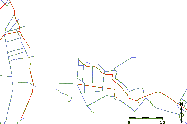
| Contours: | Roads & Rivers: | Select a
tide station / surf break / city |
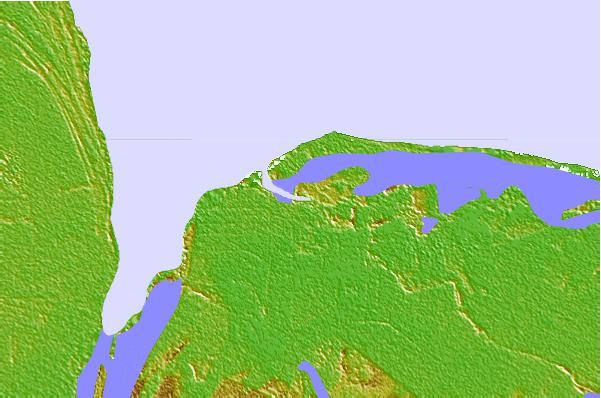
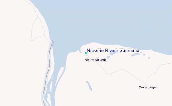
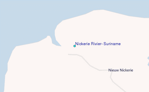
Use this relief map to navigate to tide stations, surf breaks and cities that are in the area of Nickerie Rivier, Suriname.
Other Nearby Locations' tide tables and tide charts to Nickerie Rivier, Suriname:
click location name for more details
 Surf breaks close to Nickerie Rivier, Suriname:
|
||
|---|---|---|
| Closest surf break | Saint Joseph (Iles du Salut) | 306 mi |
| Second closest surf break | Ilet du Novotel | 330 mi |
| Third closest surf break | Anse de Rémire (L'apcat) | 333 mi |
| Fourth closest surf break | Mahury | 334 mi |
| Fifth closest surf break | La Mère | 339 mi |


 Nearest
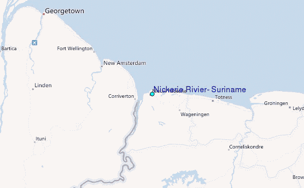