
| Distance / Altitude | Location | Report Date / Time | Live Weather | Wind | Gusts | Temp. | Visibility | Cloud |
|---|---|---|---|---|---|---|---|---|
| 320 km NW / 13 m | Horn Island Airport (Australia) | 2026-06-22 14:30 local (2026/06/22 04:30 GMT) | Dry and partly cloudy | fresh winds from the SE (33 km/h at 130) | 29°C | 10.0 | no cloud | |
| 364 km NW / 15 m | SHIP7796 (Marine) | 2026-06-22 14:00 local (2026/06/22 04:00 GMT) | - (- km/h at -) | 27°C | - km | |||
| 467 km SSE / 400 m | Mareeba (Australia) | 2026-06-22 15:36 local (2026/06/22 05:36 GMT) | dry | light winds from the S (8 km/h at 171) | 22°C | - | - - 0 | |
| 472 km SSE / 218 m | Cairns Airport (Australia) | 2026-06-22 14:30 local (2026/06/22 04:30 GMT) | Dry and cloudy | fresh winds from the SSE (30 km/h at 160) | 24°C | 10.0 | overcast overcast | |
| 518 km SSE / 140 m | Bellenden Ker wx (Australia) | 2026-06-22 15:32 local (2026/06/22 05:32 GMT) | dry | wind obs. (10 kph from 202 degs) was rejected (- km/h at -) | 23°C | - | - - 0 | |
| 362 km NW / 15 m | SHIP2122 (Marine) | 2026-06-22 13:00 local (2026/06/22 03:00 GMT) | - (- km/h at -) | 27°C | - km | |||
| 362 km NW / 3 m | SHIP2665 (Marine) | 2026-06-22 13:00 local (2026/06/22 03:00 GMT) | - (- km/h at -) | 29°C | - | |||
| 362 km NW / 3 m | SHIP7899 (Marine) | 2026-06-22 13:00 local (2026/06/22 03:00 GMT) | - (- km/h at -) | 29°C | - | |||
| 362 km NW / 15 m | SHIP4047 (Marine) | 2026-06-22 13:00 local (2026/06/22 03:00 GMT) | - (- km/h at -) | 27°C | - km | |||
| 362 km NW / 15 m | SHIP5934 (Marine) | 2026-06-22 13:00 local (2026/06/22 03:00 GMT) | - (- km/h at -) | 27°C | - km |
| Contours: | Roads & Rivers: | Select a
tide station / surf break / city |
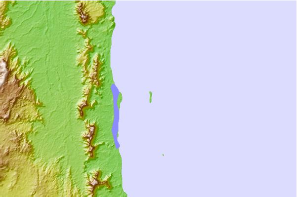
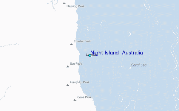
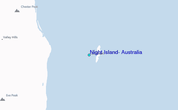
Use this relief map to navigate to tide stations, surf breaks and cities that are in the area of Night Island, Australia.
Other Nearby Locations' tide tables and tide charts to Night Island, Australia:
click location name for more details
 Surf breaks close to Night Island, Australia:
|
||
|---|---|---|
| Closest surf break | Tupira Right | 617 mi |
| Second closest surf break | Dolphin Heads | 657 mi |
| Third closest surf break | Eimeo Point | 657 mi |
| Fourth closest surf break | Forok Point | 661 mi |
| Fifth closest surf break | Lamberts Beach | 661 mi |


 Nearest
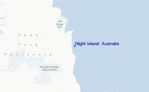