
| Distance / Altitude | Location | Report Date / Time | Live Weather | Wind | Gusts | Temp. | Visibility | Cloud |
|---|---|---|---|---|---|---|---|---|
| 10 km SW / 8 m | Ramrod Key (Florida) | 2026-07-26 08:32 local (2026/07/26 12:32 GMT) | dry | calm (0 km/h at 121) | 31°C | - | - - 0 | |
| 17 km SW / 5 m | Cudjoe Key (Florida) | 2026-07-26 09:17 local (2026/07/26 13:17 GMT) | dry | - (- km/h at ) | 31°C | - | - - 0 | |
| 21 km E / 3 m | BUOY-VCAF1 (Marine) | 2026-07-26 08:48 local (2026/07/26 12:48 GMT) | calm (2 km/h at 200) | 31°C | - | |||
| 22 km ESE / 3 m | BUOY-SMKF1 (Marine) | 2026-07-26 09:00 local (2026/07/26 13:00 GMT) | calm (4 km/h at 170) | 30°C | - | |||
| 26 km E / 2 m | Castle Rock (Colorado) | 2026-07-26 09:13 local (2026/07/26 13:13 GMT) | dry | calm (0 km/h at 158) | 31°C | - | - - 0 | |
| 27 km E / 217 m | Marathon Airport (Florida) | 2026-07-26 07:53 local (2026/07/26 11:53 GMT) | - | light winds from the S (6 km/h at 180) | 29°C | 16 | few | |
| 28 km E / 5 m | Marathon (Florida) | 2026-07-26 08:15 local (2026/07/26 12:15 GMT) | dry | calm (0 km/h at 224) | 31°C | - | - - 0 | |
| 37 km ENE / 1 m | Jolly Roger Travel Park wx (United States) | 2026-07-26 07:45 local (2026/07/26 11:45 GMT) | dry | calm (2 km/h at 265) | 29°C | - | - - 0 | |
| 38 km SW / 219 m | Key West Naval Air Station Airport (Florida) | 2026-07-26 07:53 local (2026/07/26 11:53 GMT) | - | calm (0 km/h at 0) | 29°C | 16 | few few | |
| 47 km SW / 218 m | Key West Airport (Florida) | 2026-07-26 07:53 local (2026/07/26 11:53 GMT) | Clear | calm (0 km/h at 0) | 29°C | 16 |
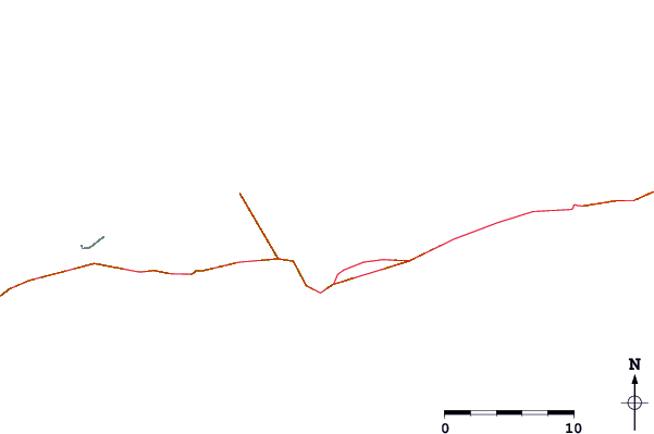
| Contours: | Roads & Rivers: | Select a
tide station / surf break / city |
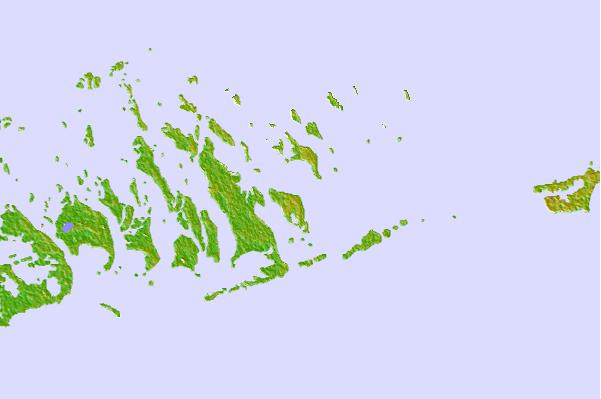
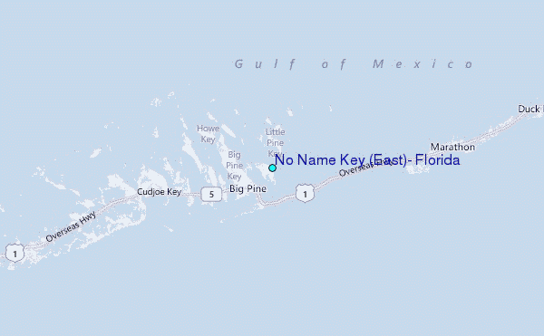
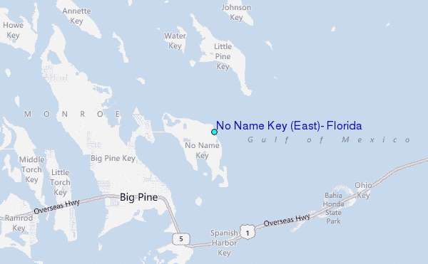
Use this relief map to navigate to tide stations, surf breaks and cities that are in the area of No Name Key (East), Florida.
Other Nearby Locations' tide tables and tide charts to No Name Key (East), Florida:
click location name for more details
 Surf breaks close to No Name Key (East), Florida:
|
||
|---|---|---|
| Closest surf break | Naples Pier | 99 mi |
| Second closest surf break | South Beach (Miami) | 105 mi |
| Third closest surf break | Fifth Street (Miami) | 106 mi |
| Fourth closest surf break | 21st Street (Miami) | 106 mi |
| Fifth closest surf break | Dunes Hotel (Miami) | 108 mi |


 Nearest
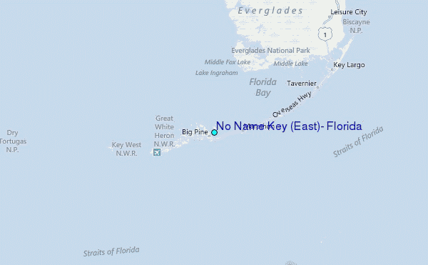