
| Distance / Altitude | Location | Report Date / Time | Live Weather | Wind | Gusts | Temp. | Visibility | Cloud |
|---|---|---|---|---|---|---|---|---|
| 70 km NE / 3 m | Haapai Lifuka (Tonga) | 2026-07-10 07:00 local (2026/07/09 18:00 GMT) | no report | - (- km/h at -) | 26°C | 20 | - | |
| 70 km NE / 3 m | Ha'apai Lifuka Island (Tonga) | 2026-07-10 07:00 local (2026/07/09 18:00 GMT) | no report | - (- km/h at -) | 26°C | 20 | - | |
| 113 km S / 41 m | Fua amotu (Tonga) | 2026-07-10 08:00 local (2026/07/09 19:00 GMT) | state of sky unchanged | wind obs. (13 kph from 160 degs) was rejected (- km/h at -) | 22°C | 20 | - - - | |
| 113 km S / 200 m | Fua Amotu Tonga Airport (Tonga) | 2026-07-10 07:00 local (2026/07/09 18:00 GMT) | Dry and partly cloudy | calm (4 km/h at 1) | 17°C | 10.0 | few scattered | |
| 206 km NNE / 70 m | Lupepau u (Tonga) | 2026-07-10 07:00 local (2026/07/09 18:00 GMT) | no report | - (- km/h at -) | 26°C | 20 | - | |
| 411 km WSW / 28 m | Ono -I -Lau (Fiji) | 2026-07-10 07:00 local (2026/07/09 18:00 GMT) | no report | wind obs. (15 kph from 330 degs) was rejected (- km/h at -) | 24°C | - | - | |
| 477 km W / 3 m | Lakemba Island (Fiji) | 2026-07-10 07:00 local (2026/07/09 18:00 GMT) | no report | wind obs. (7 kph from 160 degs) was rejected (- km/h at -) | 26°C | - | - - - | |
| 490 km NNE / 3 m | Keppel/Mata aho Airport (Tonga) | 2026-07-10 07:00 local (2026/07/09 18:00 GMT) | no report | - (- km/h at -) | 28°C | 20 | - | |
| 529 km ENE / 189 m | Alofi Airport (Samoa/polynesia) | 2026-07-10 07:30 local (2026/07/09 18:30 GMT) | - | light winds from the SW.(Wind varies from 180 to 250 degs) (11 km/h at 220) | 22°C | |||
| 552 km WNW / 52 m | Vanua Balavu (Fiji) | 2026-07-10 07:00 local (2026/07/09 18:00 GMT) | no report | light winds from the SSE (15 km/h at 160) | 25°C | - | - - - |
| Contours: | Roads & Rivers: | Select a
tide station / surf break / city |
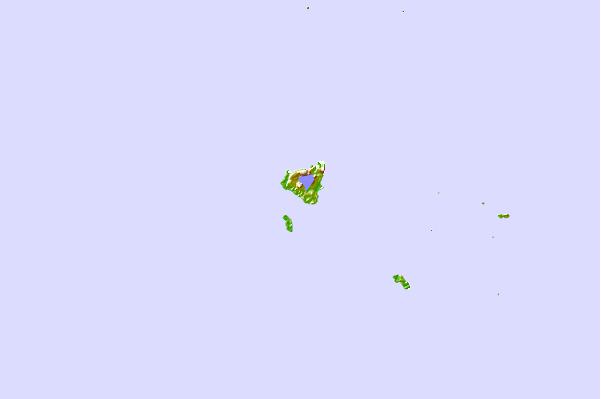
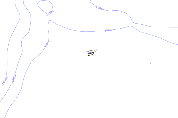
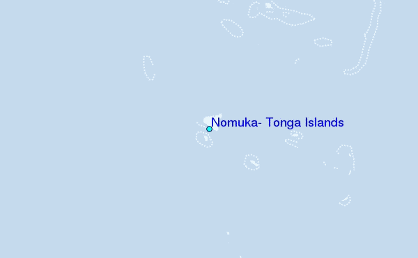
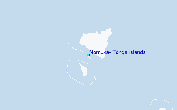
Use this relief map to navigate to tide stations, surf breaks and cities that are in the area of Nomuka, Tonga Islands.
Other Nearby Locations' tide tables and tide charts to Nomuka, Tonga Islands:
click location name for more details
 Surf breaks close to Nomuka, Tonga Islands:
|
||
|---|---|---|
| Closest surf break | Lighthouse | 64 mi |
| Second closest surf break | Fishtraps | 65 mi |
| Third closest surf break | The Bowl | 65 mi |
| Fourth closest surf break | Corners | 66 mi |
| Fifth closest surf break | The Peak | 67 mi |


 Nearest
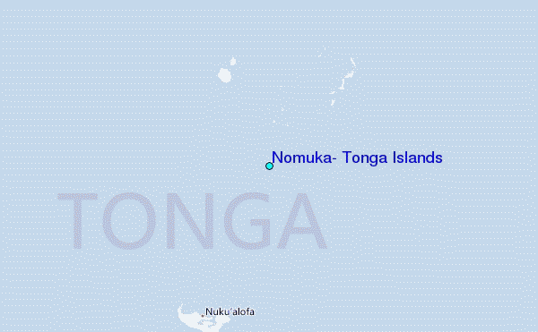