
| Distance / Altitude | Location | Report Date / Time | Live Weather | Wind | Gusts | Temp. | Visibility | Cloud |
|---|---|---|---|---|---|---|---|---|
| 281 km WNW / 2 m | Tarawa Kiribati Airport (Fiji/tonga/tuvalu) | 2026-07-10 07:00 local (2026/07/09 19:00 GMT) | Dry and partly cloudy | light winds from the WSW (11 km/h at 240) | 28°C | 10.0 | few scattered - | |
| 922 km NW / 3 m | Kalo- Majuro- Marshall Islands (Marine) | 2026-07-10 06:30 local (2026/07/09 18:30 GMT) | - (- km/h at -) | 26°C | - | |||
| 927 km NW / 169 m | Majuro Wso Airport (Marshall Islands) | 2026-07-10 07:53 local (2026/07/09 19:53 GMT) | Dry and partly cloudy | light winds from the N (7 km/h at 1) | — | 24 | few scattered broken | |
| 930 km NW / 208 m | Majuro Atoll Airport (Marshall Islands) | 2026-07-10 06:50 local (2026/07/09 18:50 GMT) | Dry and cloudy | calm (0 km/h at 0) | 28°C | 24 | few scattered overcast | |
| 937 km NW / 3 m | BUOY-52216 (Marine) | 2026-07-10 07:30 local (2026/07/09 19:30 GMT) | - (- km/h at -) | — | - | |||
| 1117 km SE / 154 m | Funafuti Tuvalu Airport (Fiji/tonga/tuvalu) | 2026-07-10 07:00 local (2026/07/09 19:00 GMT) | Dry and partly cloudy | light winds from the SSE (19 km/h at 160) | 28°C | 10.0 | few broken | |
| 1279 km WNW / 215 m | Kwajalein/buchol Airport (Marshall Islands) | 2026-07-10 07:40 local (2026/07/09 19:40 GMT) | Dry and partly cloudy | calm (0 km/h at 0) | 28°C | 16 | broken scattered broken | |
| 1279 km WNW / 3 m | BUOY-KWJP8 (Marine) | 2026-07-10 07:48 local (2026/07/09 19:48 GMT) | - (- km/h at -) | — | - | |||
| 1465 km SSW / 24 m | Santa Cruz Island (Solomon Islands) | 2026-07-10 07:00 local (2026/07/09 19:00 GMT) | light rain showers | wind obs. (11 kph from 90 degs) was rejected (- km/h at -) | 26°C | 20 | - - - | |
| 1623 km SW / 0 m | lightning 157km NNE of Auki (Solomon Islands) | 2026-07-10 06:33 local (2026/07/09 18:33 GMT) | Thunderstorm | (- km/h at -) | — |
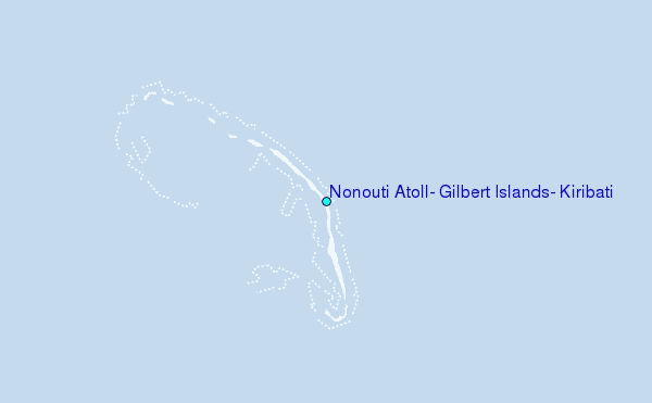
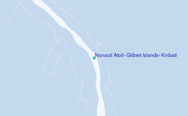
Choose Nonouti Atoll, Gilbert Islands, Kiribati Location Map Zoom:
| Contours: | Roads & Rivers: | Select a
tide station / surf break / city |
Use this relief map to navigate to tide stations, surf breaks and cities that are in the area of Nonouti Atoll, Gilbert Islands, Kiribati.
Other Nearby Locations' tide tables and tide charts to Nonouti Atoll, Gilbert Islands, Kiribati:
click location name for more details
 Surf breaks close to Nonouti Atoll, Gilbert Islands, Kiribati:
|
||
|---|---|---|
| Closest surf break | Naa | 190 mi |
| Second closest surf break | Sidedish | 896 mi |
| Third closest surf break | Walung | 897 mi |
| Fourth closest surf break | Utua Mamao (Atafu) | 1053 mi |
| Fifth closest surf break | Kia Island Reef | 1117 mi |


 Nearest
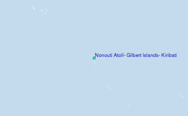