
| Distance / Altitude | Location | Report Date / Time | Live Weather | Wind | Gusts | Temp. | Visibility | Cloud |
|---|---|---|---|---|---|---|---|---|
| 3 km NNE / 117 m | Norfolk Island Aero (Australia) | 2026-07-24 11:00 local (2026/07/24 00:00 GMT) | no report | wind obs. (13 kph from 220 degs) was rejected (- km/h at -) | 17°C | - | - | |
| 6 km NW / 214 m | Norfolk Island Airport (Australia) | 2026-07-24 11:30 local (2026/07/24 00:30 GMT) | Dry and partly cloudy | moderate winds from the NW (20 km/h at 310) | 20°C | 10.0 | few scattered | |
| 719 km N / 104 m | Moue (Ile Des Pins) (New Caledonia) | 2026-07-24 11:00 local (2026/07/24 00:00 GMT) | no report | wind obs. (11 kph from 140 degs) was rejected (- km/h at -) | 18°C | 20 | - | |
| 752 km N / 47 m | Prony wx (New Caledonia) | 2026-07-24 11:22 local (2026/07/24 00:22 GMT) | - | calm (0 km/h at 0) | — | - | - - 0 | |
| 766 km NW / 17 m | CNC (New Caledonia) | 2026-07-24 12:00 local (2026/07/24 01:00 GMT) | - | wind obs. (9 kph from 128 degs) was rejected (- km/h at -) | 24°C | - | - - 0 | |
| 767 km NW / 71 m | Noumea (Nlle -Caledonie) (New Caledonia) | 2026-07-24 11:00 local (2026/07/24 00:00 GMT) | no report | wind obs. (11 kph from 60 degs) was rejected (- km/h at -) | 20°C | - | - | |
| 778 km NW / 200 m | Gadji (New Caledonia) | 2026-07-24 12:00 local (2026/07/24 01:00 GMT) | - | fresh winds from the SE (37 km/h at 126) | 22°C | - | - - 0 | |
| 788 km SE / 20 m | Aupouri (New Zealand) | 2026-07-24 11:00 local (2026/07/24 00:00 GMT) | Dry | moderate winds from the NW (24 km/h at 315) | 17°C | - | - - - | |
| 800 km NW / 218 m | La Tontouta International Airport, New Caledonia (Samoa/polynesia) | 2026-07-24 11:30 local (2026/07/24 00:30 GMT) | Dry and partly cloudy | light winds from the WSW.(Wind varies from 210 to 300 degs) (11 km/h at 250) | 25°C | 10.0 | scattered | |
| 800 km NW / 11 m | LA Tontouta (Nlle -Caledonie) (New Caledonia) | 2026-07-24 11:00 local (2026/07/24 00:00 GMT) | no report | calm (4 km/h at 80) | 17°C | 60 | - |
| Contours: | Roads & Rivers: | Select a
tide station / surf break / city |
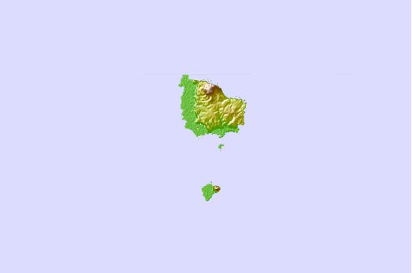
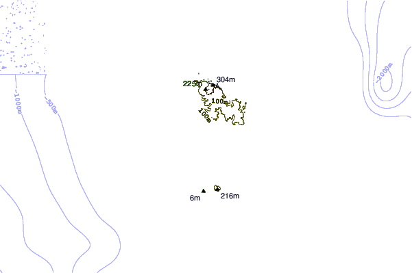
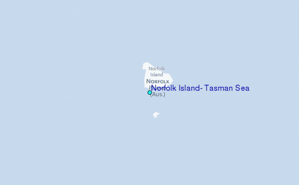
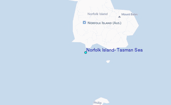
Use this relief map to navigate to tide stations, surf breaks and cities that are in the area of Norfolk Island, Tasman Sea.
Other Nearby Locations' tide tables and tide charts to Norfolk Island, Tasman Sea:
click location name for more details
 Surf breaks close to Norfolk Island, Tasman Sea:
|
||
|---|---|---|
| Closest surf break | Kingston | 1 mi |
| Second closest surf break | Anson Bay | 4 mi |
| Third closest surf break | Fausse Passe | 458 mi |
| Fourth closest surf break | Skateparks | 463 mi |
| Fifth closest surf break | Lighthouse Right | 464 mi |


 Nearest