
| Distance / Altitude | Location | Report Date / Time | Live Weather | Wind | Gusts | Temp. | Visibility | Cloud |
|---|---|---|---|---|---|---|---|---|
| 316 km SSE / 400 m | Mareeba (Australia) | 2026-06-22 15:36 local (2026/06/22 05:36 GMT) | dry | light winds from the S (8 km/h at 171) | 22°C | - | - - 0 | |
| 322 km SSE / 218 m | Cairns Airport (Australia) | 2026-06-22 14:30 local (2026/06/22 04:30 GMT) | Dry and cloudy | fresh winds from the SSE (30 km/h at 160) | 24°C | 10.0 | overcast overcast | |
| 368 km SSE / 140 m | Bellenden Ker wx (Australia) | 2026-06-22 15:32 local (2026/06/22 05:32 GMT) | dry | wind obs. (10 kph from 202 degs) was rejected (- km/h at -) | 23°C | - | - - 0 | |
| 471 km NW / 13 m | Horn Island Airport (Australia) | 2026-06-22 14:30 local (2026/06/22 04:30 GMT) | Dry and partly cloudy | fresh winds from the SE (33 km/h at 130) | 29°C | 10.0 | no cloud | |
| 515 km NW / 15 m | SHIP7796 (Marine) | 2026-06-22 14:00 local (2026/06/22 04:00 GMT) | - (- km/h at -) | 27°C | - km | |||
| 512 km NW / 3 m | SHIP1920 (Marine) | 2026-06-22 13:00 local (2026/06/22 03:00 GMT) | - (- km/h at -) | 29°C | - | |||
| 512 km NW / 15 m | SHIP1422 (Marine) | 2026-06-22 14:00 local (2026/06/22 04:00 GMT) | - (- km/h at -) | 27°C | - km | |||
| 512 km NW / 3 m | SHIP1492 (Marine) | 2026-06-22 13:00 local (2026/06/22 03:00 GMT) | - (- km/h at -) | 29°C | - | |||
| 512 km NW / 15 m | SHIP2122 (Marine) | 2026-06-22 13:00 local (2026/06/22 03:00 GMT) | - (- km/h at -) | 27°C | - km | |||
| 512 km NW / 3 m | SHIP2665 (Marine) | 2026-06-22 13:00 local (2026/06/22 03:00 GMT) | - (- km/h at -) | 29°C | - |
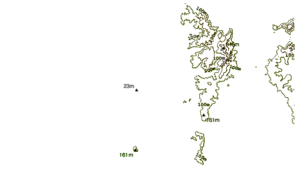
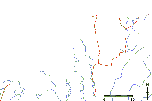
| Contours: | Roads & Rivers: | Select a
tide station / surf break / city |
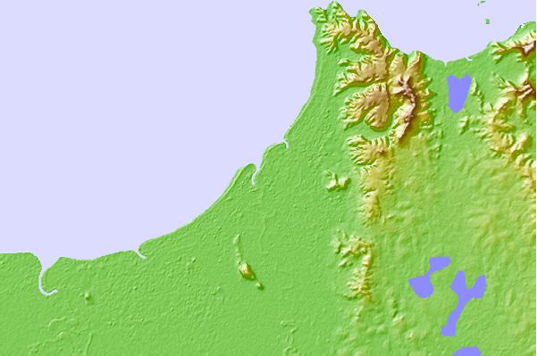
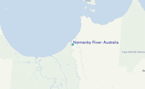
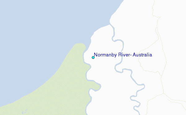
Use this relief map to navigate to tide stations, surf breaks and cities that are in the area of Normanby River, Australia.
Other Nearby Locations' tide tables and tide charts to Normanby River, Australia:
click location name for more details
 Surf breaks close to Normanby River, Australia:
|
||
|---|---|---|
| Closest surf break | Eimeo Point | 564 mi |
| Second closest surf break | Dolphin Heads | 565 mi |
| Third closest surf break | Lamberts Beach | 569 mi |
| Fourth closest surf break | North Wall Mackay Harbour Beach | 570 mi |
| Fifth closest surf break | South Wall Mackay Harbour | 571 mi |


 Nearest
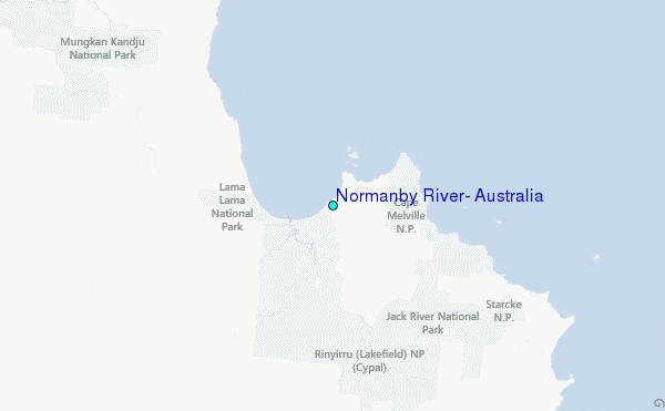