
| Distance / Altitude | Location | Report Date / Time | Live Weather | Wind | Gusts | Temp. | Visibility | Cloud |
|---|---|---|---|---|---|---|---|---|
| 32 km S / 224 m | Varanus Island (Australia) | 2026-06-09 10:00 local (2026/06/09 02:00 GMT) | - | light winds from the S (11 km/h at 180) | 25°C | - | no observation | |
| 57 km S / 7 m | BarrowIslandAirport (Australia) | 2026-06-09 10:00 local (2026/06/09 02:00 GMT) | Rain | wind obs. (13 kph from 160 degs) was rejected (- km/h at -) | 24°C | - | - no observation - | |
| 101 km SSE / 240 m | Mardie (Australia) | 2026-06-09 09:00 local (2026/06/09 01:00 GMT) | no report | wind obs. (7 kph from 250 degs) was rejected (- km/h at -) | 24°C | - | - | |
| 132 km S / 6 m | ThevenardIsland (Australia) | 2026-06-09 10:00 local (2026/06/09 02:00 GMT) | no report | light winds from the S (13 km/h at 170) | 22°C | - | - no observation - | |
| 137 km ESE / 6 m | KarrathaAero (Australia) | 2026-06-09 10:00 local (2026/06/09 02:00 GMT) | no report | light winds from the NNW (9 km/h at 330) | 22°C | - | - no observation - | |
| 138 km E / 30 m | Legendre Island (Australia) | 2026-06-09 10:00 local (2026/06/09 02:00 GMT) | no report | fresh winds from the NW (30 km/h at 320) | 22°C | - | - no observation - | |
| 149 km S / 4 m | Onslow Airport (Australia) | 2026-06-09 10:00 local (2026/06/09 02:00 GMT) | Clear skies | light winds from the SSE (11 km/h at 160) | 24°C | - | - no observation - | |
| 177 km ESE / 11 m | RoebourneAero (Australia) | 2026-06-09 10:00 local (2026/06/09 02:00 GMT) | no report | wind obs. (20 kph from 110 degs) was rejected (- km/h at -) | 24°C | - | - no observation - | |
| 254 km SSW / 214 m | Learmouth Airport (Australia) | 2026-06-09 09:30 local (2026/06/09 01:30 GMT) | Dry and cloudy | light winds from the S (11 km/h at 170) | 21°C | 10.0 | broken overcast | |
| 254 km SSW / 6 m | Learmonth Airport (Australia) | 2026-06-09 10:00 local (2026/06/09 02:00 GMT) | no report | light winds from the SE (9 km/h at 140) | 22°C | - | - no observation - |
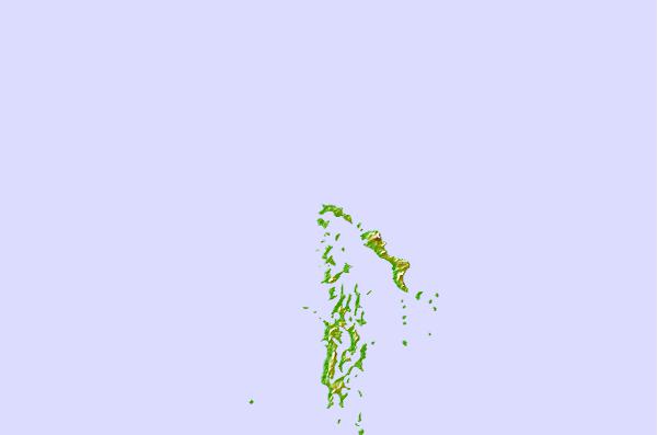
| Contours: | Roads & Rivers: | Select a
tide station / surf break / city |
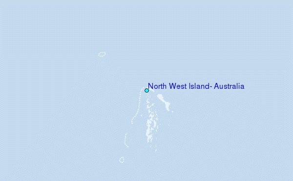
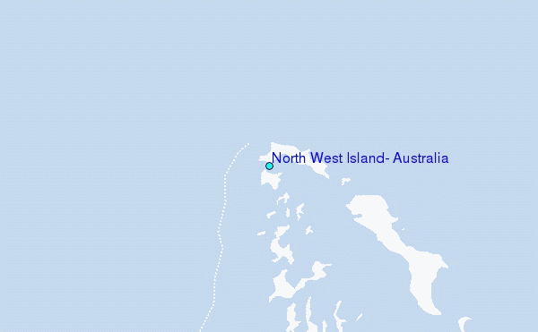
Use this relief map to navigate to tide stations, surf breaks and cities that are in the area of North West Island, Australia.
Other Nearby Locations' tide tables and tide charts to North West Island, Australia:
click location name for more details
 Surf breaks close to North West Island, Australia:
|
||
|---|---|---|
| Closest surf break | Dunes | 133 mi |
| Second closest surf break | Lighthouse Bombie | 142 mi |
| Third closest surf break | Gnaraloo | 267 mi |
| Fourth closest surf break | Turtles | 282 mi |
| Fifth closest surf break | Red Bluff | 286 mi |


 Nearest
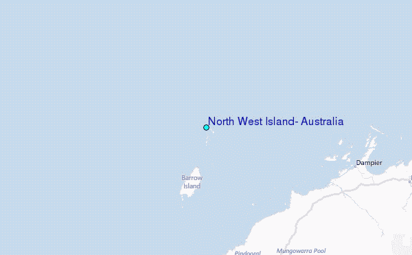