
| Distance / Altitude | Location | Report Date / Time | Live Weather | Wind | Gusts | Temp. | Visibility | Cloud |
|---|---|---|---|---|---|---|---|---|
| 98 km W / 229 m | Savoonga Airport (Alaska) | 2026-06-23 18:14 local (2026/06/24 02:14 GMT) | - | light winds from the N (7 km/h at 360) | 6°C | 16 | few | |
| 114 km E / 15 m | SHIP4162 (Marine) | 2026-06-23 17:00 local (2026/06/24 01:00 GMT) | - (- km/h at -) | — | - km | |||
| 114 km E / 15 m | SHIP1672 (Marine) | 2026-06-23 17:00 local (2026/06/24 01:00 GMT) | - (- km/h at -) | — | - km | |||
| 114 km E / 3 m | SHIP8103 (Marine) | 2026-06-23 17:00 local (2026/06/24 01:00 GMT) | - (- km/h at -) | — | - | |||
| 114 km E / 15 m | SHIP2968 (Marine) | 2026-06-23 17:00 local (2026/06/24 01:00 GMT) | - (- km/h at -) | — | - km | |||
| 114 km E / 15 m | SHIP7059 (Marine) | 2026-06-23 17:00 local (2026/06/24 01:00 GMT) | - (- km/h at -) | — | - km | |||
| 114 km E / 3 m | SHIP7699 (Marine) | 2026-06-23 17:00 local (2026/06/24 01:00 GMT) | - (- km/h at -) | — | - | |||
| 114 km E / 15 m | SHIP4546 (Marine) | 2026-06-23 17:00 local (2026/06/24 01:00 GMT) | - (- km/h at -) | — | - km | |||
| 118 km E / 3 m | SHIP8587 (Marine) | 2026-06-23 18:00 local (2026/06/24 02:00 GMT) | - (- km/h at -) | — | - | |||
| 118 km E / 3 m | SHIP8385 (Marine) | 2026-06-23 18:00 local (2026/06/24 02:00 GMT) | - (- km/h at -) | — | - |
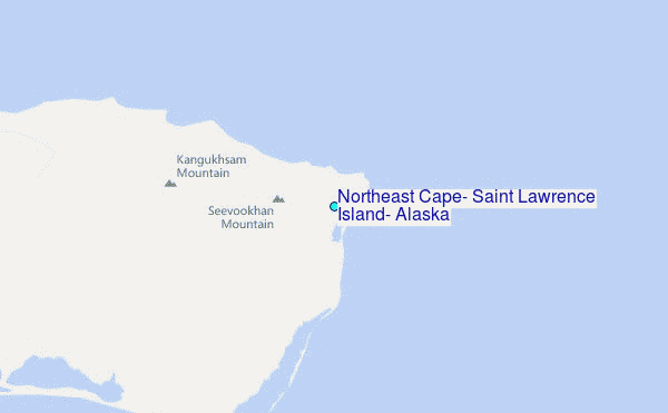
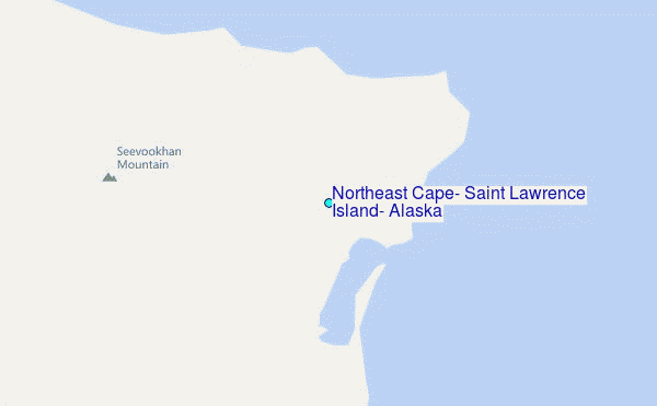
Choose Northeast Cape, Saint Lawrence Island, Alaska Location Map Zoom:
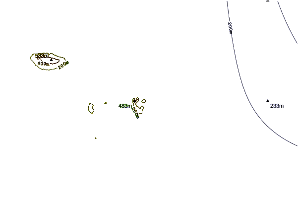
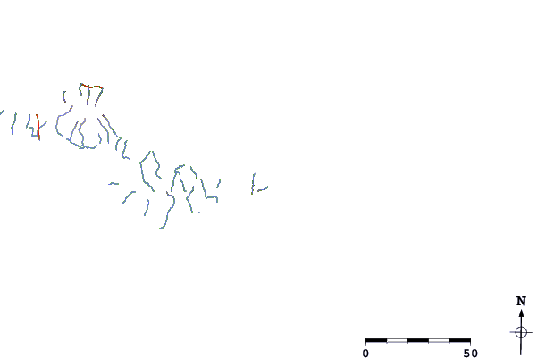
| Contours: | Roads & Rivers: | Select a
tide station / surf break / city |
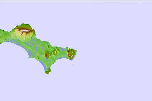
Use this relief map to navigate to tide stations, surf breaks and cities that are in the area of Northeast Cape, Saint Lawrence Island, Alaska.
Other Nearby Locations' tide tables and tide charts to Northeast Cape, Saint Lawrence Island, Alaska:
click location name for more details
 Surf breaks close to Northeast Cape, Saint Lawrence Island, Alaska:
|
||
|---|---|---|
| Closest surf break | Bird Point (Tidal Bore) | 588 mi |
| Second closest surf break | Termination Point | 667 mi |
| Third closest surf break | Monashka Bay | 667 mi |
| Fourth closest surf break | Mill Bay | 670 mi |
| Fifth closest surf break | Fossil Beach Kodiak | 688 mi |


 Nearest
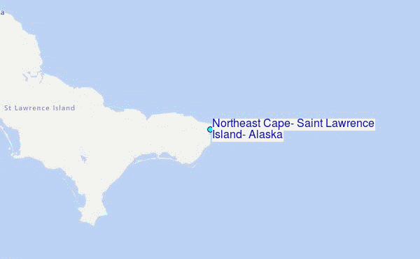