
| Distance / Altitude | Location | Report Date / Time | Live Weather | Wind | Gusts | Temp. | Visibility | Cloud |
|---|---|---|---|---|---|---|---|---|
| 2 km E / 206 m | Nouadhibou Airport (Mauritania) | 2026-07-09 18:00 local (2026/07/09 18:00 GMT) | Dry and partly cloudy | moderate winds from the NNW (28 km/h at 330) | 24°C | 8.0 | no significant cloud | |
| 312 km SSE / 4 m | Nouakchott/Oumto Airport (Mauritania) | 2026-07-09 18:30 local (2026/07/09 18:30 GMT) | Dry and partly cloudy | moderate winds from the W (24 km/h at 270) | 27°C | 8.0 | broken - - | |
| 331 km NNE / 11 m | Dakhla Airport (Morocco) | 2026-07-09 18:00 local (2026/07/09 18:00 GMT) | Dry and partly cloudy | strong winds from the NNE (43 km/h at 30) | 24°C | 8.0 | no significant cloud | |
| 338 km NNE / 0 m | La Tour d'Eole (Western Sahara) | 2026-07-09 19:00 local (2026/07/09 19:00 GMT) | - | wind obs. (52 kph from 106 degs) was rejected (- km/h at -) | 23°C | - | - - 0 | |
| 471 km W / 15 m | SHIP6462 (Marine) | 2026-07-09 18:00 local (2026/07/09 18:00 GMT) | fresh winds from the NNE (35.28 km/h at 20) | 15°C | - km | |||
| 471 km W / 15 m | SHIP3895 (Marine) | 2026-07-09 18:00 local (2026/07/09 18:00 GMT) | moderate winds from the NE (25.92 km/h at 50) | 15°C | - km | |||
| 471 km W / 15 m | SHIP2302 (Marine) | 2026-07-09 18:00 local (2026/07/09 18:00 GMT) | fresh winds from the NNE (35.28 km/h at 20) | 15°C | - km | |||
| 471 km W / 3 m | SHIP2827 (Marine) | 2026-07-09 18:00 local (2026/07/09 18:00 GMT) | moderate winds from the NE (26 km/h at 50) | 24°C | - | |||
| 471 km W / 3 m | SHIP770 (Marine) | 2026-07-09 18:00 local (2026/07/09 18:00 GMT) | fresh winds from the NNE (35 km/h at 20) | 24°C | - | |||
| 471 km W / 3 m | SHIP207 (Marine) | 2026-07-09 18:00 local (2026/07/09 18:00 GMT) | fresh winds from the NNE (35 km/h at 20) | 24°C | - |
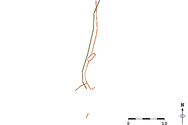
| Contours: | Roads & Rivers: | Select a
tide station / surf break / city |
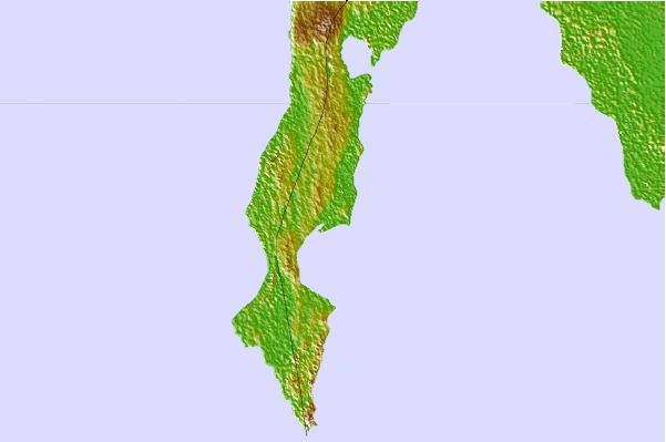
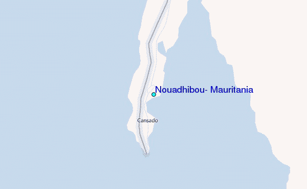
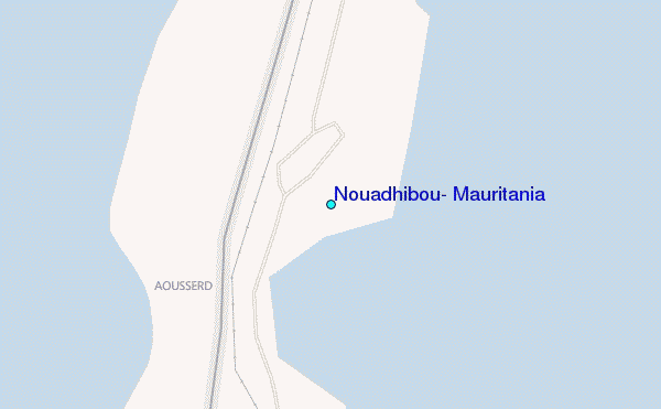
Use this relief map to navigate to tide stations, surf breaks and cities that are in the area of Nouadhibou, Mauritania.
Other Nearby Locations' tide tables and tide charts to Nouadhibou, Mauritania:
click location name for more details
 Surf breaks close to Nouadhibou, Mauritania:
|
||
|---|---|---|
| Closest surf break | Bing's Point | 170 mi |
| Second closest surf break | Le Wharf | 209 mi |
| Third closest surf break | Oumlabouir | 209 mi |
| Fourth closest surf break | The Point | 237 mi |
| Fifth closest surf break | Cape Boujdour | 394 mi |


 Nearest
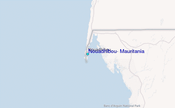