
| Distance / Altitude | Location | Report Date / Time | Live Weather | Wind | Gusts | Temp. | Visibility | Cloud |
|---|---|---|---|---|---|---|---|---|
| 36 km SW / 9 m | Honiara/Henderson Airport (Solomon Islands) | 2026-07-10 09:00 local (2026/07/09 22:00 GMT) | continuous light rain | light winds from the S (7 km/h at 180) | 24°C | 10.0 | few few broken | |
| 45 km SW / 182 m | Honiara (Solomon Islands) | 2026-07-10 09:00 local (2026/07/09 22:00 GMT) | moderate to heavy rain showers | moderate winds from the S (22 km/h at 180) | 24°C | 10 | - | |
| 70 km NE / 11 m | Auki (Solomon Islands) | 2026-07-10 09:00 local (2026/07/09 22:00 GMT) | distant precipitation but not falling at station | calm (4 km/h at 90) | — | 10 | - - - | |
| 253 km WSW / 2 m | Penrhyn Island (Samoa) | 2026-07-10 08:00 local (2026/07/09 21:00 GMT) | Dry and partly cloudy | calm (4 km/h at 240) | 29°C | 10.0 | scattered | |
| 355 km W / 6 m | Munda-New Georgia (Solomon Islands) | 2026-07-10 09:00 local (2026/07/09 22:00 GMT) | distant precipitation but not falling at station | - (- km/h at -) | 25°C | 4000 | - - - | |
| 523 km W / 3 m | Taro Island (Solomon Islands) | 2026-07-10 09:00 local (2026/07/09 22:00 GMT) | distant precipitation but not falling at station | wind obs. (11 kph from 140 degs) was rejected (- km/h at -) | 26°C | 20 | - | |
| 618 km ESE / 24 m | Santa Cruz Island (Solomon Islands) | 2026-07-10 09:00 local (2026/07/09 22:00 GMT) | light rain showers | wind obs. (11 kph from 90 degs) was rejected (- km/h at -) | 26°C | 20 | - - - | |
| 933 km ESE / 18 m | Sola (Vanua Lava Island) (Vanuatu) | 2026-07-10 08:00 local (2026/07/09 21:00 GMT) | Dry and partly cloudy | calm (0 km/h at 0) | 27°C | 10.0 | broken - - | |
| 1016 km SE / 44 m | Santo-Pekoa Airport (Vanuatu) | 2026-07-10 08:00 local (2026/07/09 21:00 GMT) | Dry and partly cloudy | light winds from the SE (11 km/h at 140) | 22°C | 10.0 | few broken | |
| 1016 km SE / 44 m | Pekoa Airport/Santo (Vanuatu) | 2026-07-10 08:00 local (2026/07/09 21:00 GMT) | Dry and partly cloudy | light winds from the SE (11 km/h at 140) | 22°C | 10.0 | few broken |
| Contours: | Roads & Rivers: | Select a
tide station / surf break / city |
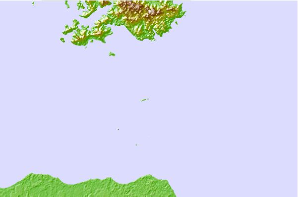
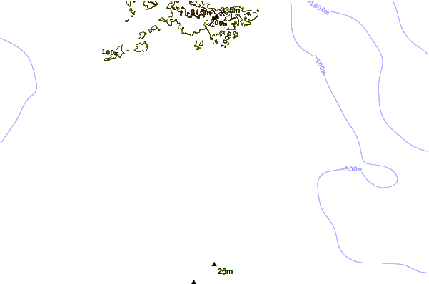
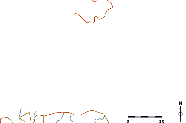
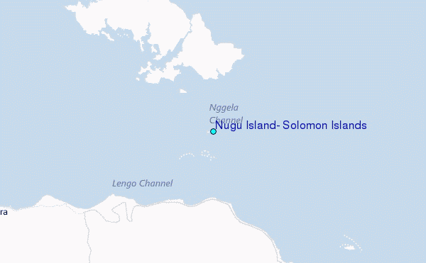
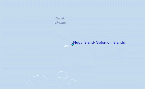
Use this relief map to navigate to tide stations, surf breaks and cities that are in the area of Nugu Island, Solomon Islands.
Other Nearby Locations' tide tables and tide charts to Nugu Island, Solomon Islands:
click location name for more details
 Surf breaks close to Nugu Island, Solomon Islands:
|
||
|---|---|---|
| Closest surf break | Coves | 217 mi |
| Second closest surf break | Kundu Kundu | 222 mi |
| Third closest surf break | Lavata | 223 mi |
| Fourth closest surf break | Mbirimbiri | 226 mi |
| Fifth closest surf break | Skull Island | 227 mi |


 Nearest
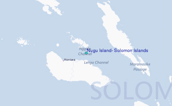