
| Distance / Altitude | Location | Report Date / Time | Live Weather | Wind | Gusts | Temp. | Visibility | Cloud |
|---|---|---|---|---|---|---|---|---|
| 9 km S / 4 m | Seaside Park- NJ (United States) | 2026-08-03 12:00 local (2026/08/03 16:00 GMT) | - | strong winds from the SSW (41 km/h at 205) | 25°C | - | - - 0 | |
| 20 km NW / 219 m | Belmar/Farmdale Airport (New Jersey) | 2026-08-03 10:56 local (2026/08/03 14:56 GMT) | Moderate rain | light winds from the SSW.(Wind varies from 005 to 012 degs) (11 km/h at 210) | — | 14 | broken broken overcast | |
| 21 km SW / 25 m | Toms River (New jersey) | 2026-08-03 10:56 local (2026/08/03 14:56 GMT) | Moderate rain | light winds from the SSW.(Wind varies from 004 to 017 degs) (15 km/h at 210) | — | 16 | overcast | |
| 31 km WNW / 40 m | lightning 6km SSW of West Freehold (United States) | 2026-08-03 09:31 local (2026/08/03 13:31 GMT) | Thunderstorm | (- km/h at -) | — | |||
| 35 km SE / 3 m | Barnegat- NJ (Marine) | 2026-08-03 12:00 local (2026/08/03 16:00 GMT) | - (- km/h at -) | — | - | |||
| 44 km WSW / 218 m | Wrightst/Mcguire Airport (New Jersey) | 2026-08-03 11:30 local (2026/08/03 15:30 GMT) | Moderate rain | light winds from the SSW (15 km/h at 210) | 24°C | 10 | broken overcast | |
| 49 km N / 11 m | Hazlet (New Jersey) | 2026-08-03 12:15 local (2026/08/03 16:15 GMT) | - | - (- km/h at ) | — | - | - - 0 | |
| 53 km NE / 3 m | New York Harbour Buoy (Marine) | 2026-08-03 12:00 local (2026/08/03 16:00 GMT) | fresh winds from the SW (29 km/h at 220) | 24°C | - | |||
| 54 km N / 3 m | BUOY-SDHN4 (Marine) | 2026-08-03 11:30 local (2026/08/03 15:30 GMT) | light winds from the SW (17 km/h at 230) | 24°C | - | |||
| 60 km SSW / 3 m | BUOY-JCRN4 (Marine) | 2026-08-03 11:30 local (2026/08/03 15:30 GMT) | light winds from the SSE (13 km/h at 150) | 24°C | - |
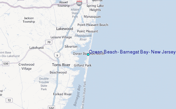
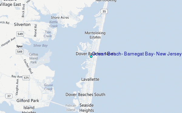
Choose Ocean Beach, Barnegat Bay, New Jersey Location Map Zoom:
| Contours: | Roads & Rivers: | Select a
tide station / surf break / city |
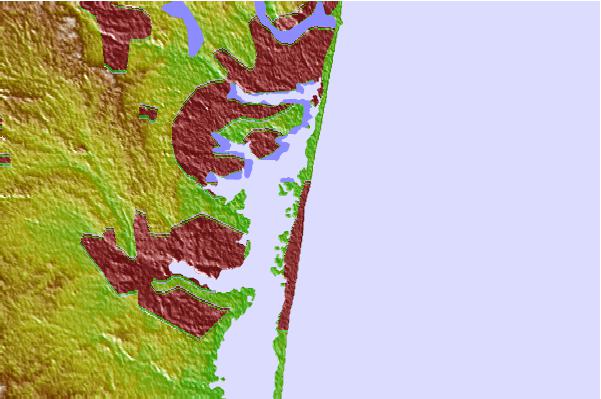
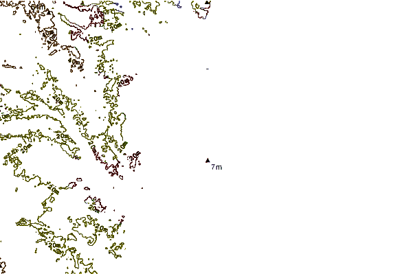
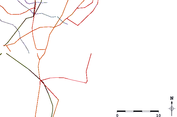
Use this relief map to navigate to tide stations, surf breaks and cities that are in the area of Ocean Beach, Barnegat Bay, New Jersey.
Other Nearby Locations' tide tables and tide charts to Ocean Beach, Barnegat Bay, New Jersey:
click location name for more details
 Surf breaks close to Ocean Beach, Barnegat Bay, New Jersey:
|
||
|---|---|---|
| Closest surf break | Seacrest Drive | 0 mi |
| Second closest surf break | Lavallette | 1 mi |
| Third closest surf break | Brick Beach | 2 mi |
| Fourth closest surf break | Normandy Beach - 7th Street | 2 mi |
| Fifth closest surf break | Seaside Heights/Casino Pier | 3 mi |


 Nearest
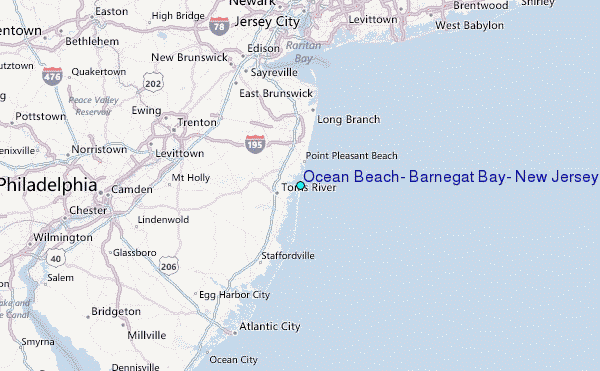