
| Distance / Altitude | Location | Report Date / Time | Live Weather | Wind | Gusts | Temp. | Visibility | Cloud |
|---|---|---|---|---|---|---|---|---|
| 129 km SW / 3 m | Western Aleutians Buoy (Marine) | 2026-06-23 17:50 local (2026/06/24 02:50 GMT) | light winds from the E (18 km/h at 90) | 6°C | - | |||
| 139 km ENE / 506 m | Adak Naval Air Station Airport (Alaska) | 2026-06-23 17:10 local (2026/06/24 02:10 GMT) | Dry and cloudy | calm (0 km/h at 0) | 8°C | 16 | broken overcast | |
| 139 km ENE / 3 m | BUOY-ADKA2 (Marine) | 2026-06-23 17:48 local (2026/06/24 02:48 GMT) | light winds from the SE (17 km/h at 140) | — | - | |||
| 311 km ENE / 211 m | Atka Airport (Alaska) | 2026-06-23 16:56 local (2026/06/24 01:56 GMT) | Light rain | light winds from the ESE (17 km/h at 120) | 8°C | 16 | overcast | |
| 313 km ENE / 3 m | BUOY-ATKA2 (Marine) | 2026-06-23 17:48 local (2026/06/24 02:48 GMT) | light winds from the SSE (15 km/h at 150) | — | - | |||
| 448 km E / 3 m | Central Aleutians Buoy (Marine) | 2026-06-23 17:50 local (2026/06/24 02:50 GMT) | fresh winds from the E (29 km/h at 100) | 7°C | - | |||
| 512 km W / 218 m | Eareckson/Shemya Airport (Alaska) | 2026-06-23 16:59 local (2026/06/24 01:59 GMT) | Dry and cloudy | moderate winds from the ESE (24 km/h at 110) | 9°C | 16 | overcast | |
| 560 km WNW / 3 m | BUOY-46070 (Marine) | 2026-06-23 17:50 local (2026/06/24 02:50 GMT) | light winds from the ENE (18 km/h at 70) | 6°C | - | |||
| 585 km SE / 15 m | SHIP7020 (Marine) | 2026-06-23 16:00 local (2026/06/24 01:00 GMT) | - (- km/h at -) | — | - km | |||
| 585 km SE / 15 m | SHIP1621 (Marine) | 2026-06-23 16:00 local (2026/06/24 01:00 GMT) | - (- km/h at -) | — | - km |
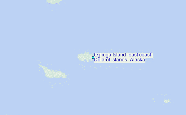
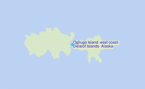
Choose Ogliuga Island (east coast), Delarof Islands, Alaska Location Map Zoom:
| Contours: | Roads & Rivers: | Select a
tide station / surf break / city |
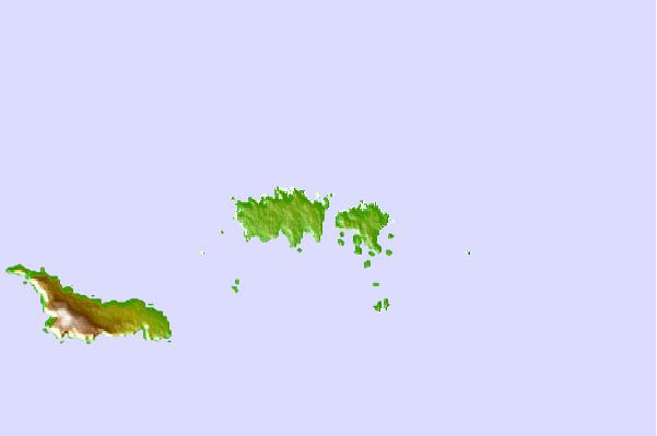
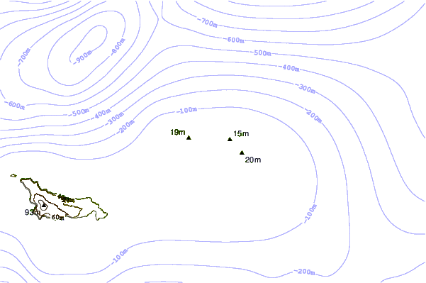
Use this relief map to navigate to tide stations, surf breaks and cities that are in the area of Ogliuga Island (east coast), Delarof Islands, Alaska.
Other Nearby Locations' tide tables and tide charts to Ogliuga Island (east coast), Delarof Islands, Alaska:
click location name for more details
 Surf breaks close to Ogliuga Island (east coast), Delarof Islands, Alaska:
|
||
|---|---|---|
| Closest surf break | Khalaktyrsky Beach | 953 mi |
| Second closest surf break | Fossil Beach Kodiak | 1120 mi |
| Third closest surf break | Monashka Bay | 1122 mi |
| Fourth closest surf break | Termination Point | 1123 mi |
| Fifth closest surf break | Mill Bay | 1125 mi |


 Nearest
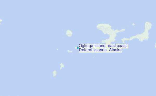