
| Distance / Altitude | Location | Report Date / Time | Live Weather | Wind | Gusts | Temp. | Visibility | Cloud |
|---|---|---|---|---|---|---|---|---|
| 4 km WNW / 217 m | Oxnard Airport (California) | 2026-06-18 22:51 local (2026/06/19 05:51 GMT) | Dry and cloudy | light winds from the WNW (19 km/h at 290) | 16°C | 16 | overcast | |
| 9 km SE / 217 m | Point Mugu Naval Air Station Airport (California) | 2026-06-18 22:55 local (2026/06/19 05:55 GMT) | Dry and cloudy | light winds from the WNW (9 km/h at 290) | 16°C | 16 | overcast | |
| 10 km ENE / 216 m | Camarillo Airport (California) | 2026-06-18 22:55 local (2026/06/19 05:55 GMT) | Dry and cloudy | light winds from the WSW (11 km/h at 250) | 17°C | 16 | overcast | |
| 46 km S / 3 m | Santa Monica Basin Buoy (Marine) | 2026-06-19 00:10 local (2026/06/19 07:10 GMT) | - (- km/h at -) | — | - | |||
| 54 km W / 3 m | BUOY-NTBC1 (Marine) | 2026-06-18 23:36 local (2026/06/19 06:36 GMT) | light winds from the WSW (9 km/h at 240) | 16°C | - | |||
| 57 km ESE / 3 m | BUOY-46268 (Marine) | 2026-06-19 00:00 local (2026/06/19 07:00 GMT) | - (- km/h at -) | — | - | |||
| 59 km SSW / 3 m | Santa Cruz Basin- CA (Marine) | 2026-06-19 00:26 local (2026/06/19 07:26 GMT) | - (- km/h at -) | 16°C | - | |||
| 60 km NW / 1410 m | Reedley Airport (California) (California) | 2026-06-18 23:35 local (2026/06/19 06:35 GMT) | Clear | wind obs. (11 kph from 340 degs) was rejected (- km/h at -) | 24°C | 16 | ||
| 60 km SE / 3 m | Santa Monica Bay- CA (Marine) | 2026-06-19 00:26 local (2026/06/19 07:26 GMT) | - (- km/h at -) | — | - | |||
| 62 km WSW / 3 m | East Santa Barbara Buoy (Marine) | 2026-06-19 00:10 local (2026/06/19 07:10 GMT) | moderate winds from the W (22 km/h at 260) | 16°C | - |
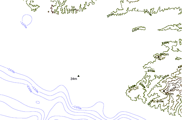
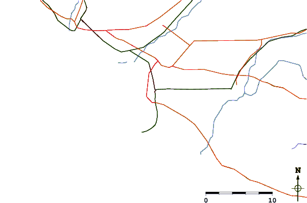
| Contours: | Roads & Rivers: | Select a
tide station / surf break / city |
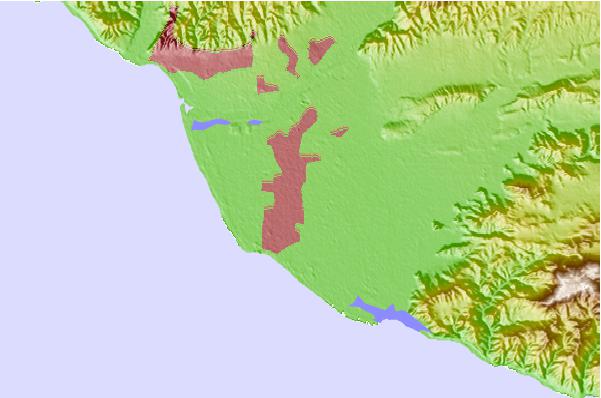
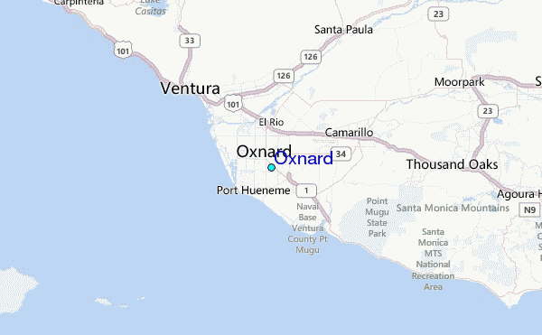
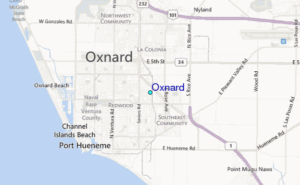
Use this relief map to navigate to tide stations, surf breaks and cities that are in the area of Oxnard.
Other Nearby Locations' tide tables and tide charts to Oxnard:
click location name for more details
 Surf breaks close to Oxnard:
|
||
|---|---|---|
| Closest surf break | Ormond Beach | 3 mi |
| Second closest surf break | Hollywood Beach | 4 mi |
| Third closest surf break | Port Hueneme Beach Park | 4 mi |
| Fourth closest surf break | Silver Strand | 4 mi |
| Fifth closest surf break | Arnold | 4 mi |


 Nearest
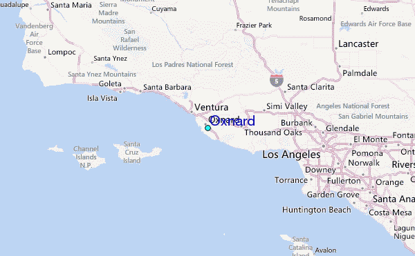