
| Distance / Altitude | Location | Report Date / Time | Live Weather | Wind | Gusts | Temp. | Visibility | Cloud |
|---|---|---|---|---|---|---|---|---|
| 13 km S / 9 m | Ilo Airport (Peru) | 2026-07-09 13:00 local (2026/07/09 18:00 GMT) | Dry and partly cloudy | light winds from the SSW (13 km/h at 200) | 19°C | 10.0 | scattered | |
| 124 km ESE / 700 m | Tacna/Coronel FAP Carlos Ciriani Santa Rosa International Airport (Peru) | 2026-07-09 13:00 local (2026/07/09 18:00 GMT) | - | light winds from the SSW (7 km/h at 200) | 20°C | 10.0 | few | |
| 135 km SE / 211 m | Arica/Chacalluta Airport (Chile) | 2026-07-09 13:00 local (2026/07/09 18:00 GMT) | Dry and partly cloudy | light winds from the SW.(Wind varies from 200 to 260 degs) (15 km/h at 230) | 19°C | 10.0 | scattered | |
| 136 km SE / 52 m | Arica (Chile) | 2026-07-09 13:00 local (2026/07/09 18:00 GMT) | no report | light winds from the SSW (18 km/h at 200) | 16°C | - | - | |
| 142 km N / 2727 m | Arequipa/Rodriguez Ballon Airport (Peru) | 2026-07-09 13:00 local (2026/07/09 18:00 GMT) | - | light winds from the W.(Wind varies from 220 to 300 degs) (11 km/h at 260) | — | 0.0 | ||
| 148 km SE / 77 m | Defensa Civil- Arica (Chile) | 2026-07-09 13:00 local (2026/07/09 18:00 GMT) | no report | light winds from the SSW (14 km/h at 210) | 16°C | - | - | |
| 200 km ESE / 3591 m | Putre (Chile) | 2026-07-09 13:00 local (2026/07/09 18:00 GMT) | no report | wind obs. (36 kph from 80 degs) was rejected (- km/h at -) | 7°C | - | - | |
| 266 km NNE / 3804 m | Juliaca (Peru) | 2026-07-09 13:00 local (2026/07/09 18:00 GMT) | - | light winds from the ESE (7 km/h at 110) | 16°C | 10.0 | few | |
| 266 km NNE / 3804 m | Juliaca Airport (Peru) | 2026-07-09 13:00 local (2026/07/09 18:00 GMT) | - | light winds from the ESE (7 km/h at 110) | 16°C | 10.0 | few | |
| 347 km SSE / 215 m | Iquique/Diego Aracena Airport (Chile) | 2026-07-09 13:00 local (2026/07/09 18:00 GMT) | no report | light winds from the W.(Wind varies from 230 to 290 degs) (19 km/h at 260) | — | 0.0 | - - - |
| Contours: | Roads & Rivers: | Select a
tide station / surf break / city |
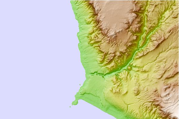
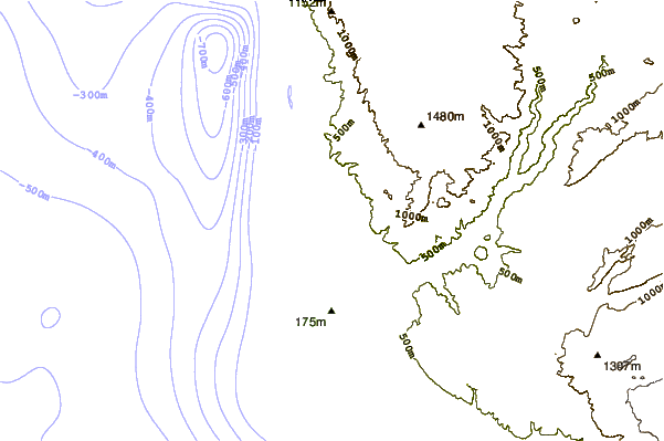
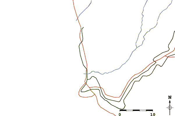
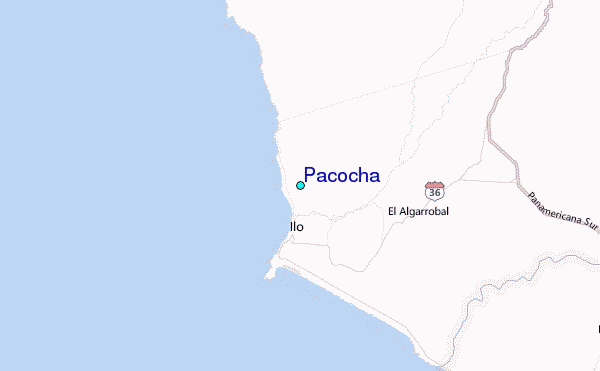
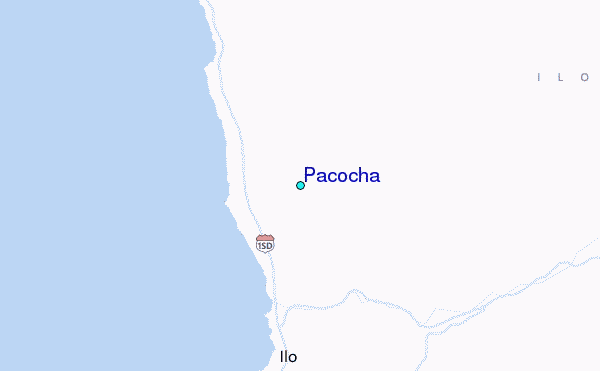
Use this relief map to navigate to tide stations, surf breaks and cities that are in the area of Pacocha.
Other Nearby Locations' tide tables and tide charts to Pacocha:
click location name for more details
 Surf breaks close to Pacocha:
|
||
|---|---|---|
| Closest surf break | El Olon de Ilo | 2 mi |
| Second closest surf break | Piedras Negras | 3 mi |
| Third closest surf break | Punta Bombon | 37 mi |
| Fourth closest surf break | Caleta Sama | 41 mi |
| Fifth closest surf break | Caleta Mejia | 50 mi |


 Nearest
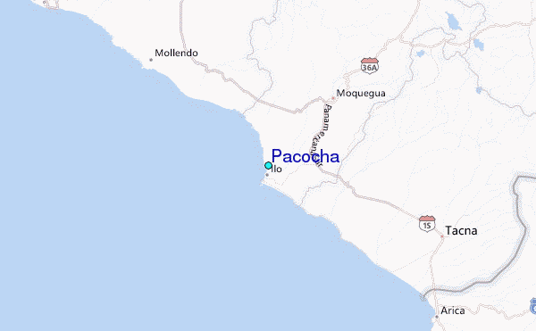