
| Distance / Altitude | Location | Report Date / Time | Live Weather | Wind | Gusts | Temp. | Visibility | Cloud |
|---|---|---|---|---|---|---|---|---|
| 2 km S / 7 m | Palo Alto (California) | 2026-06-15 00:37 local (2026/06/15 07:37 GMT) | dry | calm (2 km/h at 315) | 17°C | - | - - 0 | |
| 5 km S / 14 m | Castro City wx (United States) | 2026-06-15 00:46 local (2026/06/15 07:46 GMT) | dry | calm (2 km/h at 4) | 17°C | - | - - 0 | |
| 6 km SSW / 25 m | Stanford (California) | 2026-06-15 01:01 local (2026/06/15 08:01 GMT) | dry | calm (0 km/h at 138) | 16°C | - | - - 0 | |
| 7 km ESE / 217 m | Moffett Federal Airfield Airport (California) | 2026-06-15 00:35 local (2026/06/15 07:35 GMT) | Dry and cloudy | light winds from the N (17 km/h at 360) | 17°C | 16 | overcast | |
| 7 km W / 12 m | Lindenwood wx (United States) | 2026-06-15 01:05 local (2026/06/15 08:05 GMT) | dry | calm (2 km/h at 312) | 14°C | - | - - 0 | |
| 7 km WSW / 22 m | Menlo Park (California) | 2026-06-15 00:02 local (2026/06/15 07:02 GMT) | dry | calm (0 km/h at 195) | 15°C | - | - - 0 | |
| 8 km W / 8 m | Atherton (California) | 2026-06-15 00:37 local (2026/06/15 07:37 GMT) | dry | calm (0 km/h at 127) | 15°C | - | - - 0 | |
| 9 km SSE / 39 m | Sunnyvale wx (United States) | 2026-06-15 00:32 local (2026/06/15 07:32 GMT) | dry | calm (0 km/h at 236) | 17°C | - | - - 0 | |
| 11 km WSW / 13 m | Lloyden Park wx (United States) | 2026-06-15 00:23 local (2026/06/15 07:23 GMT) | dry | calm (2 km/h at 0) | 16°C | - | - - 0 | |
| 11 km S / 73 m | Los Altos (California) | 2026-06-15 00:29 local (2026/06/15 07:29 GMT) | dry | calm (0 km/h at 56) | 17°C | - | - - 0 |
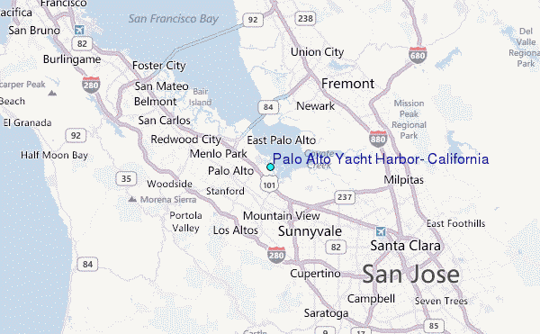
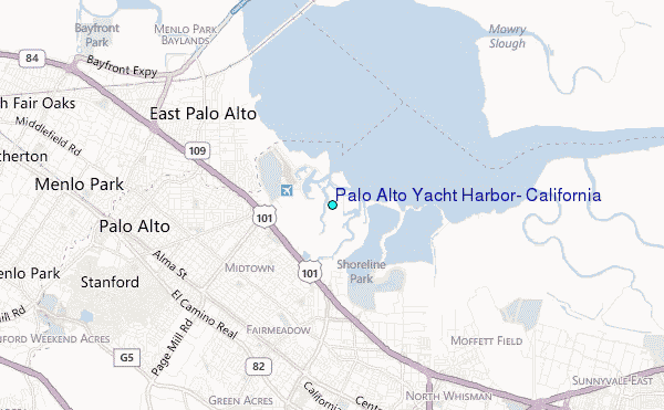
Choose Palo Alto Yacht Harbor, California Location Map Zoom:
| Contours: | Roads & Rivers: | Select a
tide station / surf break / city |
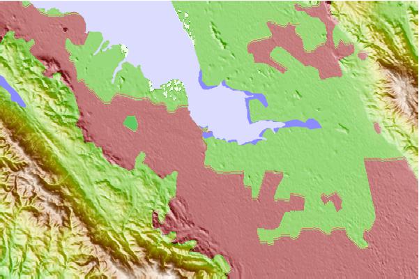
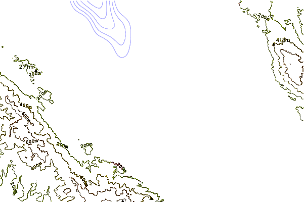
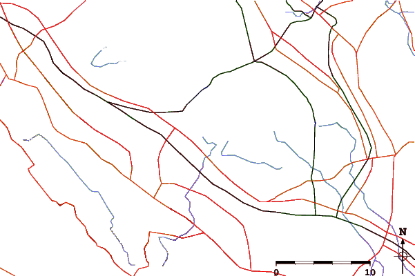
Use this relief map to navigate to tide stations, surf breaks and cities that are in the area of Palo Alto Yacht Harbor, California.
Other Nearby Locations' tide tables and tide charts to Palo Alto Yacht Harbor, California:
click location name for more details
 Surf breaks close to Palo Alto Yacht Harbor, California:
|
||
|---|---|---|
| Closest surf break | Francis Beach | 19 mi |
| Second closest surf break | San Gregorio State Beach | 19 mi |
| Third closest surf break | Pomponio State Beach | 20 mi |
| Fourth closest surf break | Pescadero State Beach | 21 mi |
| Fifth closest surf break | Princeton Breakwater | 21 mi |


 Nearest
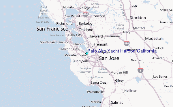