
| Distance / Altitude | Location | Report Date / Time | Live Weather | Wind | Gusts | Temp. | Visibility | Cloud |
|---|---|---|---|---|---|---|---|---|
| 184 km SW / 353 m | Palembang/Sultan Mahmud Badaruddin II Airport (Indonesia) | 2026-07-10 01:30 local (2026/07/09 18:30 GMT) | Dry and partly cloudy | light winds from the ESE (9 km/h at 120) | 24°C | 10.0 | broken | |
| 380 km NW / 18 m | Raja Haji Fisabilillah International Airport (Indonesia) | 2026-07-10 01:30 local (2026/07/09 18:30 GMT) | Dry and partly cloudy | calm (2 km/h at 1) | 25°C | 10.0 | few broken broken | |
| 420 km ENE / 77 m | Pontianak/Supadio Airport (Indonesia) | 2026-07-10 01:30 local (2026/07/09 18:30 GMT) | Dry and partly cloudy | light winds from the S (11 km/h at 170) | 25°C | 10.0 | scattered | |
| 421 km NW / 38 m | Hang Nadim Airport (Indonesia) | 2026-07-10 01:30 local (2026/07/09 18:30 GMT) | Dry and partly cloudy | calm (4 km/h at 200) | 24°C | 10.0 | few scattered few | |
| 436 km NW / 15 m | SHIP1765 (Marine) | 2026-07-10 01:00 local (2026/07/09 18:00 GMT) | - (- km/h at -) | — | - km | |||
| 435 km NW / 15 m | SHIP3336 (Marine) | 2026-07-10 01:00 local (2026/07/09 18:00 GMT) | - (- km/h at -) | — | - km | |||
| 435 km NW / 3 m | SHIP5187 (Marine) | 2026-07-10 01:00 local (2026/07/09 18:00 GMT) | - (- km/h at -) | 28°C | - | |||
| 435 km NW / 15 m | SHIP6302 (Marine) | 2026-07-10 01:00 local (2026/07/09 18:00 GMT) | - (- km/h at -) | — | - km | |||
| 438 km NW / 15 m | SHIP1952 (Marine) | 2026-07-10 02:00 local (2026/07/09 19:00 GMT) | - (- km/h at -) | — | - km | |||
| 438 km NW / 3 m | SHIP4911 (Marine) | 2026-07-10 02:00 local (2026/07/09 19:00 GMT) | - (- km/h at -) | 28°C | - |
| Contours: | Roads & Rivers: | Select a
tide station / surf break / city |
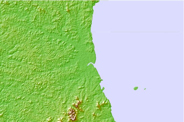
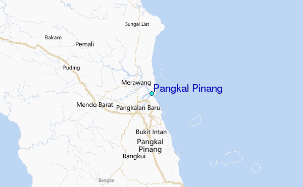
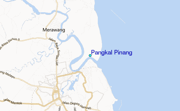
Use this relief map to navigate to tide stations, surf breaks and cities that are in the area of Pangkal Pinang.
Other Nearby Locations' tide tables and tide charts to Pangkal Pinang:
click location name for more details
 Surf breaks close to Pangkal Pinang:
|
||
|---|---|---|
| Closest surf break | Jimmys | 264 mi |
| Second closest surf break | Krui | 264 mi |
| Third closest surf break | Pulau Pisang | 264 mi |
| Fourth closest surf break | Mandiri | 266 mi |
| Fifth closest surf break | Ujung Walur | 266 mi |


 Nearest
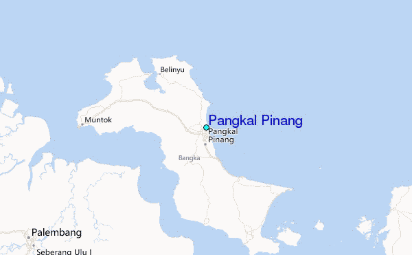