
| Distance / Altitude | Location | Report Date / Time | Live Weather | Wind | Gusts | Temp. | Visibility | Cloud |
|---|---|---|---|---|---|---|---|---|
| 100 km NE / 16 m | Puerto Princesa Air Force Base (Philippines) | 2026-07-10 02:00 local (2026/07/09 18:00 GMT) | Dry and partly cloudy | light winds from the WSW (11 km/h at 240) | 29°C | 10.0 | few scattered broken | |
| 103 km NE / 10 m | Puerto Princesa (Philippines) | 2026-07-10 02:00 local (2026/07/09 18:00 GMT) | distant precipitation but not falling at station | wind obs. (7 kph from 180 degs) was rejected (- km/h at -) | 27°C | 15 | - | |
| 185 km N / 0 m | lightning 129km NW of Bacungan (Philippines) | 2026-07-10 03:02 local (2026/07/09 19:02 GMT) | Thunderstorm | (- km/h at -) | — | |||
| 271 km NNE / 21 m | El Nido wx (Philippines) | 2026-07-10 03:24 local (2026/07/09 19:24 GMT) | dry | calm (0 km/h at 355) | 27°C | - | - - 0 | |
| 279 km S / 213 m | Kudat Airport (Malaysia) | 2026-07-10 02:00 local (2026/07/09 18:00 GMT) | - | light winds from the WSW.(Wind varies from 180 to 280 degs) (9 km/h at 240) | 28°C | 10.0 | few | |
| 306 km ESE / 0 m | lightning 167km WNW of Siocon (Philippines) | 2026-07-10 03:16 local (2026/07/09 19:16 GMT) | Thunderstorm | (- km/h at -) | — | |||
| 354 km S / 215 m | Sandakan Airport (Malaysia) | 2026-07-10 02:00 local (2026/07/09 18:00 GMT) | - | calm (4 km/h at 1) | 26°C | 10.0 | few | |
| 375 km ENE / 4 m | Cuyo (Philippines) | 2026-07-10 02:00 local (2026/07/09 18:00 GMT) | state of sky unchanged | wind obs. (7 kph from 200 degs) was rejected (- km/h at -) | 28°C | 15 | - | |
| 396 km NE / 102 m | Coron (Calamian Islands) (Philippines) | 2026-07-10 02:00 local (2026/07/09 18:00 GMT) | no report | calm (4 km/h at 150) | 30°C | 18 | - - - | |
| 418 km S / 218 m | Kota Kinabalu International Airport (Malaysia) | 2026-07-10 02:30 local (2026/07/09 18:30 GMT) | Thunderstorm - | light winds from the ESE.(Wind varies from 070 to 140 degs) (7 km/h at 110) | 27°C | 10.0 | few few scattered |
| Contours: | Roads & Rivers: | Select a
tide station / surf break / city |
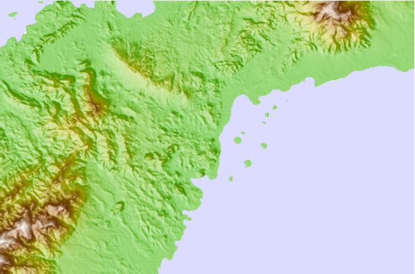
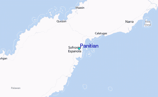
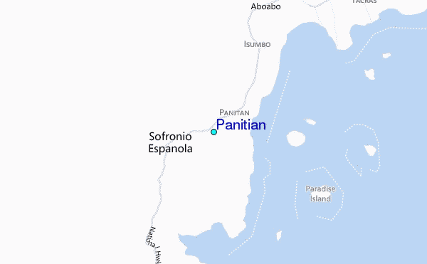
Use this relief map to navigate to tide stations, surf breaks and cities that are in the area of Panitian.
Other Nearby Locations' tide tables and tide charts to Panitian:
click location name for more details
 Surf breaks close to Panitian:
|
||
|---|---|---|
| Closest surf break | Cement Factory | 93 mi |
| Second closest surf break | Kudat (Pantai Kosuhui) | 170 mi |
| Third closest surf break | Kota Belud | 216 mi |
| Fourth closest surf break | Shabandar | 239 mi |
| Fifth closest surf break | Nexus West End | 247 mi |


 Nearest
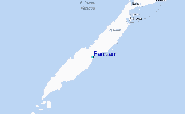