
| Distance / Altitude | Location | Report Date / Time | Live Weather | Wind | Gusts | Temp. | Visibility | Cloud |
|---|---|---|---|---|---|---|---|---|
| 6 km SE / 217 m | Paphos International Airport (Cyprus) | 2026-07-09 21:30 local (2026/07/09 18:30 GMT) | - | calm (2 km/h at 340) | 26°C | 10.0 | few | |
| 7 km ESE / 8 m | Paphos International Airport (Cyprus) | 2026-07-09 22:00 local (2026/07/09 19:00 GMT) | no report | light winds from the W (9 km/h at 260) | 30°C | 15 | - - - | |
| 21 km NNE / 219 m | Paphos (Cyprus) | 2026-07-09 21:29 local (2026/07/09 18:29 GMT) | dry | - (- km/h at ) | — | - | - - 0 | |
| 54 km ESE / 216 m | Akrotiri (RAF) (Cyprus) | 2026-07-09 21:20 local (2026/07/09 18:20 GMT) | - | light winds from the WSW (17 km/h at 250) | — | 0.0 | ||
| 54 km ESE / 216 m | Akrotiri (RAF) Airport (Cyprus) | 2026-07-09 21:20 local (2026/07/09 18:20 GMT) | - | light winds from the WSW (17 km/h at 250) | — | 0.0 | ||
| 55 km ESE / 26 m | Akrotiri (Cyprus) | 2026-07-09 22:00 local (2026/07/09 19:00 GMT) | - | light winds from the WSW (15 km/h at 250) | — | 35 | - - - | |
| 99 km ENE / 162 m | Athalassa (Cyprus) | 2026-07-09 22:00 local (2026/07/09 19:00 GMT) | no report | wind obs. (6 kph from 30 degs) was rejected (- km/h at -) | 36°C | 20 | - - - | |
| 108 km ENE / 219 m | Ercan Airport (Cyprus) | 2026-07-09 21:20 local (2026/07/09 18:20 GMT) | - | light winds from the W (17 km/h at 270) | 27°C | 10.0 | few | |
| 111 km E / 12 m | Larnaca Airport (Cyprus) | 2026-07-09 22:00 local (2026/07/09 19:00 GMT) | haze | moderate winds from the S (22 km/h at 190) | 31°C | 8 | - | |
| 111 km E / 218 m | Larnaca International Airport (Cyprus) | 2026-07-09 21:30 local (2026/07/09 18:30 GMT) | - | light winds from the SW (17 km/h at 220) | — | 0.0 | few few - |
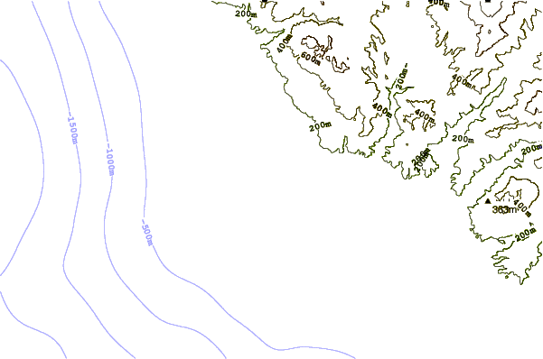
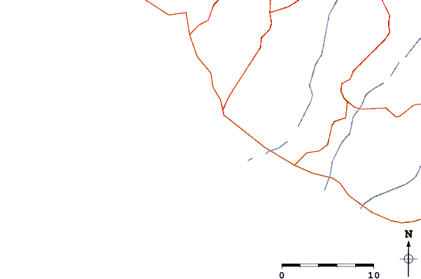
| Contours: | Roads & Rivers: | Select a
tide station / surf break / city |
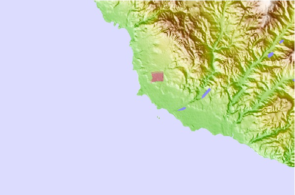
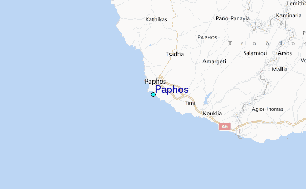
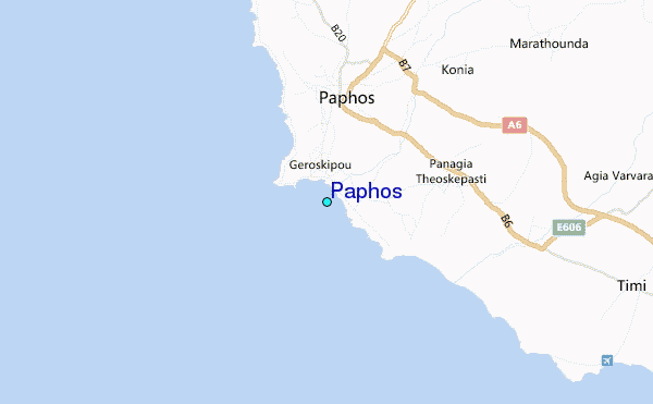
Use this relief map to navigate to tide stations, surf breaks and cities that are in the area of Paphos.
Other Nearby Locations' tide tables and tide charts to Paphos:
click location name for more details
 Surf breaks close to Paphos:
|
||
|---|---|---|
| Closest surf break | Venus Beach | 2 mi |
| Second closest surf break | Helios Bay | 4 mi |
| Third closest surf break | Potima Point | 7 mi |
| Fourth closest surf break | Cripplers | 14 mi |
| Fifth closest surf break | Shipwrecks | 32 mi |


 Nearest