
| Distance / Altitude | Location | Report Date / Time | Live Weather | Wind | Gusts | Temp. | Visibility | Cloud |
|---|---|---|---|---|---|---|---|---|
| 1 km E / 100 m | Manukau Heads Wind (New Zealand) | 2026-07-10 09:10 local (2026/07/09 21:10 GMT) | No weather report | moderate winds from the S (24 km/h at 180) | — | - | - - - | |
| 10 km NW / 213 m | Piha-Karekare (New Zealand) | 2026-07-10 09:03 local (2026/07/09 21:03 GMT) | No weather report | calm (4 km/h at 45) | 11°C | - | - - - | |
| 12 km SE / 70 m | Auckland (New Zealand) | 2026-07-10 08:38 local (2026/07/09 20:38 GMT) | dry | light winds from the SW (18 km/h at 220) | 11°C | - | - - 0 | |
| 18 km NE / 42 m | Titirangi- Auckland- NZ (New Zealand) | 2026-07-10 09:03 local (2026/07/09 21:03 GMT) | Dry | calm (4 km/h at 135) | 12°C | - | - - - | |
| 20 km N / 141 m | Nikau Grove (New Zealand) | 2026-07-10 08:47 local (2026/07/09 20:47 GMT) | No weather report | wind obs. (20 kph from 225 degs) was rejected (- km/h at -) | 9°C | - | - - - | |
| 21 km NNE / 22 m | Henderson (New Zealand) | 2026-07-10 09:04 local (2026/07/09 21:04 GMT) | Dry | calm (0 km/h at 135) | 11°C | - | - - - | |
| 21 km NE / 21 m | Blockhousia (New Zealand) | 2026-07-10 09:00 local (2026/07/09 21:00 GMT) | Dry | calm (2 km/h at 225) | 12°C | - | - - - | |
| 22 km NNE / 56 m | Ranui wx (New Zealand) | 2026-07-10 08:13 local (2026/07/09 20:13 GMT) | dry | calm (0 km/h at ) | 8°C | - | - - 0 | |
| 22 km NNE / 21 m | Waimoko Glen (New Zealand) | 2026-07-10 09:00 local (2026/07/09 21:00 GMT) | Dry | calm (0 km/h at 45) | 8°C | - | - - - | |
| 22 km SE / 9 m | Dunsmuir Station (New Zealand) | 2026-07-10 09:02 local (2026/07/09 21:02 GMT) | Dry | calm (0 km/h at 270) | 12°C | - | - - - |
| Contours: | Roads & Rivers: | Select a
tide station / surf break / city |
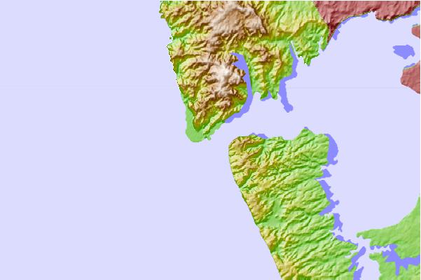
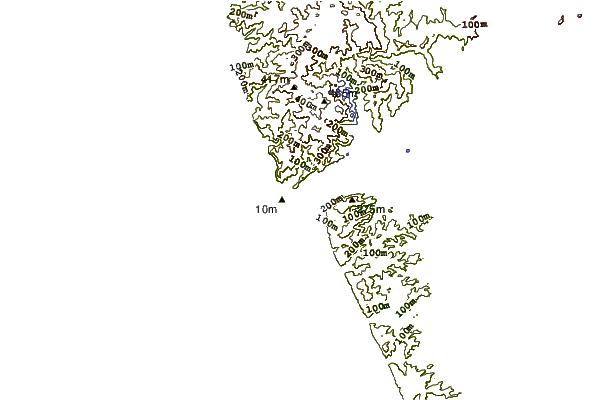
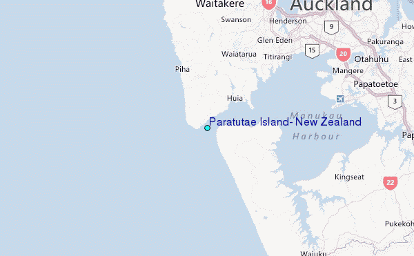
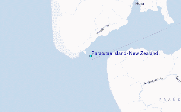
Use this relief map to navigate to tide stations, surf breaks and cities that are in the area of Paratutae Island, New Zealand.
Other Nearby Locations' tide tables and tide charts to Paratutae Island, New Zealand:
click location name for more details
 Surf breaks close to Paratutae Island, New Zealand:
|
||
|---|---|---|
| Closest surf break | Whatipu | 1 mi |
| Second closest surf break | Karekare | 4 mi |
| Third closest surf break | Piha-The Bar | 7 mi |
| Fourth closest surf break | Piha-The Ditch | 7 mi |
| Fifth closest surf break | Piha North | 8 mi |


 Nearest
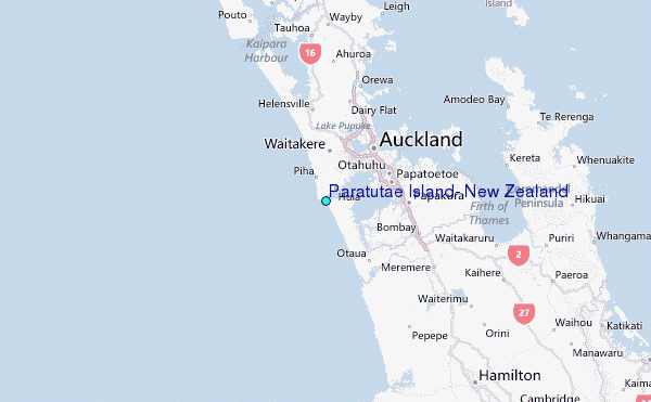