
| Distance / Altitude | Location | Report Date / Time | Live Weather | Wind | Gusts | Temp. | Visibility | Cloud |
|---|---|---|---|---|---|---|---|---|
| 71 km WSW / 3 m | Aparri (Philippines) | 2026-07-10 02:00 local (2026/07/09 18:00 GMT) | - | wind obs. (7 kph from 60 degs) was rejected (- km/h at -) | — | 20 | - - - | |
| 106 km SSW / 213 m | Tuguegarao (Philippines) | 2026-07-10 02:00 local (2026/07/09 18:00 GMT) | haze | calm (4 km/h at 190) | 33°C | 10 | - - - | |
| 129 km NE / 0 m | lightning 131km NNE of San Vicente (Philippines) | 2026-07-10 04:01 local (2026/07/09 20:01 GMT) | Thunderstorm | (- km/h at -) | — | |||
| 130 km WNW / 13 m | Calayan (Philippines) | 2026-07-10 02:00 local (2026/07/09 18:00 GMT) | no report | light winds from the ESE (14 km/h at 120) | 33°C | 25 | - | |
| 185 km E / 0 m | lightning 202km ENE of Casambalangan (Philippines) | 2026-07-10 03:49 local (2026/07/09 19:49 GMT) | Thunderstorm | (- km/h at -) | — | |||
| 188 km WSW / 9 m | Laoag (Philippines) | 2026-07-10 02:00 local (2026/07/09 18:00 GMT) | light rain showers | wind obs. (7 kph from 110 degs) was rejected (- km/h at -) | 29°C | 8 | - - - | |
| 190 km WSW / 344 m | Laoag International Airport (Philippines) | 2026-07-10 03:00 local (2026/07/09 19:00 GMT) | Dry and partly cloudy | light winds from the WSW (19 km/h at 250) | 30°C | 10.0 | few broken - | |
| 202 km SW / 49 m | Sinait Synoptic Station (Philippines) | 2026-07-10 02:00 local (2026/07/09 18:00 GMT) | thunderstorm but no precipitation falling at station | - (- km/h at -) | 31°C | 15 | - | |
| 216 km W / 15 m | SHIP3423 (Marine) | 2026-07-10 02:00 local (2026/07/09 18:00 GMT) | fresh winds from the NNW (33.480000000000004 km/h at 330) | 31°C | 17.7 km | |||
| 219 km SW / 5 m | Rugsuanan wx (Philippines) | 2026-07-10 03:30 local (2026/07/09 19:30 GMT) | - | - (- km/h at ) | 29°C | - | - - 0 |
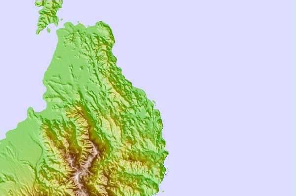
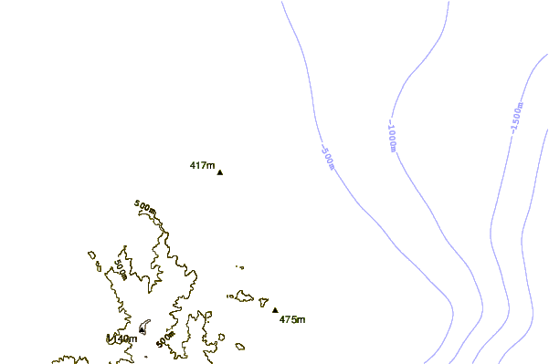
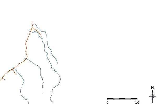
| Contours: | Roads & Rivers: | Select a
tide station / surf break / city |
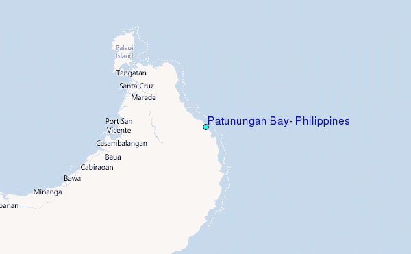
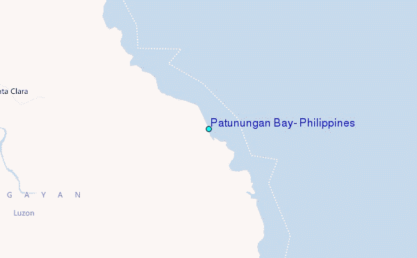
Use this relief map to navigate to tide stations, surf breaks and cities that are in the area of Patunungan Bay, Philippines.
Other Nearby Locations' tide tables and tide charts to Patunungan Bay, Philippines:
click location name for more details
 Surf breaks close to Patunungan Bay, Philippines:
|
||
|---|---|---|
| Closest surf break | Star Tubes | 126 mi |
| Second closest surf break | Badoc Point | 127 mi |
| Third closest surf break | Badoc Island Lefts | 128 mi |
| Fourth closest surf break | Turtle Head | 129 mi |
| Fifth closest surf break | Puro Pinget | 137 mi |


 Nearest
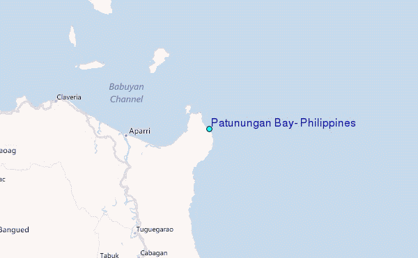