
| Distance / Altitude | Location | Report Date / Time | Live Weather | Wind | Gusts | Temp. | Visibility | Cloud |
|---|---|---|---|---|---|---|---|---|
| 31 km ENE / 15 m | ASCATB144E14S (Marine) | 2026-06-17 08:42 local (2026/06/16 22:42 GMT) | strong winds from the ESE (43 km/h at 122) | — | - km | |||
| 60 km NNE / 15 m | ASCATB144E13S (Marine) | 2026-06-17 08:42 local (2026/06/16 22:42 GMT) | strong winds from the SE (42 km/h at 130) | — | - km | |||
| 74 km ENE / 15 m | ASCATC144E14S (Marine) | 2026-06-17 09:10 local (2026/06/16 23:10 GMT) | fresh winds from the SE (37 km/h at 131) | — | - km | |||
| 80 km WSW / 244 m | Coen Airport (Australia) | 2026-06-17 11:00 local (2026/06/17 01:00 GMT) | no report | wind obs. (7 kph from 60 degs) was rejected (- km/h at -) | 18°C | - | - overcast - | |
| 90 km ENE / 15 m | ASCATC145E13S (Marine) | 2026-06-17 09:10 local (2026/06/16 23:10 GMT) | fresh winds from the ESE (37 km/h at 118) | — | - km | |||
| 93 km NE / 15 m | ASCATB145E13S (Marine) | 2026-06-17 08:42 local (2026/06/16 22:42 GMT) | strong winds from the ESE (39 km/h at 116) | — | - km | |||
| 136 km NW / 18 m | Lockhart River (Australia) | 2026-06-17 11:00 local (2026/06/17 01:00 GMT) | no report | - (- km/h at -) | 19°C | - | - - - | |
| 159 km ESE / 15 m | ASCATB145E14S (Marine) | 2026-06-17 08:42 local (2026/06/16 22:42 GMT) | fresh winds from the ESE (33 km/h at 120) | — | - km | |||
| 160 km ESE / 15 m | ASCATC145E14S (Marine) | 2026-06-17 09:10 local (2026/06/16 23:10 GMT) | fresh winds from the SE (34 km/h at 131) | — | - km | |||
| 167 km N / 15 m | ASCATB144E12S (Marine) | 2026-06-17 08:42 local (2026/06/16 22:42 GMT) | fresh winds from the ESE (33 km/h at 105) | — | - km |
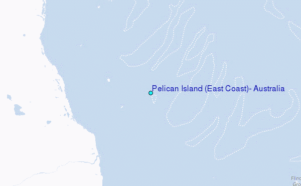
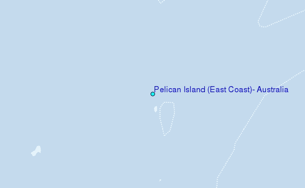
Choose Pelican Island (East Coast), Australia Location Map Zoom:
| Contours: | Roads & Rivers: | Select a
tide station / surf break / city |
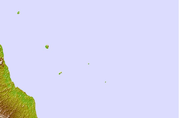

Use this relief map to navigate to tide stations, surf breaks and cities that are in the area of Pelican Island (East Coast), Australia.
Other Nearby Locations' tide tables and tide charts to Pelican Island (East Coast), Australia:
click location name for more details
 Surf breaks close to Pelican Island (East Coast), Australia:
|
||
|---|---|---|
| Closest surf break | Dolphin Heads | 606 mi |
| Second closest surf break | Eimeo Point | 606 mi |
| Third closest surf break | Lamberts Beach | 610 mi |
| Fourth closest surf break | North Wall Mackay Harbour Beach | 612 mi |
| Fifth closest surf break | South Wall Mackay Harbour | 612 mi |


 Nearest
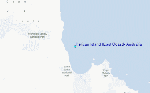