
| Distance / Altitude | Location | Report Date / Time | Live Weather | Wind | Gusts | Temp. | Visibility | Cloud |
|---|---|---|---|---|---|---|---|---|
| 112 km S / 45 m | Kununurra Airport (Australia) | 2026-06-22 12:30 local (2026/06/22 04:30 GMT) | Dry and partly cloudy | light winds from the SE (17 km/h at 140) | 27°C | 10.0 | no cloud broken - | |
| 159 km WNW / 15 m | SHIP950 (Marine) | 2026-06-22 13:00 local (2026/06/22 05:00 GMT) | fresh winds from the ESE (36.0 km/h at 120) | 27°C | - km | |||
| 346 km NE / 35 m | Darwin Airport (Australia) | 2026-06-22 12:30 local (2026/06/22 04:30 GMT) | Dry and partly cloudy | moderate winds from the E (24 km/h at 80) | 30°C | 10.0 | no cloud broken broken | |
| 346 km NE / 218 m | Darwin Airport (Australia) | 2026-06-22 12:30 local (2026/06/22 04:30 GMT) | Dry and partly cloudy | moderate winds from the E (24 km/h at 80) | 30°C | 10.0 | no cloud | |
| 359 km NE / 62 m | Herbert (Australia) | 2026-06-22 12:44 local (2026/06/22 04:44 GMT) | dry | wind obs. (6 kph from 10 degs) was rejected (- km/h at -) | 29°C | - | - - 0 | |
| 175 km WNW / 15 m | SHIP4604 (Marine) | 2026-06-22 11:00 local (2026/06/22 03:00 GMT) | strong winds from the ESE (43.2 km/h at 120) | 27°C | - km | |||
| 175 km WNW / 15 m | SHIP3144 (Marine) | 2026-06-22 11:00 local (2026/06/22 03:00 GMT) | strong winds from the ESE (43.2 km/h at 120) | 27°C | - km | |||
| 175 km WNW / 3 m | SHIP6854 (Marine) | 2026-06-22 11:00 local (2026/06/22 03:00 GMT) | strong winds from the ESE (43 km/h at 120) | 24°C | - | |||
| 175 km WNW / 3 m | SHIP2741 (Marine) | 2026-06-22 11:00 local (2026/06/22 03:00 GMT) | strong winds from the ESE (43 km/h at 120) | 24°C | - | |||
| 175 km WNW / 3 m | SHIP2000 (Marine) | 2026-06-22 11:00 local (2026/06/22 03:00 GMT) | strong winds from the ESE (43 km/h at 120) | 24°C | - |
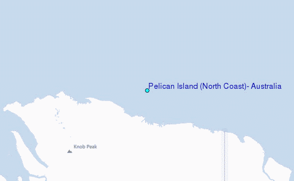
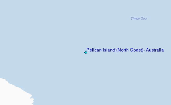
Choose Pelican Island (North Coast), Australia Location Map Zoom:
| Contours: | Roads & Rivers: | Select a
tide station / surf break / city |
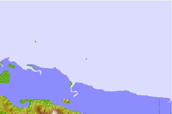
Use this relief map to navigate to tide stations, surf breaks and cities that are in the area of Pelican Island (North Coast), Australia.
Other Nearby Locations' tide tables and tide charts to Pelican Island (North Coast), Australia:
click location name for more details
 Surf breaks close to Pelican Island (North Coast), Australia:
|
||
|---|---|---|
| Closest surf break | Fannie Bay | 213 mi |
| Second closest surf break | Rapid Creek - Bar | 216 mi |
| Third closest surf break | Rapid Creek - Reef | 216 mi |
| Fourth closest surf break | Rapid Creek - Beach | 217 mi |
| Fifth closest surf break | Casuarina (Darwin) | 223 mi |


 Nearest
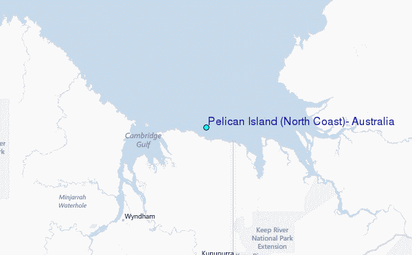